Dota Canton, Administrative region in San José Province, Costa Rica.
Dota Canton is an administrative region in San José Province comprising three districts across mountainous Los Santos Zone terrain. Santa María serves as the main administrative center, while Jardín and Copey form the other two districts within the canton.
The area became an official administrative territory through a decree issued in 1925, establishing it as a distinct canton. This creation helped organize local governance for the mountain communities that had grown throughout the region.
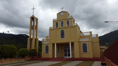
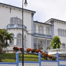
The three districts of Santa María, Jardín, and Copey each maintain their own local customs and celebrate community gatherings throughout the year. You can see how rural mountain life shapes daily routines, from the way homes are built to how people gather in central plazas.
The canton is connected by several national routes that link its three districts, with Santa María being the main place for local services and information. The mountain setting means roads wind through steep terrain, so travel between communities requires time and careful driving.
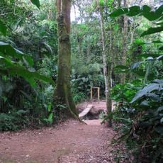
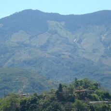
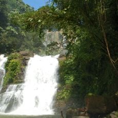
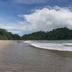
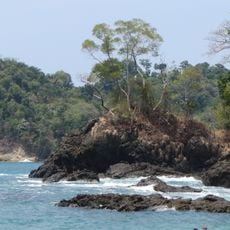
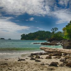
The Savegre River marks the southern edge of the region and creates a natural boundary that runs through the valley below. The Cordillera de Talamanca mountains rising to the north and northeast include some of Costa Rica's highest peaks.
Location: San José Province
Capital city: Santa María
Elevation above the sea: 1,839 m
Shares border with: El Guarco Canton, Cartago Canton, Pérez Zeledón Canton, Tarrazú Canton, León Cortés Castro Cantón, Desamparados Canton, Paraíso Canton
Website: http://dota.go.cr
GPS coordinates: 9.58475,-83.87367
Latest update: December 8, 2025 13:41
Manuel Antonio National Park
37 km
Cerro Chirripó
43.7 km
Irazú Volcano
44.3 km
National Theatre of Costa Rica
44.7 km
Cerro de la Muerte
13.3 km
National Museum of Costa Rica
44.4 km
Irazú Volcano National Park
43.5 km
Nuestra Señora de los Ángeles
31.4 km
Pre-Columbian Gold Museum
44.8 km
Orosi Church
23.7 km
Chirripó National Park
44.8 km
Castillo Azul
44.4 km
Parque del Este
42.6 km
Los Quetzales National Park
3.7 km
Tapantí National Park
22.2 km
Plaza Cleto González Víquez
43.7 km
Museum of Contemporary Art and Design
44.7 km
Lankester Botanical Garden
28.3 km
Cerro Caraigres
32.9 km
Biblioteca Nacional Miguel Obregon Lizano
44.7 km
Cerro Ventisqueros
41.7 km
Our Lady of Carmel Cathedral, Cartago
31.7 km
Iglesia de San Diego
37.8 km
Torre Latitud Los Yoses
43.8 km
Nauyaca Waterfalls
37.5 km
Playa Espadilla Sur
37.1 km
Playa Gemelas
37.2 km
Beach at Manuel Antonio Park
37.3 kmVisited this place? Tap the stars to rate it and share your experience / photos with the community! Try now! You can cancel it anytime.
Discover hidden gems everywhere you go!
From secret cafés to breathtaking viewpoints, skip the crowded tourist spots and find places that match your style. Our app makes it easy with voice search, smart filtering, route optimization, and insider tips from travelers worldwide. Download now for the complete mobile experience.
A unique approach to discovering new places❞
— Le Figaro
All the places worth exploring❞
— France Info
A tailor-made excursion in just a few clicks❞
— 20 Minutes