Nicoya Peninsula

Log in to your account

AroundUs is a community-driven map of interesting places, built by curious explorers like you. It grows with every review, story, and photo you share.
Connect to save your favorite spots, contribute locations, and create personalized routes.
Continue with Google
Continue with Apple
Continue with X
Continue with Facebook
Continue with email
By continuing, you accept our Terms and Conditions and our Privacy Policy
Create an account

Nicoya Peninsula

Add to collection
Map
Suggest a change
Share

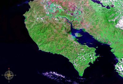
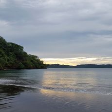
Nicoya Peninsula, Peninsula in Guanacaste Province, Costa Rica.

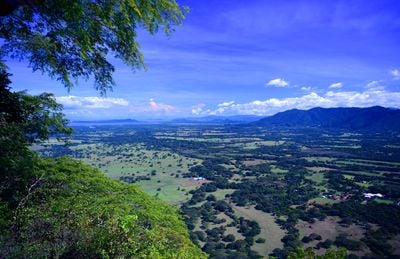
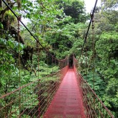
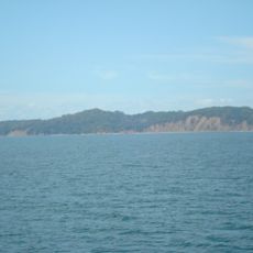
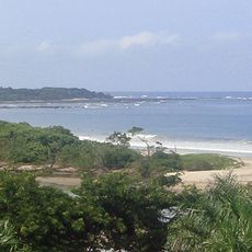
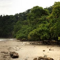
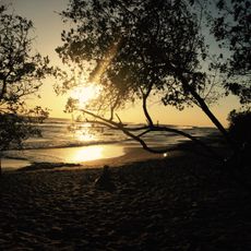
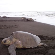
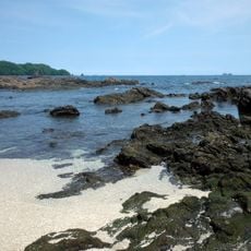
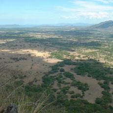
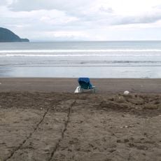
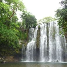
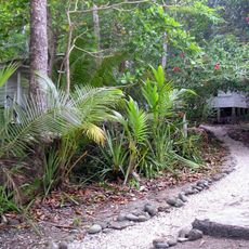
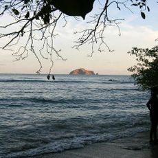
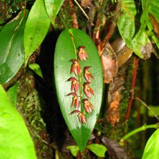
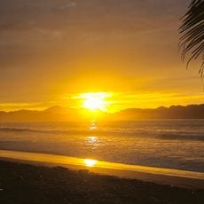
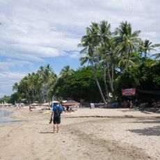
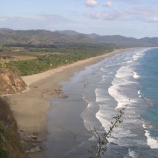
The Nicoya Peninsula is a landmass along the Pacific coast in Guanacaste Province with beaches, forests, and hills forming a varied landscape. The terrain transitions from coastal areas to inland forests and higher ground that shapes the region's geography.

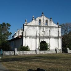
The peninsula was originally inhabited by the Chorotega people who left lasting cultural marks on the region. Over time, Spanish settlement brought changes to land use, and farming and fishing became the main economic activities.

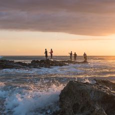
Daily life revolves around fishing and farming traditions that shape the community and are visible in local food markets and family meals. Traditional cooking with rice, corn, and beans connects people to their heritage and remains central to how families gather and eat together.

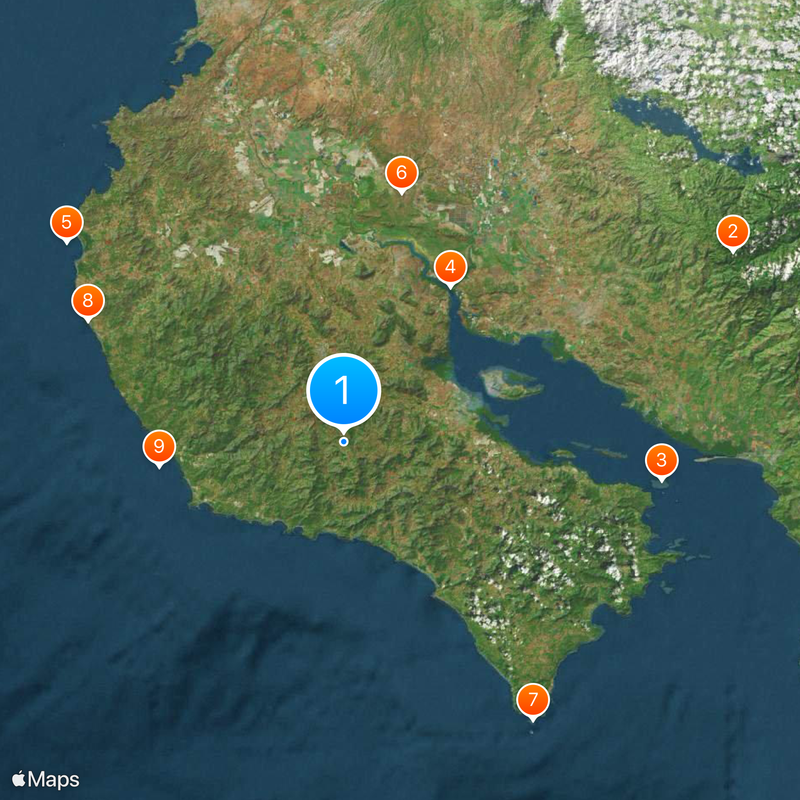
Access to different areas happens by road from the main towns, with travel times varying depending on your starting point. Plan to spend several hours traveling between locations, as distances can be substantial and road conditions change seasonally.

The region has gained international attention for residents living notably long lives, with research showing exceptional longevity patterns. Scientists have studied the area to understand the factors behind this health advantage.

Location: Guanacaste Province

Elevation above the sea: 466 m

Part of: Blue Zone

GPS coordinates: 10.00000,-85.41667

Latest update: December 20, 2025 12:21

Photos
Photo locations in Costa Rica

Costa Rica spans 19,700 square miles (51,100 square kilometers) between the Pacific Ocean and Caribbean Sea, offering photographers a concentration of varied landscapes within a compact area. The country maintains over 30 national parks and protected areas, including Arenal Volcano, whose...

Reviews

Visited this place? Tap the stars to rate it and share your experience / photos with the community! Try now! You can cancel it anytime.

« Nicoya Peninsula - Peninsula in Guanacaste Province, Costa Rica » is provided by Around Us (aroundus.com). Images and texts are derived from Wikimedia project under a Creative Commons license. You are allowed to copy, distribute, and modify copies of this page, under the conditions set by the license, as long as this note is clearly visible.

Discover hidden gems everywhere you go!

From secret cafés to breathtaking viewpoints, skip the crowded tourist spots and find places that match your style. Our app makes it easy with voice search, smart filtering, route optimization, and insider tips from travelers worldwide. Download now for the complete mobile experience.

Around Us App Screenshot

A unique approach to discovering new places

Le Figaro

All the places worth exploring

France Info

A tailor-made excursion in just a few clicks

20 Minutes