Chest opened
+${chestReward.xp} XP
Explorer
NOUVEAU ×${chestReward.collectible.quantity}
tapez pour fermer
Chest locked

Open chests in the app

Around Us is built for your phone — chests unlock when you walk, explore and capture nearby places.

Enable Location

We need your location to show you interesting places around you

Discover nearby places

Find interesting locations and hidden gems around you

Precise directions

Get accurate directions and distances to places

Your location is never shared with other users. It's only used when you tap the location button.

Log in to your account

Start exploring — it's free

Trusted by 72,879 travelers worldwide

Continue with Google
Continue with Apple
or

We will send you a code to connect

By continuing, you accept our Terms and Conditions and our Privacy Policy

Check your inbox

We've sent a pincode in your inbox. Please enter the code below.

Temascalapa Municipality
Discussion Reviews Photo
11.5k Popularity

Temascalapa Municipality, Administrative municipality in State of Mexico, Mexico.

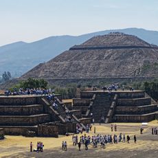
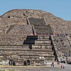
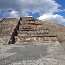
Temascalapa Municipality is an administrative division in the State of Mexico located in the northeastern region of the state. The territory covers mountainous terrain with elevations ranging between 2,200 and 2,700 meters, featuring rural settlements and agricultural areas throughout.

The municipality was officially established on June 19, 1899 during the Porfirio Díaz era as an independent administrative division. Prior to this, the territory formed part of Hidalgo's frontier region before being incorporated into the State of Mexico's administrative structure.

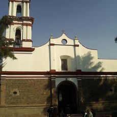
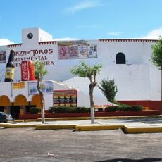
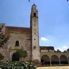
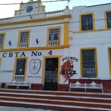
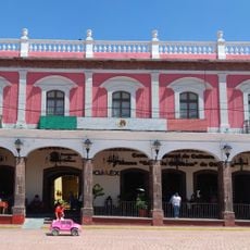
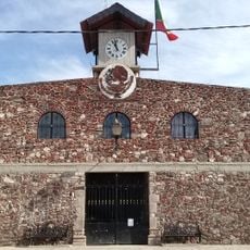
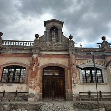
The municipality carries names rooted in Nahuatl language, reflecting the origins and communities that have inhabited these lands. Local practices visible in the town center show how people maintain their connection to agricultural traditions and the surrounding landscape.

The area connects to neighboring communities and Mexico City through established road networks accessible by car. Travel within and across the municipality typically requires personal transportation since public transit options remain limited.

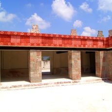
The territory contains tezontle stone, a volcanic material extracted for building and craftsmanship that has shaped local work for generations. This activity remains visible in the quarries and processing sites scattered throughout the region.

The community of curious travelers

AroundUs brings together thousands of curated places, local tips, and hidden gems, enriched daily by 60,000 contributors worldwide.

Start exploring
GPS coordinates
19.81630,-98.87610
Latest update
December 8, 2025 13:40
Reviews
Share your experience

No review yet

Discussions
Start a discussion...

No discussion yet

« Temascalapa Municipality - Administrative municipality in State of Mexico, Mexico » is provided by Around Us (aroundus.com). Images and texts are derived from Wikimedia project under a Creative Commons license. You are allowed to copy, distribute, and modify copies of this page, under the conditions set by the license, as long as this note is clearly visible.

Discover hidden gems everywhere you go!

From secret cafés to breathtaking viewpoints, skip the crowded tourist spots and find places that match your style. Our app makes it easy with voice search, smart filtering, route optimization, and insider tips from travelers worldwide. Download now for the complete mobile experience.

Around Us App Screenshot

A unique approach to discovering new places

Le Figaro

All the places worth exploring

France Info

A tailor-made excursion in just a few clicks

20 Minutes

Around Us
Travel Guide & Maps
Download

Send to your phone

QR Code
1

Open the camera app on your mobile.

2

Point at the QR code with your camera. A notification will appear.

3

Tap the notification to open the link.