Enable Location

We need your location to show you interesting places around you

Discover nearby places

Find interesting locations and hidden gems around you

Precise directions

Get accurate directions and distances to places

Your location is never shared with other users. It's only used when you tap the location button.

Huajuapan de León

Log in to your account

Start exploring — it's free

Trusted by 62,118 travelers worldwide

Continue with Google
Continue with Apple
or

We will send you a code to connect

By continuing, you accept our Terms and Conditions and our Privacy Policy

Check your inbox

We've sent a pincode in your inbox. Please enter the code below.

Huajuapan de León

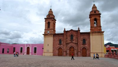
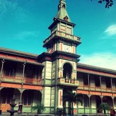
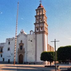
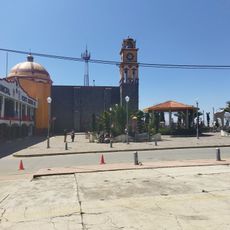
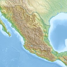
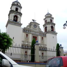
Huajuapan de León, Colonial municipality in Mixteca Region, Oaxaca, Mexico.

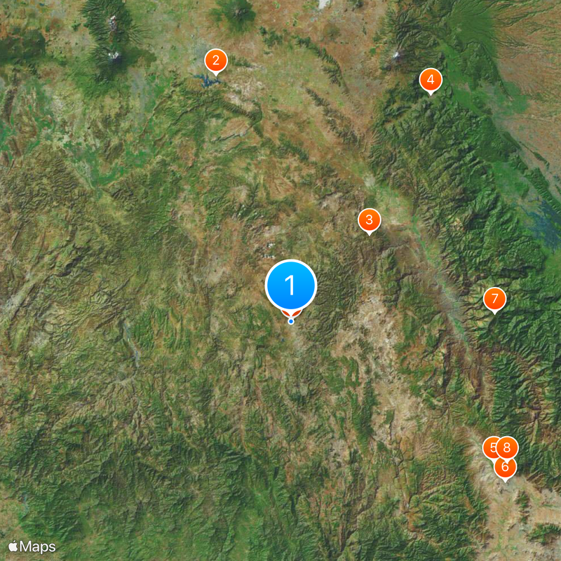
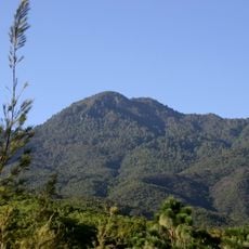
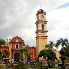
Huajuapan de León is a town in the Mixteca region sitting on a mountain plateau at 1,641 meters above sea level. It bridges two main highways and spreads across several hills and valleys.

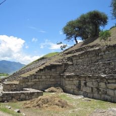
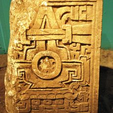
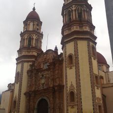
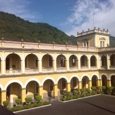
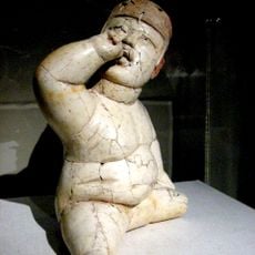
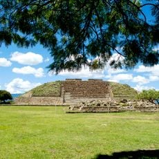
The area was home to ancient Mixtec peoples from around 400 BCE before Spanish colonizers arrived in the 16th century and established it as a trading center. The town later experienced a major armed conflict during the independence period.

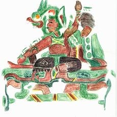
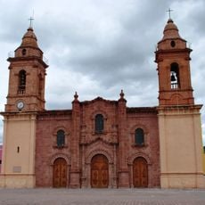
The town carries forward Mixtec traditions visible in daily life and local celebrations among its inhabitants. The indigenous language and customs continue to shape the character of the place.

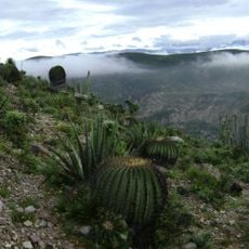
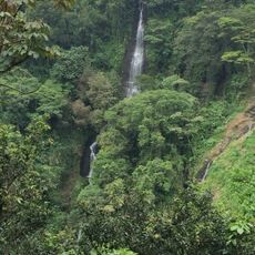
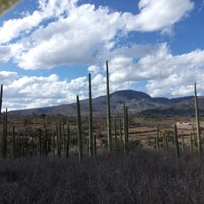
The location has a cool mountain climate with heavy rains falling between May and October, so plan visits with suitable gear for wet conditions. The high altitude can feel tiring for visitors from lower elevations, so arriving gradually helps adjustment.

An ancient trade route passed through this location, linking the valley to other regions and ensuring its importance across centuries. This position made it a key meeting point for different populations.

The community of curious travelers

AroundUs brings together thousands of curated places, local tips, and hidden gems, enriched daily by 60,000 contributors worldwide.

Start exploring
Elevation above the sea
1,591 m
GPS coordinates
17.80967,-97.77643
Latest update
December 17, 2025 08:29
« Huajuapan de León - Colonial municipality in Mixteca Region, Oaxaca, Mexico » is provided by Around Us (aroundus.com). Images and texts are derived from Wikimedia project under a Creative Commons license. You are allowed to copy, distribute, and modify copies of this page, under the conditions set by the license, as long as this note is clearly visible.

Discover hidden gems everywhere you go!

From secret cafés to breathtaking viewpoints, skip the crowded tourist spots and find places that match your style. Our app makes it easy with voice search, smart filtering, route optimization, and insider tips from travelers worldwide. Download now for the complete mobile experience.

Around Us App Screenshot

A unique approach to discovering new places

Le Figaro

All the places worth exploring

France Info

A tailor-made excursion in just a few clicks

20 Minutes

Around Us
Travel Guide & Maps
Download

Send to your phone

QR Code
1

Open the camera app on your mobile.

2

Point at the QR code with your camera. A notification will appear.

3

Tap the notification to open the link.