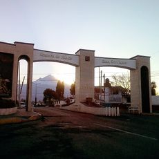
Amecameca Municipality, Administrative division in the State of Mexico, Mexico.
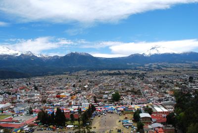
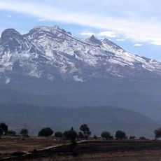
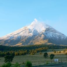
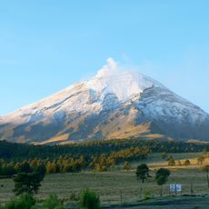
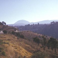
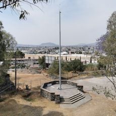
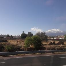
Amecameca Municipality encompasses territory with varying elevations, combining agricultural areas and residential zones. The area sits near the Popocatépetl volcano and blends rural and urban spaces across central Mexico.
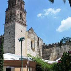
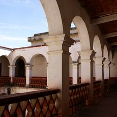
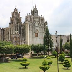
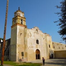
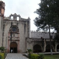
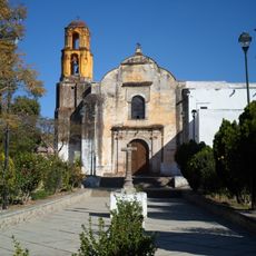
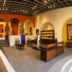
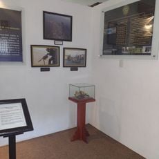
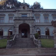
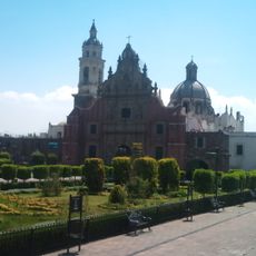
The territory contains archaeological evidence of pre-Columbian settlements showing early human presence. Spanish colonization later reshaped the region and its development.
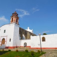
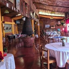
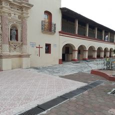
The municipality hosts traditional religious celebrations where local music and regional food bring people together. These gatherings reflect customs that shape daily life and community identity throughout the year.
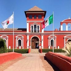
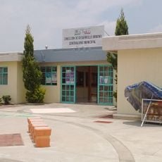
The area is accessible and equipped with public facilities for visitors and residents. The best time to visit is during the dry season when roads and hiking trails are in better condition.
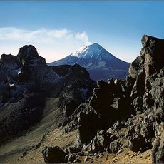
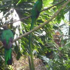
The location sits at a notable elevation that supports distinctive flora and fauna of central Mexican highlands. This setting offers visitors rare chances to observe native plants and wildlife in their natural habitat.
Location: State of Mexico
Capital city: Amecameca de Juárez
Elevation above the sea: 2,483 m
GPS coordinates: 19.11667,-98.76667
Latest update: December 7, 2025 10:06
Popocatépetl
18.3 km
Iztaccihuatl
14.7 km
Iztaccíhuatl–Popocatépetl National Park
17.2 km
Tlapacoya
25.7 km
Monasteries on the slopes of Popocatépetl
24.5 km
Former convent of Saint Andrew
31.8 km
The Nest
26 km
San Nicolás Tetelco
24.3 km
Glaciar Norte
18 km
Convent of Saint Mathew the Apostle, Atlatlahucan
24.5 km
Former convent of Saint John the Baptist
25.3 km
Former convent of Saint William
21.3 km
Former convent of Saint Dominic de Guzmán
26.9 km
Convento de Santiago Apóstol
26.7 km
Papayo
22.4 km
Museo de Sor Juana Inés de la Cruz
2.9 km
Museo Sor Juana Inés de la Cruz
17.3 km
Museo Comunitario del Valle de Xico
24.9 km
Cuerpo De Fuerzas Especiales
13.3 km
Aleman Munich
5.9 km
Museum Cartonería
20.3 km
Dif Municipal Juchitepef
12.7 km
San Andrés Míxquic
24.1 km
La Castañeda
4.6 km
Contraloria Chalco
17.9 km
Floreria La Colonia
31.5 km
Arco Ozumba
9.8 km
Cathedral of St. Juan Diego, Valle de Chalco Solidaridad
21.2 kmVisited this place? Tap the stars to rate it and share your experience / photos with the community! Try now! You can cancel it anytime.
Discover hidden gems everywhere you go!
From secret cafés to breathtaking viewpoints, skip the crowded tourist spots and find places that match your style. Our app makes it easy with voice search, smart filtering, route optimization, and insider tips from travelers worldwide. Download now for the complete mobile experience.
A unique approach to discovering new places❞
— Le Figaro
All the places worth exploring❞
— France Info
A tailor-made excursion in just a few clicks❞
— 20 Minutes