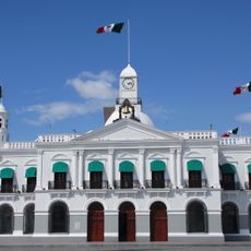
Cárdenas, Administrative division in Tabasco, Mexico.
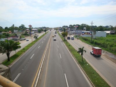
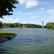
Cárdenas is an administrative region in the Mexican state of Tabasco that manages municipal services and local governance for its residents. The area combines urban facilities with rural zones where residential communities and administrative offices operate together.
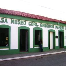
The region was named to honor Lázaro Cárdenas, who served as Mexico's president from 1934 to 1940. This naming reflects the importance this area holds in Mexico's regional and national development.
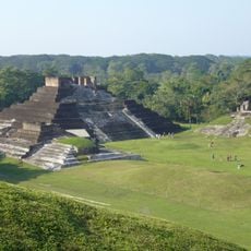
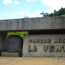
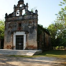
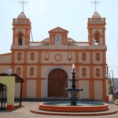
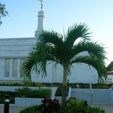
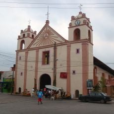
The place serves as a social center for the region, where local traditions and community gatherings shape daily life in Tabasco. People here maintain connections through shared customs tied to their agricultural roots and regional identity.
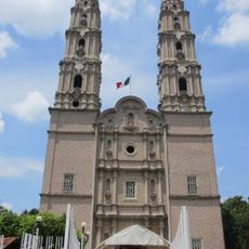
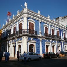
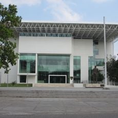
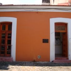
Visitors can find central administrative buildings and municipal services that handle everyday matters for local residents. The best time to explore is during weekday hours when offices are open and the region's daily rhythm is most visible.
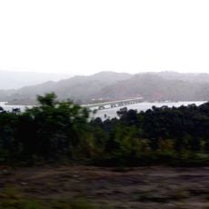
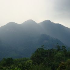
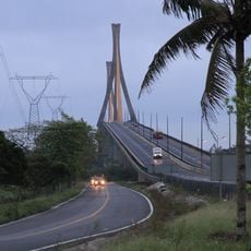
The area blends administrative operations with active farming across its territory, as numerous agricultural plots operate within the municipal boundaries. This creates a distinctive character where government functions and rural production coexist throughout the region.
The community of curious travelers
AroundUs brings together thousands of curated places, local tips, and hidden gems, enriched daily by 60,000 contributors worldwide.