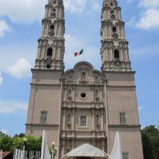
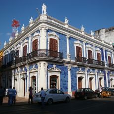
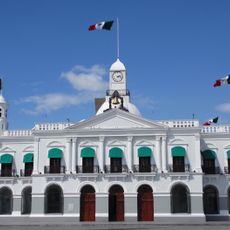
Cunduacán, Administrative division in Tabasco, Mexico
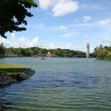
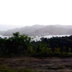
Cunduacán is an administrative municipality located in the central region of Tabasco. The area spans approximately 1,000 square kilometers and consists of villages, ranches, ejidos, and residential settlements connected by regional roads.
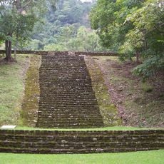
The region was originally settled by Ahualulco people who migrated from Cárdenas and established farming communities focused on cacao production. Later, the area became important during 1860s conflicts between local forces and foreign powers.
The name comes from Maya language roots connected to pottery, bread, and serpents, reflecting the area's historical ties to craftsmanship and nature. These meanings remain visible in local traditions and daily practices.
The best time to explore is during drier months when roads are more reliable and easier to travel. Plan enough time since the area is spread out and regional roads require travel time between locations.
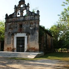
A battle called El Jahuactal occurred here in 1863, marking a victory for local liberal forces against French intervention. This event remains a significant part of how locals remember their region's resistance against external powers.
GPS coordinates: 18.08729,-93.23214
Latest update: December 10, 2025 15:54
Sumidero Canyon
138.1 km
La Venta
84.6 km
El Chichón
81 km
Temple of the Inscriptions
142.5 km
Comalcalco
21.6 km
Sumidero Canyon National Park
140.5 km
Parque-Museo La Venta
32.9 km
Tomb of the Red Queen
142.4 km
Yumká
34 km
Cathedral of the Lord, Villahermosa
34 km
Laguna de Las Ilusiones
34.6 km
Museo de Historia de Tabasco Casa de los Azulejos
35 km
Tortuguero
83.3 km
Chiapas Bridge
112.5 km
Government Palace of Tabasco
34.9 km
Museo de Antropología Carlos Pellicer
34.8 km
Malpasito
91.8 km
Sierra de Tabasco State Park
79.8 km
Templo Padre Jesús de Nazaret
395 mQuechula
115.8 km
Casa Museo Carlos Pellicer Cámara
35 km
Iglesia de la Natividad de María
6.6 km
Villahermosa México Temple
33.4 km
Iglesia de Nuestra Señora de la Asunción
70 km
Puente Ing. Antonio Dovalí Jaime
128.9 km
Casa Museo Cnel. Gregorio Méndez Magaña
34 km
Puerto de Coatzacoalcos
127.4 km
Pejelagartero 1.ª Sección (Gpe. Victoria)
63.6 kmVisited this place? Tap the stars to rate it and share your experience / photos with the community! Try now! You can cancel it anytime.
Discover hidden gems everywhere you go!
From secret cafés to breathtaking viewpoints, skip the crowded tourist spots and find places that match your style. Our app makes it easy with voice search, smart filtering, route optimization, and insider tips from travelers worldwide. Download now for the complete mobile experience.
A unique approach to discovering new places❞
— Le Figaro
All the places worth exploring❞
— France Info
A tailor-made excursion in just a few clicks❞
— 20 Minutes