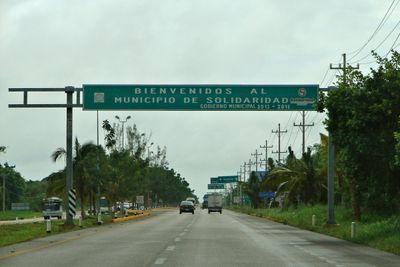
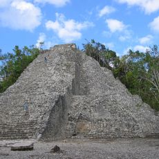
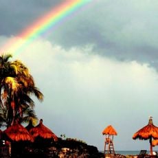
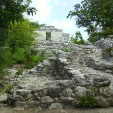
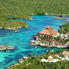
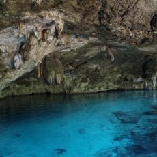
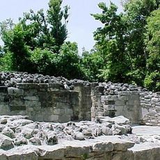
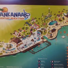
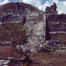
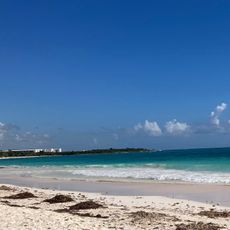
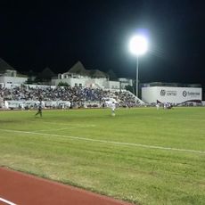
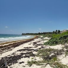
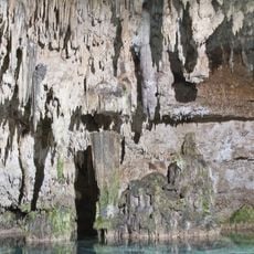
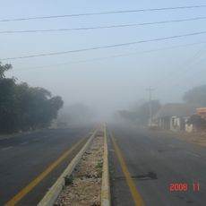
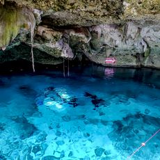
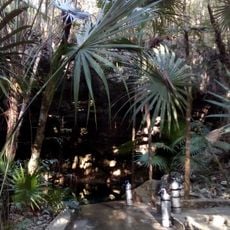
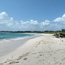
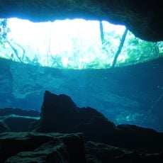
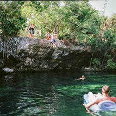
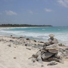
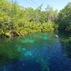
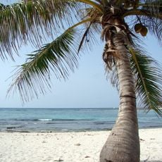
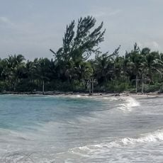
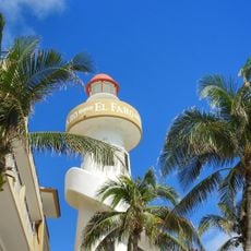
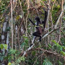
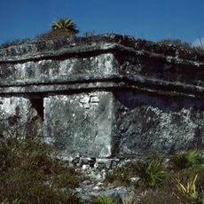
Solidaridad, municipality of Quintana Roo, Mexico
Location: Quintana Roo
Inception: July 28, 1993
Capital city: Playa del Carmen
Elevation above the sea: 10 m
Website: https://gobiernodesolidaridad.gob.mx
GPS coordinates: 20.58333,-87.43333
Latest update: March 3, 2025 02:18
Coba
32.1 km
Xcaret
32.7 km
Xcaret
32.7 km
Xel-Ha Park
30.7 km
Sistema Dos Ojos
29.1 km
Xelha
30.3 km
Río Secreto
31.1 km
Parque Chankanaab
48.4 km
El Meco
29.7 km
Xpu Ha Beach
22.1 km
Estadio Unidad Deportiva
38.3 km
Xcacel Beach
28.7 km
Choo-Ha
37.1 km
Cozumel Musem
51.2 km
Cobá
33.3 km
Cenote Tak Be Ha
29.1 km
Cenote Tajma-Ha
19.7 km
Gastón Charó Gallery
37.8 km
Playa Chemuyil
27.7 km
Chac Mool Cenote
20.9 km
Cenote Cristalino
21.7 km
Xcacel Beach
28.7 km
Cenote Xunaan-Ha
27.7 km
Paamul Beach
26 km
Playa Xpu-Ha
22.1 km
Playa del Carmen Lighthouse
38 km
Punta Laguna Nature Reserve
21.9 km
Caleta Chacalal
23.1 kmReviews
Visited this place? Tap the stars to rate it and share your experience / photos with the community! Try now! You can cancel it anytime.
Discover hidden gems everywhere you go!
From secret cafés to breathtaking viewpoints, skip the crowded tourist spots and find places that match your style. Our app makes it easy with voice search, smart filtering, route optimization, and insider tips from travelers worldwide. Download now for the complete mobile experience.
A unique approach to discovering new places❞
— Le Figaro
All the places worth exploring❞
— France Info
A tailor-made excursion in just a few clicks❞
— 20 Minutes