Quintana Roo

Log in to your account

AroundUs is a community-driven map of interesting places, built by curious explorers like you. It grows with every review, story, and photo you share.
Connect to save your favorite spots, contribute locations, and create personalized routes.
By continuing, you accept our Terms and Conditions and our Privacy Policy
Add to collection
Map
Suggest a change
Share

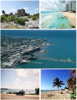
Quintana Roo, State on the eastern coast of Yucatan Peninsula, Mexico.

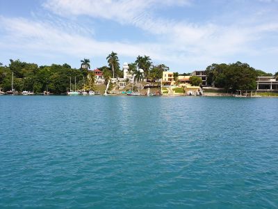
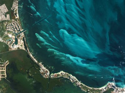
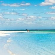
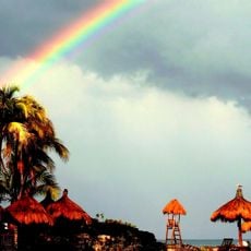
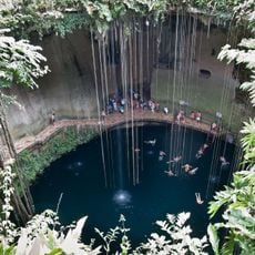
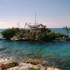
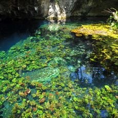
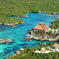
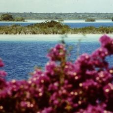
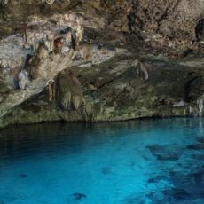
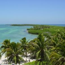
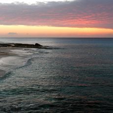
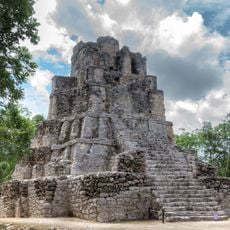
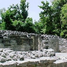
Quintana Roo stretches along the eastern shore of the Yucatan Peninsula, covering Caribbean coastline, tropical rainforest, mangroves, and shallow lagoons. The landscape features pale sand beaches, a long coral reef running offshore, and underground rivers flowing through limestone caverns beneath the surface.

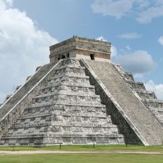
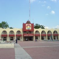
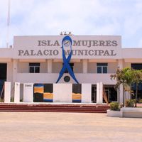
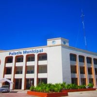
The region was separated from Yucatan in 1902 to create a federal territory, bringing order to remote eastern areas that remained isolated. It gained full statehood in 1974 after decades of road construction and the development of new coastal towns.

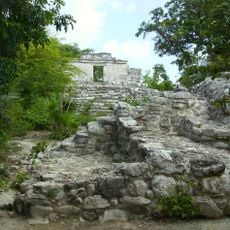
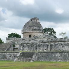
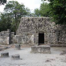
Families in small towns away from the coast still speak Maya at home and prepare meals using recipes passed through many generations. Traditional ceremonies take place in village centers, where visitors can sense how deeply local communities remain connected to their ancestral roots.

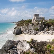
Cancun airport in the north offers international connections and serves as a gateway for travel to all parts of the region. Highway routes run south along the coast and inland toward archaeological sites and remote communities.

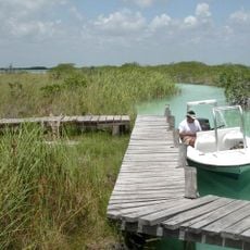
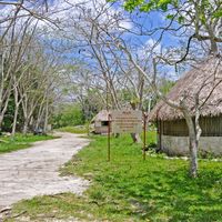
The Sian Ka'an biosphere south of Tulum protects vast wetlands where manatees and crocodiles live in the wild. Visitors can navigate narrow channels lined with mangroves by small boat, watching waterbirds and other wildlife in their natural setting.

Location: Mexico

Inception: October 8, 1974

Capital city: Chetumal

Elevation above the sea: 31 m

Reference: ROO

Shares border with: Campeche, Orange Walk District, Corozal District, Yucatán

Address: Quintana Roo, Mexico

Website: http://qroo.gob.mx

GPS coordinates: 19.60000,-87.91667

Latest update: December 15, 2025 02:30

Photos
Hiddem gems of Quintana Roo

Southern Quintana Roo is a region filled with nature reserves, cenotes, lagoons, and archaeological sites. You'll find traditional Maya villages, coral reefs, and mangrove forests throughout the area. Visitors swim in the waters, observe wildlife in nature reserves, and walk among Maya ruins...

Reviews

Visited this place? Tap the stars to rate it and share your experience / photos with the community! Try now! You can cancel it anytime.

« Quintana Roo - State on the eastern coast of Yucatan Peninsula, Mexico » is provided by Around Us (aroundus.com). Images and texts are derived from Wikimedia project under a Creative Commons license. You are allowed to copy, distribute, and modify copies of this page, under the conditions set by the license, as long as this note is clearly visible.

Discover hidden gems everywhere you go!

From secret cafés to breathtaking viewpoints, skip the crowded tourist spots and find places that match your style. Our app makes it easy with voice search, smart filtering, route optimization, and insider tips from travelers worldwide. Download now for the complete mobile experience.

Around Us App Screenshot

A unique approach to discovering new places

Le Figaro

All the places worth exploring

France Info

A tailor-made excursion in just a few clicks

20 Minutes