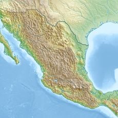
Othón P. Blanco Municipality, Municipality in Quintana Roo, Mexico.
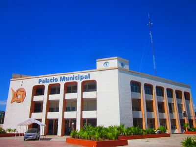
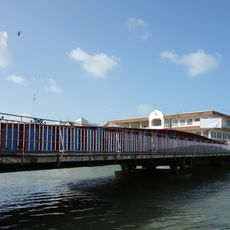
Othón P. Blanco is an administrative region in Quintana Roo covering roughly 10,000 square kilometers with more than 700 small settlements spread across the territory. Chetumal, the largest city here, serves as the regional administrative center and state capital.
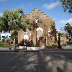
The territory became an independent administrative division in 1975 and was named after Othón P. Blanco, a Mexican naval officer who founded Chetumal. The region functioned for centuries before this as a trading hub and crossroads between the Caribbean coast and inland settlements.
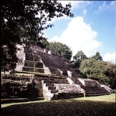
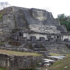
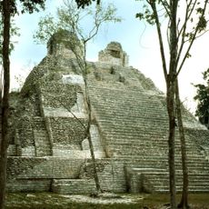
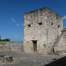
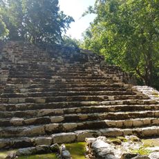
The region holds deep roots in Maya civilization, visible in sites like Dzibanché, Kohunlich, and Ichkabal scattered across the territory. Visitors walking through these areas can see how ancient building methods and settlement patterns shaped the landscape you see today.
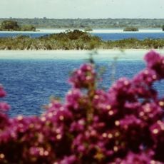
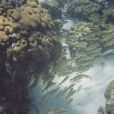
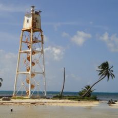
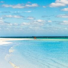
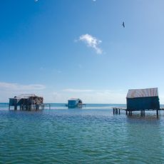
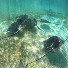
The region protects three important natural reserves: the Uaymil Flora and Fauna Protection Area, a manatee sanctuary, and Banco Chinchorro Biosphere Reserve. Visitors should note that these protected areas have different access conditions, and it helps to check ahead about the best times to explore them.
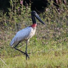
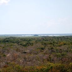
The territory is known for rare forest trees like sapodilla and mahogany that have been used by local people for centuries. Together with wildlife such as manatees and white-tailed deer, these trees form an ecosystem that visitors can experience directly in the protected nature reserves.
The community of curious travelers
AroundUs brings together thousands of curated places, local tips, and hidden gems, enriched daily by 60,000 contributors worldwide.