Chest opened
+${chestReward.xp} XP
Explorer
NOUVEAU ×${chestReward.collectible.quantity}
tapez pour fermer

See the monuments around you in AR Open chests in the app

Around Us is built for your phone — point your camera at the streets and discover the monuments and places around you in augmented reality. Around Us is built for your phone — chests unlock when you walk, explore and capture nearby places.

Enable Location

We need your location to show you interesting places around you

Discover nearby places

Find interesting locations and hidden gems around you

Precise directions

Get accurate directions and distances to places

Your location is never shared with other users. It's only used when you tap the location button.

Piedras Negras

Log in to your account

Start exploring — it's free

Trusted by 86,422 travelers worldwide

Continue with Google
Continue with Apple
or

We will send you a code to connect

By continuing, you accept our Terms and Conditions and our Privacy Policy

Check your inbox

We've sent a pincode in your inbox. Please enter the code below.

Piedras Negras
Discussion Reviews 2 Photos
75.5k Popularity

Piedras Negras, Border city in Coahuila, Mexico

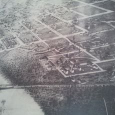
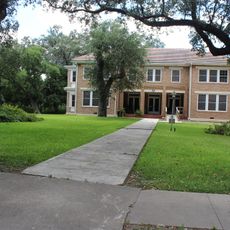
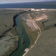
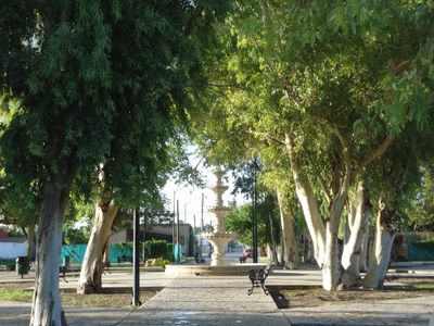
Piedras Negras sits along the Rio Grande facing Eagle Pass in Texas, with a population of around 160,000 spread across roughly 50 square miles (130 square kilometers). The city unfolds along the riverbank with residential districts, commercial zones, and several parks connected by wide avenues.

The settlement began in 1850 as Nueva Villa de Herrera and grew into a key border crossing after the railway line reached it in 1883. During the Mexican Revolution, the town served repeatedly as a refuge for people fleeing violence from the interior.

The city holds the International Day of the Nacho celebration each October 21st, recognizing Ignacio Anaya who created this dish in 1943.

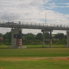
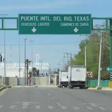
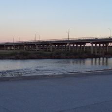
Three international bridges link the city to Eagle Pass, allowing daily crossings for trade, work, and travel. Wait times at the crossings vary by time of day and weekday, with early morning hours typically faster.

The Plaza de las Culturas displays replicas of three major Mexican pyramids: Chichén Itzá, El Tajín, and Teotihuacán, all lit up in the evening. Ignacio Anaya invented nachos here in 1943, an event celebrated every year on October 21st.

The community of curious travelers

AroundUs brings together thousands of curated places, local tips, and hidden gems, enriched daily by 60,000 contributors worldwide.

Start exploring
Inception
June 15, 1850
Part of
Mexico–United States border
GPS coordinates
28.70806,-100.52833
Latest update
September 12, 2026 11:54
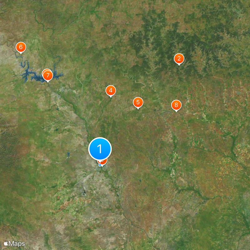
Around this place
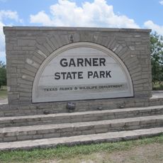
Garner State Park
United States of America

Garner State Park

77.1 mi
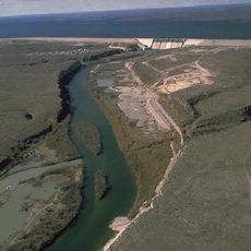
Amistad Reservoir
United States of America

Amistad Reservoir

60.5 mi
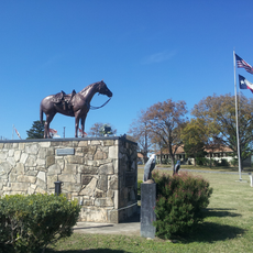
Fort Clark
United States of America

Fort Clark

41.9 mi
Sleeping Spring Draw
United States of America

Sleeping Spring Draw

1708.2 mi
Seminole Canyon State Park and Historic Site
United States of America

Seminole Canyon State Park and Historic Site

82.6 mi
Amistad National Recreation Area
United States of America

Amistad National Recreation Area

59.5 mi
Fort Inge
United States of America

Fort Inge

56.5 mi
Fort Duncan
United States of America

Fort Duncan

1.5 mi
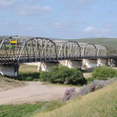
Eagle Pass – Piedras Negras International Bridge
Mexico

Eagle Pass – Piedras Negras International Bridge

1 mi
John Nance Garner House
United States of America

John Nance Garner House

56.6 mi
Del Río – Ciudad Acuña International Bridge
Mexico

Del Río – Ciudad Acuña International Bridge

49.1 mi
Lake Amistad Dam International Crossing
United States of America

Lake Amistad Dam International Crossing

60.5 mi
Camino Real International Bridge
United States of America

Camino Real International Bridge

1.3 mi
Whitehead Memorial Museum
United States of America

Whitehead Memorial Museum

49.8 mi
Grand Opera House
United States of America

Grand Opera House

56.8 mi
Mexico

Rio San Rodrigo

14.8 mi
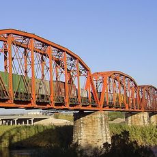
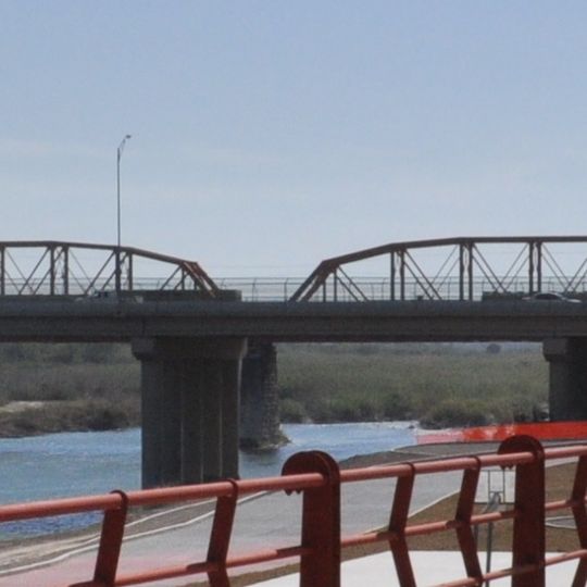
Union Pacific International Railroad Bridge
Mexico

Union Pacific International Railroad Bridge

1.4 mi
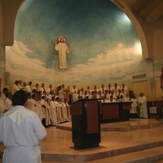
Martyrs of Christ the King Cathedral, Piedras Negras
Mexico

Martyrs of Christ the King Cathedral, Piedras Negras

2.6 mi
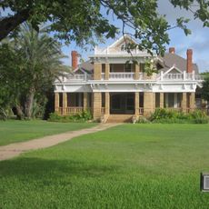
Asher and Mary Isabelle Richardson House
United States of America

Asher and Mary Isabelle Richardson House

50 mi
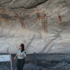
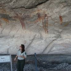
Fate Bell Shelter
United States of America

Fate Bell Shelter

83.3 mi
State Highway 3 Bridge at the Nueces River
United States of America

State Highway 3 Bridge at the Nueces River

51.2 mi
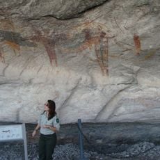
Lower Pecos Canyonlands Archeological District
United States of America

Lower Pecos Canyonlands Archeological District

83.3 mi
Uvalde Downtown Historic District
United States of America

Uvalde Downtown Historic District

56.7 mi
Seminole Canyon District
United States of America

Seminole Canyon District

83.3 mi
La Salle County Courthouse
United States of America

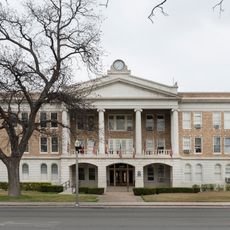
La Salle County Courthouse

80.7 mi
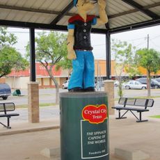
Popeye statue in Crystal City
United States of America

Popeye statue in Crystal City

42.4 mi
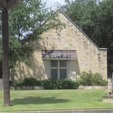
St. Philip's Episcopal Church
United States of America

St. Philip's Episcopal Church

56.8 mi
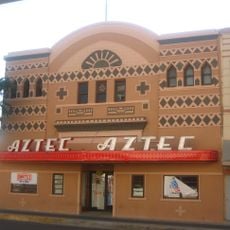
Aztec Theatre
United States of America

Aztec Theatre

1.5 mi
Show the full map
Reviews
Share your experience

No review yet

Discussions
Start a discussion...

No discussion yet

« Piedras Negras - Border city in Coahuila, Mexico » is provided by Around Us (aroundus.com). Images and texts are derived from Wikimedia project under a Creative Commons license. You are allowed to copy, distribute, and modify copies of this page, under the conditions set by the license, as long as this note is clearly visible.

Discover hidden gems everywhere you go!

From secret cafés to breathtaking viewpoints, skip the crowded tourist spots and find places that match your style. Our app makes it easy with voice search, smart filtering, route optimization, and insider tips from travelers worldwide. Download now for the complete mobile experience.

Around Us App Screenshot

A unique approach to discovering new places

Le Figaro

All the places worth exploring

France Info

A tailor-made excursion in just a few clicks

20 Minutes

Around Us
Travel Guide & Maps
Download

Send to your phone

QR Code
1

Open the camera app on your mobile.

2

Point at the QR code with your camera. A notification will appear.

3

Tap the notification to open the link.