Mississippi River Delta, River delta in Louisiana, United States
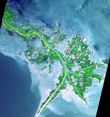
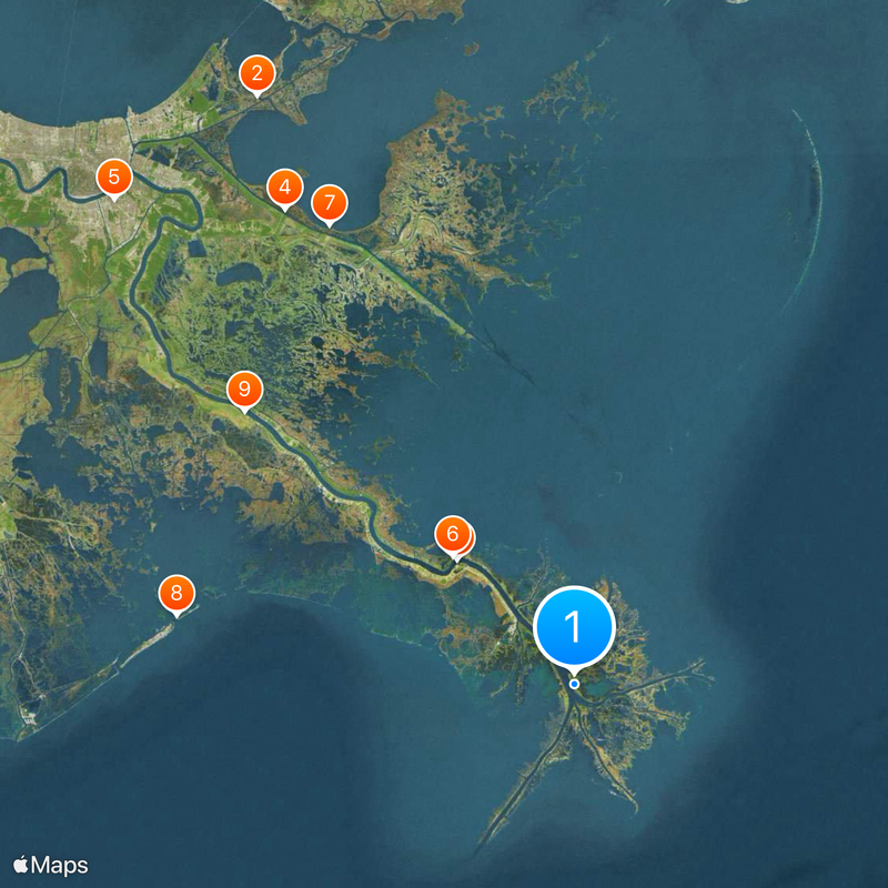
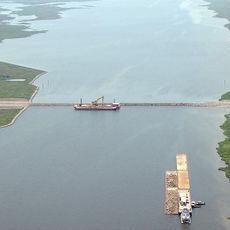
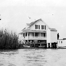
The Mississippi River Delta stretches across three million acres from Vermilion Bay to the Chandeleur Islands, forming a vast wetland along the Gulf of Mexico coast. The region consists of branching waterways, swamps and shallow lagoons that spread across southern Louisiana.
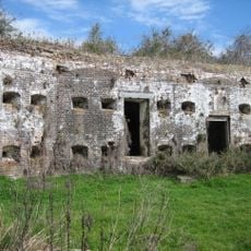
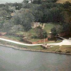
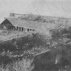
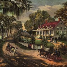
European settlement began in the early 18th century when French colonists built levees and canals to control the landscape. After the United States purchased Louisiana from France in 1803, agricultural expansion accelerated through extensive water engineering.
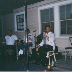
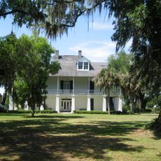
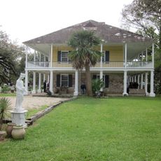
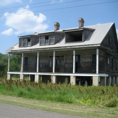
The name comes from an Algonquin word meaning great river and now describes a region where Cajun French is still spoken alongside English. Many communities here still make their living from fishing and maintain music traditions rooted in accordion-based dance tunes.
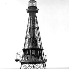
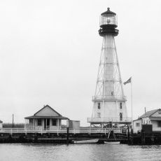
Visiting is best done by boat or along the few roads that reach into the region, with guided swamp tours offering direct access. Weather is hot and humid in summer, while fall brings milder conditions for exploring.
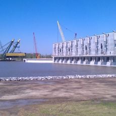
The system drains more than two fifths of the continental United States and carries sediment into the Gulf that builds up new landforms. Each day the region loses about the size of a football field to coastal erosion, prompting restoration projects to stabilize it.
The community of curious travelers
AroundUs brings together thousands of curated places, local tips, and hidden gems, enriched daily by 60,000 contributors worldwide.