Lima District

Log in to your account

AroundUs is a community-driven map of interesting places, built by curious explorers like you. It grows with every review, story, and photo you share.
Connect to save your favorite spots, contribute locations, and create personalized routes.
By continuing, you accept our Terms and Conditions and our Privacy Policy
Add to collection
Map
Suggest a change
Share

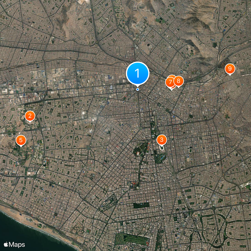
Lima District, Administrative district in central Lima, Peru.

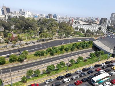
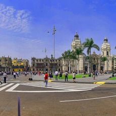
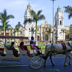
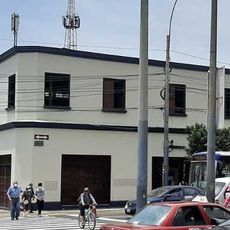
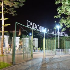
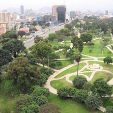
Lima District is an administrative area in central Lima containing a mix of colonial structures, modern buildings, and residential neighborhoods spread across a flat terrain near the coast. Main avenues like Tacna and Abancay run through the area, while Jirón de la Unión serves as a busy shopping street with stores and services.

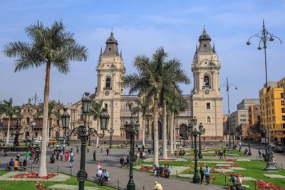
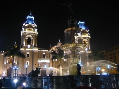
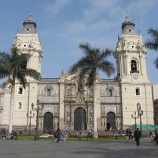
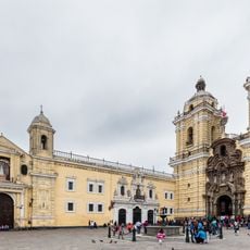
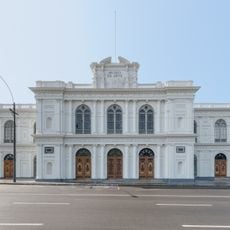
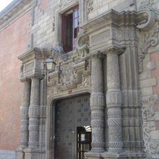
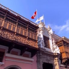
This area was established in 1823 as the first administrative district of Lima Province and grew into the city's main government and commercial center. Its colonial buildings and urban design earned UNESCO World Heritage status in 1988.

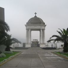
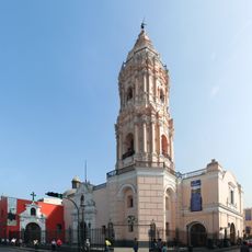
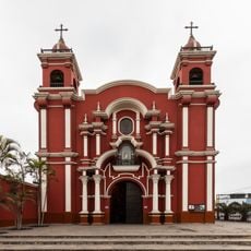
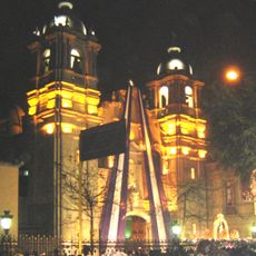
Spanish, indigenous, and Asian communities have shaped the district's character over time, visible in its streets and buildings. The Chinese quarter and numerous religious structures show how different groups lived side by side and influenced the local culture.

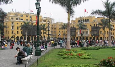
The area is easy to navigate on foot with flat terrain and well-marked streets. Shops and restaurants line the main streets and plazas, making it convenient to explore and spend time during the day.

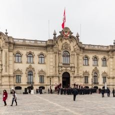
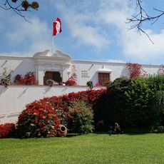
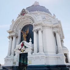
The area houses the Government Palace, where the President conducts official state business and makes important national decisions. This makes it the only place in Peru where the country's highest executive authority is permanently based.

Location: Lima

Capital city: Lima

Elevation above the sea: 2.87 m

Shares border with: Carmen de la Legua Reynoso, Bellavista, Callao, El Agustino District, San Luis, La Victoria, Lince, Jesús María, Breña District, Pueblo Libre, San Miguel, San Martín de Porres District, Rímac, San Juan de Lurigancho

Address: Lima, Peru

Website: http://munlima.gob.pe

GPS coordinates: -12.05506,-77.04512

Latest update: December 14, 2025 17:37

Photos
Reviews

Visited this place? Tap the stars to rate it and share your experience / photos with the community! Try now! You can cancel it anytime.

« Lima District - Administrative district in central Lima, Peru » is provided by Around Us (aroundus.com). Images and texts are derived from Wikimedia project under a Creative Commons license. You are allowed to copy, distribute, and modify copies of this page, under the conditions set by the license, as long as this note is clearly visible.

Discover hidden gems everywhere you go!

From secret cafés to breathtaking viewpoints, skip the crowded tourist spots and find places that match your style. Our app makes it easy with voice search, smart filtering, route optimization, and insider tips from travelers worldwide. Download now for the complete mobile experience.

Around Us App Screenshot

A unique approach to discovering new places

Le Figaro

All the places worth exploring

France Info

A tailor-made excursion in just a few clicks

20 Minutes