Enable Location

We need your location to show you interesting places around you

Discover nearby places

Find interesting locations and hidden gems around you

Precise directions

Get accurate directions and distances to places

Your location is never shared with other users. It's only used when you tap the location button.

Liberty County

Log in to your account

Start exploring — it's free

Trusted by 63,686 travelers worldwide

Continue with Google
Continue with Apple
or

We will send you a code to connect

By continuing, you accept our Terms and Conditions and our Privacy Policy

Check your inbox

We've sent a pincode in your inbox. Please enter the code below.

Discussion Reviews 1 Photos
23.3k Popularity

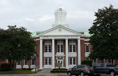
Liberty County, Administrative division in Georgia, United States.

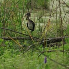
Liberty County is an administrative division in Georgia featuring both land and water areas with tidal waterways. The region includes Hinesville, the main town, along with surrounding communities and military installations.

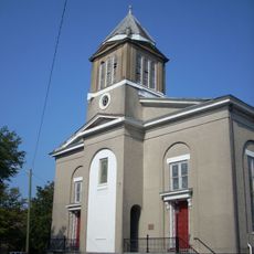
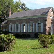
The Guale Indians first inhabited this area before European settlement arrived in 1752. Congregationalists from South Carolina then established the Midway District, which became foundational to early development.

The community reflects its identity through schools and military presence, which shape how people interact and organize local activities. Residents balance civilian and military connections in how they use public spaces and gather together.

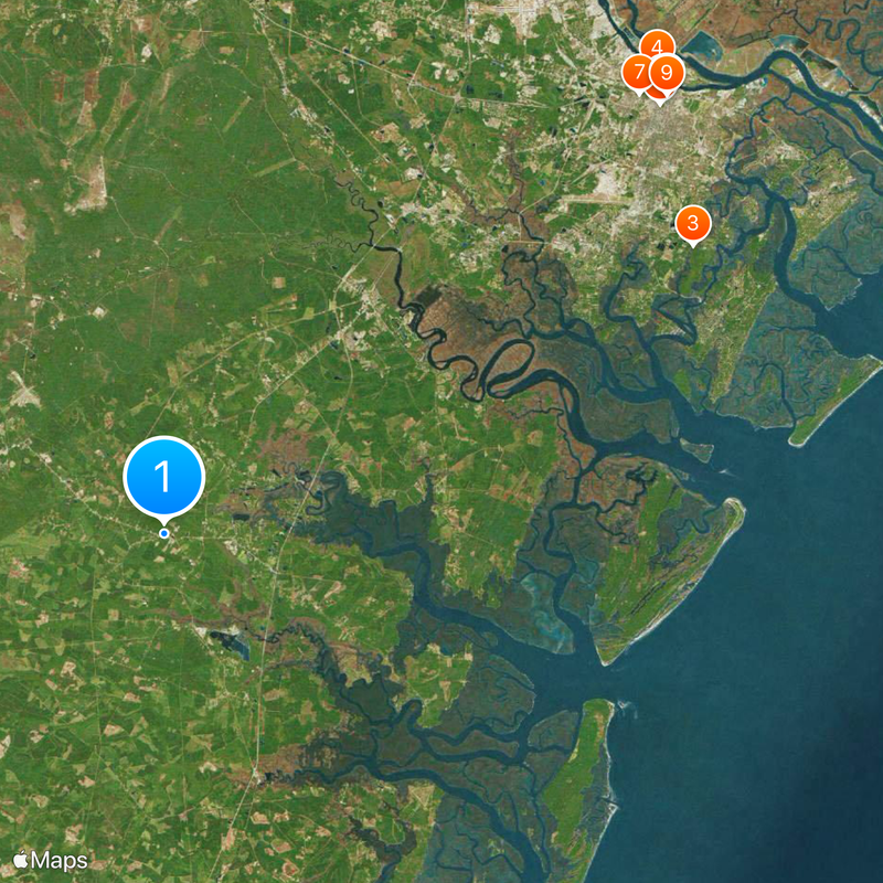
The area connects well through Interstate 95 and major highways, making travel between communities straightforward. Water features like tidal creeks mean some routes may vary depending on conditions and local knowledge.

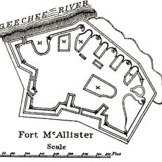
Fort Stewart, a major military base, has shaped daily life and the local economy in ways distinct from other Georgia counties. This military presence influences how communities develop and how residents navigate their surroundings.

The community of curious travelers

AroundUs brings together thousands of curated places, local tips, and hidden gems, enriched daily by 60,000 contributors worldwide.

Start exploring
Location
Inception
February 5, 1777
Capital city
Hinesville
Shares border with
Bryan County, McIntosh County, Long County, Tattnall County, Evans County
GPS coordinates
31.80000,-81.46000
Latest update
December 20, 2025 14:28
Around this place
Mercer House
United States of America

Mercer House

45.8 km
Wormsloe Historic Site
United States of America

Wormsloe Historic Site

41.8 km
Talmadge Memorial Bridge
United States of America

Talmadge Memorial Bridge

46.9 km
Sorrel–Weed House
United States of America

Sorrel–Weed House

46.1 km
Forsyth Park
United States of America

Forsyth Park

45.5 km
United States of America

Enmarket Arena

44.9 km
Savannah Historic District
United States of America

Savannah Historic District

46.3 km
Cathedral of St. John the Baptist
United States of America

Cathedral of St. John the Baptist

46.2 km
First African Baptist Church
United States of America

First African Baptist Church

46.5 km
St. Catherines Island
United States of America

St. Catherines Island

34.1 km
United States of America

Ossabaw Island

34.6 km
Owens-Thomas House
United States of America

Owens-Thomas House

46.7 km
United States of America

Savannah Civic Center

46.1 km
Candler Oak Tree
United States of America

Candler Oak Tree

45.5 km
Telfair Museums
United States of America

Telfair Museums

46.4 km
Savannah Victorian Historic District
United States of America

Savannah Victorian Historic District

45.2 km
Juliette Gordon Low Birthplace
United States of America

Juliette Gordon Low Birthplace

46.4 km
Skidaway Island State Park
United States of America

Skidaway Island State Park

41.9 km
Davenport House
United States of America

Davenport House

46.8 km
Harris Neck National Wildlife Refuge
United States of America

Harris Neck National Wildlife Refuge

26.1 km
River Street
United States of America

River Street

46.6 km
Savannah Theatre
United States of America

Savannah Theatre

46.4 km
SCAD Museum of Art
United States of America

SCAD Museum of Art

46 km
Jepson Center & Telfair Children's Art Museum
United States of America

Jepson Center & Telfair Children's Art Museum

46.3 km
Bethesda Academy
United States of America

Bethesda Academy

38.8 km
Fort McAllister
United States of America

Fort McAllister

26.9 km
Ted Wright Stadium
United States of America

Ted Wright Stadium

44.8 km
James Oglethorpe Monument
United States of America

James Oglethorpe Monument

46.3 km
Show the full map
Reviews
Share your experience

No review yet

Discussions
Start a discussion...

No discussion yet

Administrative divisions
« Liberty County - Administrative division in Georgia, United States » is provided by Around Us (aroundus.com). Images and texts are derived from Wikimedia project under a Creative Commons license. You are allowed to copy, distribute, and modify copies of this page, under the conditions set by the license, as long as this note is clearly visible.

Discover hidden gems everywhere you go!

From secret cafés to breathtaking viewpoints, skip the crowded tourist spots and find places that match your style. Our app makes it easy with voice search, smart filtering, route optimization, and insider tips from travelers worldwide. Download now for the complete mobile experience.

Around Us App Screenshot

A unique approach to discovering new places

Le Figaro

All the places worth exploring

France Info

A tailor-made excursion in just a few clicks

20 Minutes

Around Us
Travel Guide & Maps
Download

Send to your phone

QR Code
1

Open the camera app on your mobile.

2

Point at the QR code with your camera. A notification will appear.

3

Tap the notification to open the link.