Chest opened
+${chestReward.xp} XP
Explorer
NOUVEAU ×${chestReward.collectible.quantity}
tapez pour fermer
Chest locked

Open chests in the app

Around Us is built for your phone — chests unlock when you walk, explore and capture nearby places.

Enable Location

We need your location to show you interesting places around you

Discover nearby places

Find interesting locations and hidden gems around you

Precise directions

Get accurate directions and distances to places

Your location is never shared with other users. It's only used when you tap the location button.

Log in to your account

Start exploring — it's free

Trusted by 72,880 travelers worldwide

Continue with Google
Continue with Apple
or

We will send you a code to connect

By continuing, you accept our Terms and Conditions and our Privacy Policy

Check your inbox

We've sent a pincode in your inbox. Please enter the code below.

Discussion Reviews Photo
8.8k Popularity

Carmel Valley, Rural valley and community in Monterey County, United States

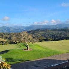
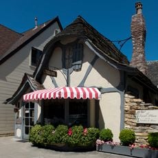
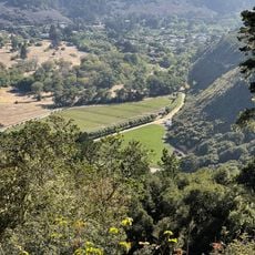
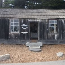
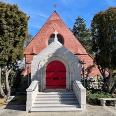
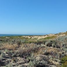
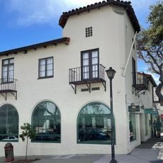
Carmel Valley is a rural, unincorporated community and valley in Monterey County, California, running along the course of the Carmel River. The landscape shifts between oak woodlands, riparian forest, open grassland, and chaparral as you move inland from the coast.

Spanish explorer Sebastián Vizcaíno reached the area in 1602 and gave the river its name. Mexican land grants followed in 1839, when Rancho Los Laureles was established, marking the beginning of formal European settlement in the valley.

Carmel Valley Road is lined with small wineries that welcome visitors for tastings in a relaxed, rural setting. The valley has developed a wine culture over recent decades, and locals treat the road as a kind of informal wine trail.

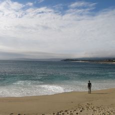
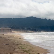
The valley is accessible via Carmel Valley Road, which runs inland from the coast near Carmel-by-the-Sea. A car is essential to get around, and it helps to stock up on supplies before heading deeper into the valley, where services become sparse.

The Jamesburg Earth Station, sitting in a remote part of the valley, was one of the relay points that broadcast the Apollo 11 moon landing to much of the world in 1969. The dish is still standing today and visible from nearby roads.

The community of curious travelers

AroundUs brings together thousands of curated places, local tips, and hidden gems, enriched daily by 60,000 contributors worldwide.

Start exploring
Location
GPS coordinates
36.47483,-121.72051
Latest update
March 3, 2026 08:19
Around this place
Bixby Creek Bridge
United States of America

Bixby Creek Bridge

19.9 km
WeatherTech Raceway Laguna Seca
United States of America

WeatherTech Raceway Laguna Seca

12.6 km
Mission San Carlos Borromeo de Carmelo
United States of America

Mission San Carlos Borromeo de Carmelo

19.3 km
Tassajara Zen Mountain Center
United States of America

Tassajara Zen Mountain Center

16.5 km
Garrapata State Park
United States of America

Garrapata State Park

17 km
Tehàma Golf Club
United States of America

Tehàma Golf Club

14.1 km
Carmel River State Beach
United States of America

Carmel River State Beach

19.5 km
Rocky Creek Bridge
United States of America

Rocky Creek Bridge

19.4 km
Monterey State Beach
United States of America

Monterey State Beach

20.1 km
United States of America

Sunset Center

19.9 km
Hyatt Regency Monterey Hotel and Spa on Del Monte Golf Course
United States of America

Hyatt Regency Monterey Hotel and Spa on Del Monte Golf Course

19.1 km
San Clemente Dam
United States of America

San Clemente Dam

4.5 km
Carmel River State Beach
United States of America

Carmel River State Beach

19.8 km
United States of America

Palo Corona Ranch

17.9 km
Carmel Art Association
United States of America

Carmel Art Association

20.1 km
Enchanted Oaks Building
United States of America

Enchanted Oaks Building

20.1 km
Tuck Box
United States of America

Tuck Box

20.1 km
Outlands in the Eighty Acres
United States of America

Outlands in the Eighty Acres

19.4 km
Rancho Las Palmas
United States of America

Rancho Las Palmas

16.9 km
Palo Corona Regional Park
United States of America

Palo Corona Regional Park

17.7 km
Whalers Cabin
United States of America

Whalers Cabin

19.7 km
St. John's Chapel
United States of America

St. John's Chapel

18.9 km
Monterey State Beach
United States of America

Monterey State Beach

19.5 km
Doud Building
United States of America

Doud Building

20 km
Goold Building
United States of America

Goold Building

20.1 km
Adam Fox Building
United States of America

Adam Fox Building

20 km
Monastery Beach
United States of America

Monastery Beach

19.3 km
Monterey Zoo
United States of America

Monterey Zoo

15.8 km
Show the full map
Reviews
Share your experience

No review yet

Discussions
Start a discussion...

No discussion yet

« Carmel Valley - Rural valley and community in Monterey County, United States » is provided by Around Us (aroundus.com). Images and texts are derived from Wikimedia project under a Creative Commons license. You are allowed to copy, distribute, and modify copies of this page, under the conditions set by the license, as long as this note is clearly visible.

Discover hidden gems everywhere you go!

From secret cafés to breathtaking viewpoints, skip the crowded tourist spots and find places that match your style. Our app makes it easy with voice search, smart filtering, route optimization, and insider tips from travelers worldwide. Download now for the complete mobile experience.

Around Us App Screenshot

A unique approach to discovering new places

Le Figaro

All the places worth exploring

France Info

A tailor-made excursion in just a few clicks

20 Minutes

Around Us
Travel Guide & Maps
Download

Send to your phone

QR Code
1

Open the camera app on your mobile.

2

Point at the QR code with your camera. A notification will appear.

3

Tap the notification to open the link.