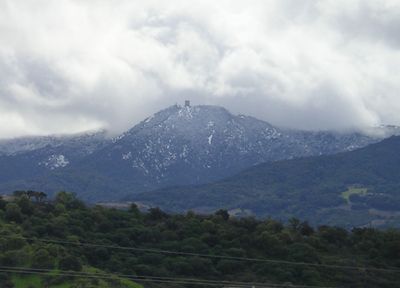
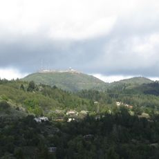
Mount Umunhum, Summit and mountain in Santa Clara County, California, United States.
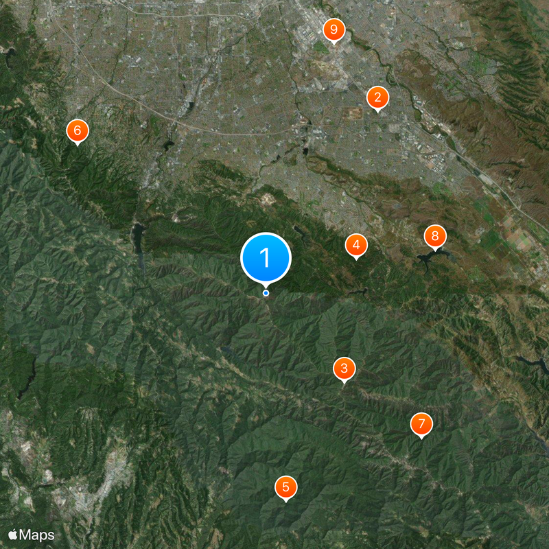
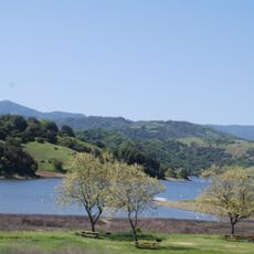
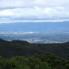
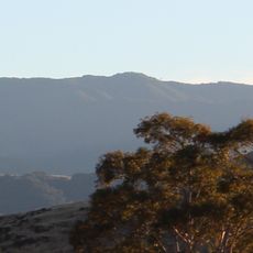
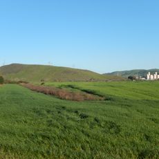
Mount Umunhum rises to about 3,489 feet (1,065 meters) in the Santa Cruz Mountains with views across Silicon Valley and the San Francisco Bay Area. Access is possible via a 45-minute drive from San Jose or by hiking the 4.5-mile Mount Umunhum Trail through Sierra Azul Open Space Preserve.
The United States Air Force operated a Cold War radar station at the summit from 1962 until 1980, marked by a distinctive concrete tower. This military installation was part of the nation's air defense system during superpower tensions.
The Ohlone people named this peak Umunhum, meaning Resting Place of the Hummingbird in their language. The name reflects how indigenous residents understood the land as a place of natural significance and rest.
The mountain is accessible year-round, with spring and fall offering the best hiking conditions. Bring water and sun protection, as portions of the trail have limited shade and visibility can extend far across the landscape.
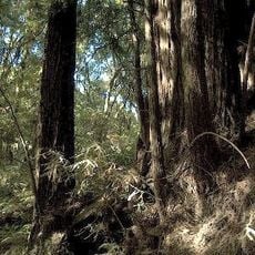
The peak contains one of the most visible exposures of Coast Range Ophiolite, composed of ancient oceanic crust and mantle materials from the Jurassic period. This geological feature attracts rock enthusiasts and reveals details about the region's ancient ocean floor history.
The community of curious travelers
AroundUs brings together thousands of curated places, local tips, and hidden gems, enriched daily by 60,000 contributors worldwide.