Enable Location

We need your location to show you interesting places around you

Discover nearby places

Find interesting locations and hidden gems around you

Precise directions

Get accurate directions and distances to places

Your location is never shared with other users. It's only used when you tap the location button.

New Almaden

Log in to your account

Start exploring — it's free

Trusted by 61,344 travelers worldwide

Continue with Google
Continue with Apple
or

We will send you a code to connect

By continuing, you accept our Terms and Conditions and our Privacy Policy

Check your inbox

We've sent a pincode in your inbox. Please enter the code below.

New Almaden, Mercury mining heritage site in San Jose, California, US

Description

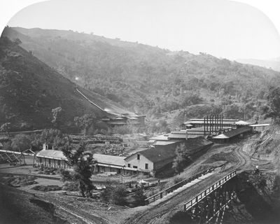
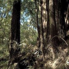
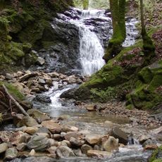
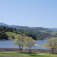
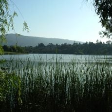
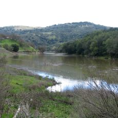
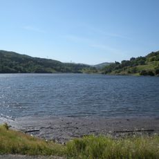
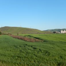
New Almaden is a former mining settlement in San Jose that spans over 4,000 acres with preserved mining structures, residential buildings, and the Casa Grande mansion. The area follows Alamitos Creek and displays the physical layout of how miners once lived and worked in this region.

History

Founded in 1845, this site operated as California's first and largest mercury mine, producing materials needed for gold processing during the Gold Rush era. The mining operation shaped the region's economy for many decades.

Culture

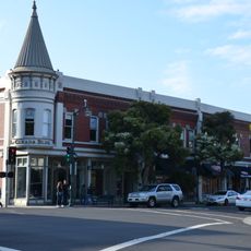
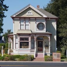
The settlement drew workers from Mexico, Cornwall, and China, each group establishing their own neighborhoods with distinct building styles and customs that remain visible today. Walking through the area, you notice how these different communities left their mark on the local architecture and way of life.

Practical

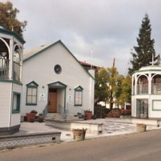
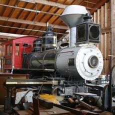
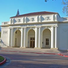
The New Almaden Quicksilver Mining Museum is housed in Casa Grande and displays mining artifacts along with guided tours of the historic site. Plan your visit for quieter weekdays when you can move around more freely and see the buildings without crowding.

Did you know?

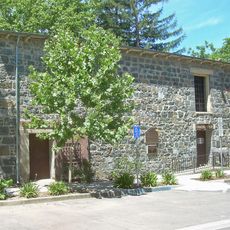
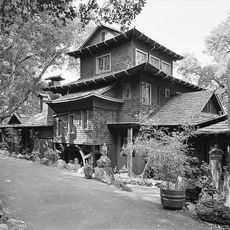
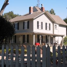
The Carson-Perham Adobe, built between 1848 and 1850, ranks among the oldest existing structures constructed by Mexican miners in the region. This adobe building offers a glimpse into the construction methods and living conditions of early mining residents.

Location
GPS coordinates
37.18000,-121.83556
Latest update
December 7, 2025 19:24

AroundUs brings together thousands of curated places, local tips, and hidden gems, enriched daily by 60,000 contributors worldwide. Discover all places nearby (California).

Around this place
Los Gatos
United States of America

Los Gatos

12.8 km
Mount Umunhum
United States of America

Mount Umunhum

6 km
Hayes Mansion
United States of America

Hayes Mansion

9.3 km
Loma Prieta
United States of America

Loma Prieta

7.7 km
The Forest of Nisene Marks State Park
United States of America

The Forest of Nisene Marks State Park

15.7 km
Uvas Canyon County Park
United States of America

Uvas Canyon County Park

11.8 km
Calero Reservoir
United States of America

Calero Reservoir

4.9 km
Santa Clara County Fairgrounds
United States of America

Santa Clara County Fairgrounds

13.4 km
Portuguese Historical Museum
United States of America

Portuguese Historical Museum

15.7 km
Vasona Lake County Park
United States of America

Vasona Lake County Park

13.6 km
Forbes Mill
United States of America

Forbes Mill

13.7 km
Almaden Reservoir
United States of America

Almaden Reservoir

1.8 km
Ainsley House
United States of America

Ainsley House

15.4 km
California Trolley and Railroad Corporation
United States of America

California Trolley and Railroad Corporation

15.6 km
Guadalupe Reservoir
United States of America

Guadalupe Reservoir

4.2 km
New Museum Los Gatos
United States of America

New Museum Los Gatos

13.5 km
Mount Thayer
United States of America

Mount Thayer

7.7 km
Chesbro Reservoir
United States of America

Chesbro Reservoir

12.8 km
Los Gatos Creek Park
United States of America

Los Gatos Creek Park

14.3 km
Yung See San Fong House
United States of America

Yung See San Fong House

11.6 km
Golfland USA
United States of America

Golfland USA

8.3 km
Campbell Union Grammar School
United States of America

Campbell Union Grammar School

15.6 km
Tulare Hill
United States of America

Tulare Hill

8.5 km
Galindo-Leigh House
United States of America

Galindo-Leigh House

14 km
McCullagh-Jones House
United States of America

McCullagh-Jones House

14.9 km
Capt. James A. Hamilton House
United States of America

Capt. James A. Hamilton House

14.1 km
Martin Murphy Middle School
United States of America

Martin Murphy Middle School

7.9 km
Xander's Crossing
United States of America

Xander's Crossing

8.9 km
Show the full map
« New Almaden - Mercury mining heritage site in San Jose, California, US » is provided by Around Us (aroundus.com). Images and texts are derived from Wikimedia project under a Creative Commons license. You are allowed to copy, distribute, and modify copies of this page, under the conditions set by the license, as long as this note is clearly visible.

Discover hidden gems everywhere you go!

From secret cafés to breathtaking viewpoints, skip the crowded tourist spots and find places that match your style. Our app makes it easy with voice search, smart filtering, route optimization, and insider tips from travelers worldwide. Download now for the complete mobile experience.

Around Us App Screenshot

A unique approach to discovering new places

Le Figaro

All the places worth exploring

France Info

A tailor-made excursion in just a few clicks

20 Minutes

Around Us
Travel Guide & Maps
Download

Send to your phone

QR Code
1

Open the camera app on your mobile.

2

Point at the QR code with your camera. A notification will appear.

3

Tap the notification to open the link.