Shasta-Trinity National Forest, National Forest in Northern California, United States.
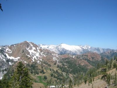
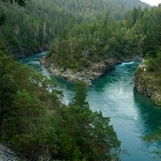
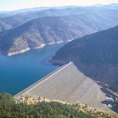
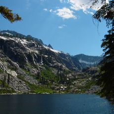
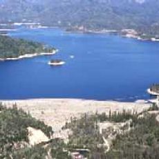
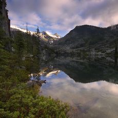
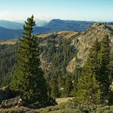
Shasta-Trinity National Forest covers over 2 million acres across Northern California with diverse terrain that includes thick woodlands, volcanic peaks, and numerous mountain lakes. The landscape changes dramatically as you move through different elevations and regions within the forest.
The United States Forest Service created Shasta-Trinity National Forest in 1954 by combining several previously separate forest areas into one managed region. This merger brought multiple forest protection efforts under unified management.
Indigenous peoples including the Wintu, Modoc, and Pit River communities maintain deep roots here through practices passed down for many generations. Their presence shapes how visitors and locals understand the land today.
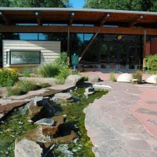
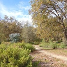
The forest has over 460 miles of hiking trails and about 50 developed campgrounds spread throughout the area, plus several visitor centers that provide maps and information. It helps to check conditions before you arrive and stop at a visitor center when you enter to get oriented.
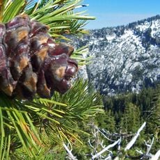
Mount Shasta rises about 14,179 feet and dominates the landscape as one of the tallest peaks visible throughout the forest region. This snow-capped volcanic mountain can be seen from many locations within the forest and serves as a landmark for visitors.
The community of curious travelers
AroundUs brings together thousands of curated places, local tips, and hidden gems, enriched daily by 60,000 contributors worldwide.