Chest opened
+${chestReward.xp} XP
Explorer
NOUVEAU ×${chestReward.collectible.quantity}
tapez pour fermer
Chest locked

Open chests in the app

Around Us is built for your phone — chests unlock when you walk, explore and capture nearby places.

Enable Location

We need your location to show you interesting places around you

Discover nearby places

Find interesting locations and hidden gems around you

Precise directions

Get accurate directions and distances to places

Your location is never shared with other users. It's only used when you tap the location button.

Pelican Bay State Prison

Log in to your account

Start exploring — it's free

Trusted by 72,878 travelers worldwide

Continue with Google
Continue with Apple
or

We will send you a code to connect

By continuing, you accept our Terms and Conditions and our Privacy Policy

Check your inbox

We've sent a pincode in your inbox. Please enter the code below.

Pelican Bay State Prison
Discussion Reviews 1 Photos
204k Popularity

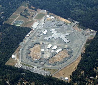
Pelican Bay State Prison, Supermax prison in Del Norte County, United States.

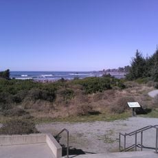
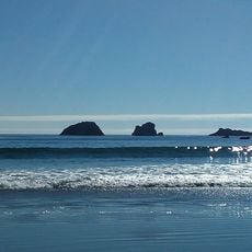
Pelican Bay is a high-security correctional facility in northern California that houses inmates under different custody levels. The complex sits in a remote location near the coast, roughly six miles (10 km) south of Crescent City.

The facility opened in late 1989 as part of a statewide expansion to accommodate inmates requiring heightened security measures. It was built during a period when California was rapidly adding capacity to its correctional system.

The facility provides educational programs, including adult basic education, literacy training, and college courses through distance learning partnerships.

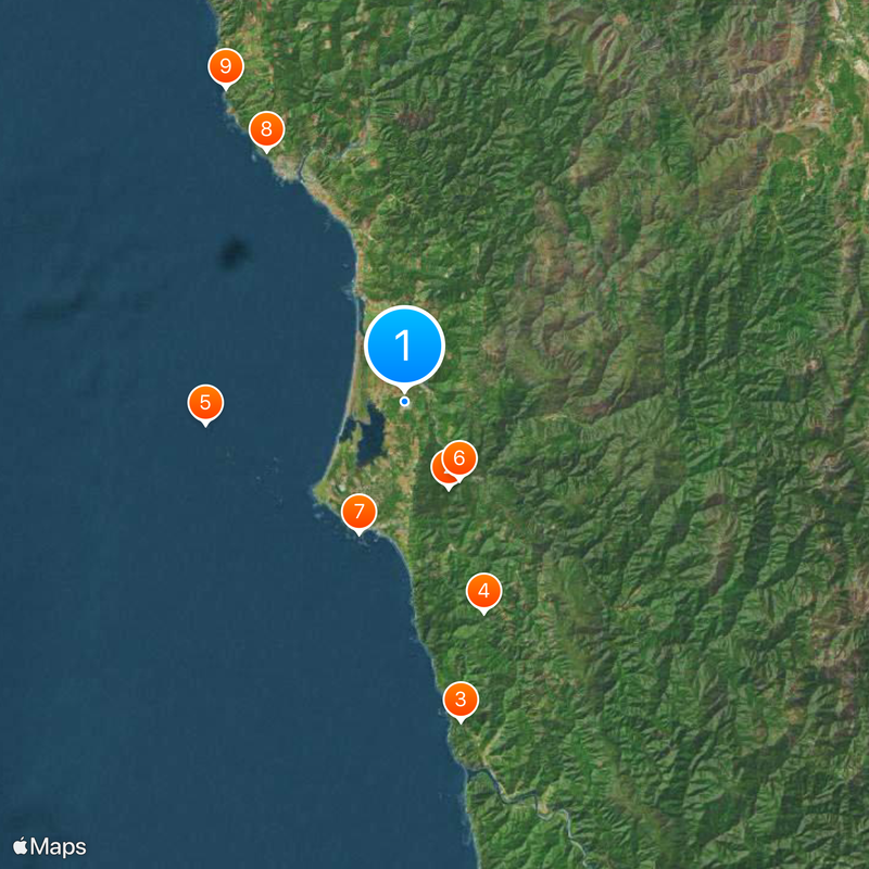
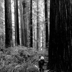
The grounds are not open to the public, and visits require advance scheduling and approval through official channels. The location is remote, set in a forested area near the Pacific shoreline away from major towns.

The site was among the first in the country to incorporate a dedicated unit for long-term solitary confinement in individual cells. This section later became the subject of legal debates over conditions of custody.

The community of curious travelers

AroundUs brings together thousands of curated places, local tips, and hidden gems, enriched daily by 60,000 contributors worldwide.

Start exploring
Location
Inception
1989
Official opening
1989
GPS coordinates
41.85500,-124.15000
Latest update
December 12, 2025 20:27
Around this place
Jedediah Smith Redwoods State Park
United States of America

Jedediah Smith Redwoods State Park

9.1 km
Trees of Mystery
United States of America

Trees of Mystery

30.6 km
Del Norte Coast Redwoods State Park
United States of America

Del Norte Coast Redwoods State Park

21.2 km
St. George Reef Light
United States of America

St. George Reef Light

18.9 km
Lost Monarch
United States of America

Lost Monarch

9 km
Battery Point Light
United States of America

Battery Point Light

13.1 km
Harris Beach State Park
United States of America

Harris Beach State Park

27 km
Samuel H. Boardman State Scenic Corridor
United States of America

Samuel H. Boardman State Scenic Corridor

34 km
Smith River National Recreation Area
United States of America

Smith River National Recreation Area

26.8 km
Castle Rock National Wildlife Refuge
United States of America

Castle Rock National Wildlife Refuge

13.3 km
Pelican State Beach
United States of America

Pelican State Beach

16.1 km
Tolowa Dunes State Park
United States of America

Tolowa Dunes State Park

4.3 km
Alfred A. Loeb State Park
United States of America

Alfred A. Loeb State Park

28.9 km
Lone Ranch Beach
United States of America

Lone Ranch Beach

31.5 km
Camp Lincoln
United States of America

Camp Lincoln

4.1 km
Redwood Experimental Forest
United States of America

Redwood Experimental Forest

30.7 km
Gasquet Ranger Station Historic District
United States of America

Gasquet Ranger Station Historic District

15.3 km
Crissey Field State Recreation Site

Crissey Field State Recreation Site

17.1 km
Pebble Beach
United States of America

Pebble Beach

12.1 km
Sporthaven Beach
United States of America

Sporthaven Beach

22.7 km
Harris Sate Park Campground
United States of America

Harris Sate Park Campground

27.1 km
Whaleshead Beach
United States of America

Whaleshead Beach

35.6 km
Kellogg Road Beach
United States of America

Kellogg Road Beach

5.4 km
Brotherhood Tree
United States of America

Brotherhood Tree

30.5 km
Crescent Beach
United States of America

Crescent Beach

14.3 km
Harris Beach
United States of America

Harris Beach

26.6 km
Wilson Creek Beach
United States of America

Wilson Creek Beach

28.5 km
Douglas Memorial Bridge
United States of America

Douglas Memorial Bridge

37.9 km
Show the full map
Reviews
Share your experience

No review yet

Discussions
Start a discussion...

No discussion yet

« Pelican Bay State Prison - Supermax prison in Del Norte County, United States » is provided by Around Us (aroundus.com). Images and texts are derived from Wikimedia project under a Creative Commons license. You are allowed to copy, distribute, and modify copies of this page, under the conditions set by the license, as long as this note is clearly visible.

Discover hidden gems everywhere you go!

From secret cafés to breathtaking viewpoints, skip the crowded tourist spots and find places that match your style. Our app makes it easy with voice search, smart filtering, route optimization, and insider tips from travelers worldwide. Download now for the complete mobile experience.

Around Us App Screenshot

A unique approach to discovering new places

Le Figaro

All the places worth exploring

France Info

A tailor-made excursion in just a few clicks

20 Minutes

Around Us
Travel Guide & Maps
Download

Send to your phone

QR Code
1

Open the camera app on your mobile.

2

Point at the QR code with your camera. A notification will appear.

3

Tap the notification to open the link.