Chest opened
+${chestReward.xp} XP
Explorer
NOUVEAU ×${chestReward.collectible.quantity}
tapez pour fermer
Chest locked

Open chests in the app

Around Us is built for your phone — chests unlock when you walk, explore and capture nearby places.

Enable Location

We need your location to show you interesting places around you

Discover nearby places

Find interesting locations and hidden gems around you

Precise directions

Get accurate directions and distances to places

Your location is never shared with other users. It's only used when you tap the location button.

Log in to your account

Start exploring — it's free

Trusted by 72,883 travelers worldwide

Continue with Google
Continue with Apple
or

We will send you a code to connect

By continuing, you accept our Terms and Conditions and our Privacy Policy

Check your inbox

We've sent a pincode in your inbox. Please enter the code below.

Southern Oregon
Discussion Reviews Photo
16k Popularity

Southern Oregon, Geographic region in Oregon, United States.

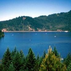
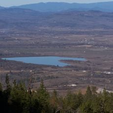
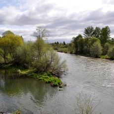
Southern Oregon spans four counties with mountains, valleys, and dense forests extending from Lane County southward to the California border. The region is crossed by major mountain chains and contains both steep terrain and open valley floors.

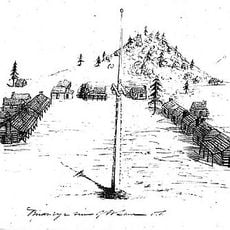
Massive floods shaped this region around 15,000 years ago, carving deep valleys and leaving behind rich soils. These geological events formed the foundation for settlement and agriculture that followed.

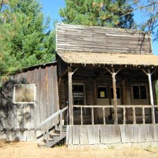
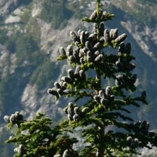
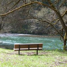
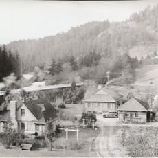
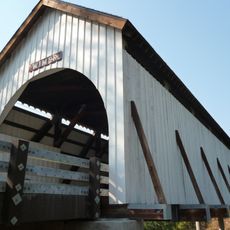
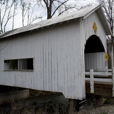
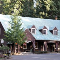
Local communities have built their identity around logging, farming, and outdoor pursuits that shape daily routines in the valleys and foothills. You can see this heritage reflected in how people use the land and in the working landscapes that surround the towns.

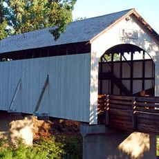
The region is served by major highway corridors that connect the larger towns and enable easy travel through the area. Visitors should note that the terrain varies and roads pass through both rural and developed sections.

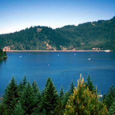
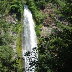
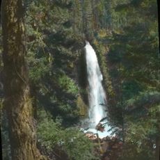
This area contains one of North America's deepest river gorges, a dramatic formation that draws hikers and nature enthusiasts. The region also holds a recognized wine district where specific soil and climate conditions make grape growing distinctive.

The community of curious travelers

AroundUs brings together thousands of curated places, local tips, and hidden gems, enriched daily by 60,000 contributors worldwide.

Start exploring
Location
GPS coordinates
42.80000,-122.90000
Latest update
March 5, 2026 18:16
Around this place
Oregon Vortex
United States of America

Oregon Vortex

37.4 km
Lost Creek Lake
United States of America

Lost Creek Lake

23.9 km
Golden
United States of America

Golden

37.5 km
Wolf Creek Inn
United States of America

Wolf Creek Inn

42.2 km
Prospect State Scenic Viewpoint
United States of America

Prospect State Scenic Viewpoint

33.8 km
Joseph H. Stewart State Recreation Area
United States of America

Joseph H. Stewart State Recreation Area

26.3 km
Agate Lake
United States of America

Agate Lake

44.6 km
Rogue–Umpqua Divide Wilderness
United States of America

Rogue–Umpqua Divide Wilderness

46.4 km
TouVelle State Recreation Site
United States of America

TouVelle State Recreation Site

39.8 km
Casey State Recreation Site
United States of America

Casey State Recreation Site

22.9 km
Mill Creek Falls
United States of America

Mill Creek Falls

33.7 km
Jackson County Fairground
United States of America

Jackson County Fairground

46.1 km
Antelope Creek Bridge
United States of America

Antelope Creek Bridge

37.4 km
Rogue Valley Family Fun Center
United States of America

Rogue Valley Family Fun Center

46.7 km
Tiller Ranger Station
United States of America

Tiller Ranger Station

14.7 km
Grave Creek Bridge
United States of America

Grave Creek Bridge

43.1 km
Conro Fiero House
United States of America

Conro Fiero House

46.4 km
Chavner Family House
United States of America

Chavner Family House

42.6 km
Milo Academy Bridge
United States of America

Milo Academy Bridge

18.8 km
Fort Lane
United States of America

Fort Lane

42 km
Horse Creek Bridge
United States of America

Horse Creek Bridge

40.4 km
Wimer Bridge
United States of America

Wimer Bridge

35.6 km
Neal Lane Bridge
United States of America

Neal Lane Bridge

38.9 km
Union Creek Historic District
United States of America

Union Creek Historic District

38.9 km
Canyonville United Methodist Church
United States of America

Canyonville United Methodist Church

34.1 km
Hershberger Mountain Lookout
United States of America

Hershberger Mountain Lookout

44.7 km
Whaleback Snow-Survey Cabin
United States of America

Whaleback Snow-Survey Cabin

28.8 km
Camp White Station Hospital Administration Building
United States of America

Camp White Station Hospital Administration Building

40.3 km
Show the full map
Reviews
Share your experience

No review yet

Discussions
Start a discussion...

No discussion yet

« Southern Oregon - Geographic region in Oregon, United States » is provided by Around Us (aroundus.com). Images and texts are derived from Wikimedia project under a Creative Commons license. You are allowed to copy, distribute, and modify copies of this page, under the conditions set by the license, as long as this note is clearly visible.

Discover hidden gems everywhere you go!

From secret cafés to breathtaking viewpoints, skip the crowded tourist spots and find places that match your style. Our app makes it easy with voice search, smart filtering, route optimization, and insider tips from travelers worldwide. Download now for the complete mobile experience.

Around Us App Screenshot

A unique approach to discovering new places

Le Figaro

All the places worth exploring

France Info

A tailor-made excursion in just a few clicks

20 Minutes

Around Us
Travel Guide & Maps
Download

Send to your phone

QR Code
1

Open the camera app on your mobile.

2

Point at the QR code with your camera. A notification will appear.

3

Tap the notification to open the link.