
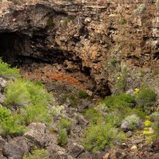
Barnes Rim, cliff in Lake County, Oregon, United States of America
Lava Beds National Monument
76.1 km
Paisley Caves
69.5 km
Captain Jack's Stronghold
68.4 km
Summer Lake Hot Springs
63.5 km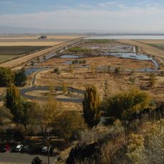
Tule Lake National Wildlife Refuge
66 km
Clear Lake National Wildlife Refuge
41.8 km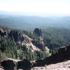
Gearhart Mountain Wilderness
38.2 km
Abert Rim
54.3 km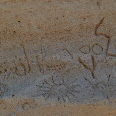
Petroglyph Point Archaeological Site
59.2 km
Goose Lake State Recreation Area
45.9 km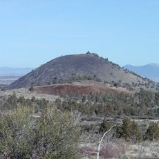
Schonchin Butte
75.6 km
Chandler State Wayside
51.3 km
Hunter's Hot Springs
38 km
Klamath Basin National Wildlife Refuge Complex
66 km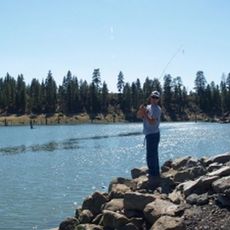
Gerber Reservoir
23.1 km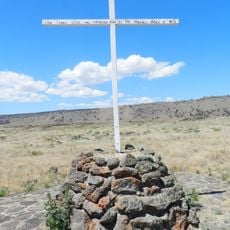
Canby's Cross
71.2 km
Booth State Scenic Corridor
20.1 km
Goose Lake meteorite
31.6 km
Deep Creek Falls
72.2 km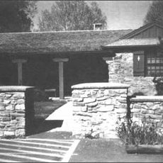
Bly Ranger Station
31.4 km
Lake County Round Sale Barn
38.4 km
John N. and Cornelia Watson House
39.4 km
William P. Heryford House
39.6 km
Tule Lake National Monument
55.2 km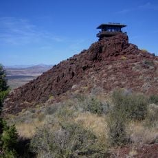
Schonchin Butte Lookout
75.6 km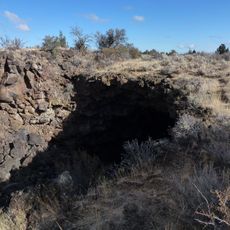
Skull Cave
74.9 km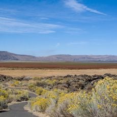
Hospital Rock Trail
65.2 km
Alger Theatre
39.5 kmReviews
Visited this place? Tap the stars to rate it and share your experience / photos with the community! Try now! You can cancel it anytime.
Discover hidden gems everywhere you go!
From secret cafés to breathtaking viewpoints, skip the crowded tourist spots and find places that match your style. Our app makes it easy with voice search, smart filtering, route optimization, and insider tips from travelers worldwide. Download now for the complete mobile experience.

A unique approach to discovering new places❞
— Le Figaro
All the places worth exploring❞
— France Info
A tailor-made excursion in just a few clicks❞
— 20 Minutes