Enable Location

We need your location to show you interesting places around you

Discover nearby places

Find interesting locations and hidden gems around you

Precise directions

Get accurate directions and distances to places

Your location is never shared with other users. It's only used when you tap the location button.

Mount Daniel

Log in to your account

Start exploring — it's free

Trusted by 66,660 travelers worldwide

Continue with Google
Continue with Apple
or

We will send you a code to connect

By continuing, you accept our Terms and Conditions and our Privacy Policy

Check your inbox

We've sent a pincode in your inbox. Please enter the code below.

Mount Daniel
Discussion Reviews 1 Photos
4.9k Popularity

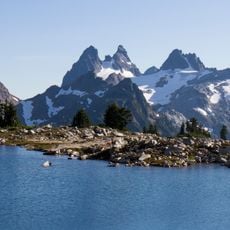
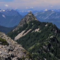
Mount Daniel, Mountain summit in Kittitas County, United States

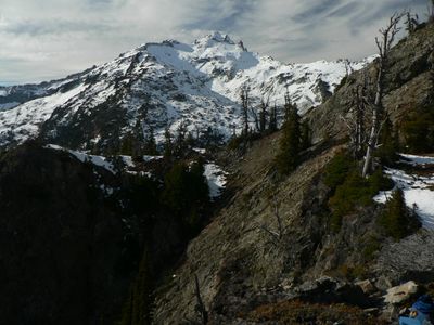
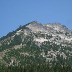
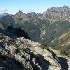
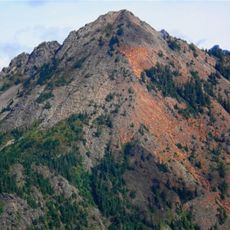
Mount Daniel is a glaciated mountain peak in the Cascade Range of Washington, lying entirely within the Alpine Lakes Wilderness. It has five separate summits arranged along a shared ridge, with the highest point sitting just above the treeline on the eastern side of the range.

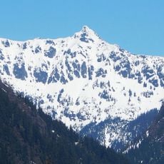
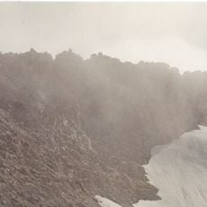
The first recorded ascent of Mount Daniel took place in 1925, when a group from The Mountaineers reached the top by crossing the Lynch Glacier. That route became the standard approach and helped establish the peak as a reference point for technical climbing in the Cascades.

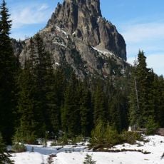
Mount Daniel sits within the Alpine Lakes Wilderness, a protected area where climbers come to experience one of the few remaining glaciated peaks in Washington. The Lynch Glacier crossing is a well-known test piece for those building technical mountaineering skills in the Cascades.

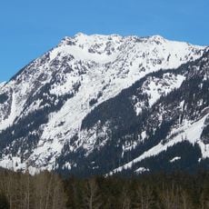
Reaching the top requires glacier travel experience and proper equipment, since the route crosses snow and ice for much of the way. Late summer generally offers the most stable conditions, though snow can remain on the upper sections well into the season.

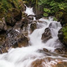
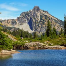
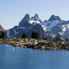
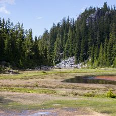
Mount Daniel is the highest point in the Middle Fork Snoqualmie River watershed, making it a notable water source for the lowlands to the west. Meltwater from the Lynch Glacier feeds streams that eventually drain into Puget Sound, connecting the high alpine zone to the coast.

The community of curious travelers

AroundUs brings together thousands of curated places, local tips, and hidden gems, enriched daily by 60,000 contributors worldwide.

Start exploring
Location
Location
Elevation above the sea
2,426 m
GPS coordinates
47.56505,-121.18095
Latest update
March 3, 2026 10:07
Reviews
Share your experience

No review yet

Discussions
Start a discussion...

No discussion yet

« Mount Daniel - Mountain summit in Kittitas County, United States » is provided by Around Us (aroundus.com). Images and texts are derived from Wikimedia project under a Creative Commons license. You are allowed to copy, distribute, and modify copies of this page, under the conditions set by the license, as long as this note is clearly visible.

Discover hidden gems everywhere you go!

From secret cafés to breathtaking viewpoints, skip the crowded tourist spots and find places that match your style. Our app makes it easy with voice search, smart filtering, route optimization, and insider tips from travelers worldwide. Download now for the complete mobile experience.

Around Us App Screenshot

A unique approach to discovering new places

Le Figaro

All the places worth exploring

France Info

A tailor-made excursion in just a few clicks

20 Minutes

Around Us
Travel Guide & Maps
Download

Send to your phone

QR Code
1

Open the camera app on your mobile.

2

Point at the QR code with your camera. A notification will appear.

3

Tap the notification to open the link.