
Yosemite National Park, National Park in Sierra Nevada Mountains, California
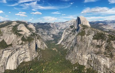
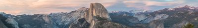
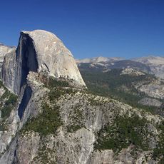
The protected area spans 1,200 square miles (3,100 square kilometers) encompassing granite cliffs, waterfalls, sequoia groves, and alpine meadows. The Merced River flows through the central valley while waterfalls including Yosemite Falls and Bridalveil Fall cascade down vertical rock faces. Rock formations such as El Capitan and Half Dome dominate the landscape, with glacial lakes situated in higher elevations of the Sierra Nevada range between 2,000 and 13,000 feet (600 to 4,000 meters) above sea level.
Congress signed the Yosemite Grant in 1864, placing the valley and Mariposa Grove under state protection for the first time. John Muir led campaigns in the 1880s that resulted in establishment as a national park in 1890. The Civilian Conservation Corps constructed roads and facilities during the Depression era, while the site gained UNESCO World Heritage designation in 1984, recognizing its geological formations with international protection status.
The Ahwahneechee people inhabited the valley for over 4,000 years, utilizing its resources for hunting, gathering, and spiritual ceremonies. Traditional Indigenous land management practices, including controlled burning, shaped the ecosystem long before European settlement. Today the park collaborates with descendants of original inhabitants to preserve and share their cultural heritage through educational programs and exhibits at the visitor center.
Entrance fees cost $35 per vehicle for a seven-day pass, with mandatory reservations required for summer weekends and holidays. From San Francisco, Route 120 reaches the park in approximately four hours, while the nearest airport sits in Fresno, 60 miles (100 kilometers) to the south. Shuttle service operates between May and September throughout the valley, and campground reservations open up to five months in advance for peak season availability.
Half Dome rises 4,737 feet (1,444 meters) from the valley floor, drawing thousands of hikers annually who reach the summit using a cable system. Geologists date the granite formation to 87 million years ago, with glaciers carving its characteristic half-round shape during the Ice Age. Permits for the ascent are distributed through a lottery system, as only 300 people per day may attempt the challenging route.
Location: Tuolumne County
Location: Mariposa County
Location: Madera County
Location: California
Inception: October 1, 1890
Operator: National Park Service
Phone: +16022788888
Website: https://nps.gov/yose
GPS coordinates: 37.74250,-119.53750
Latest update: November 27, 2025 19:24
Half Dome
540 m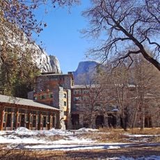
Ahwahnee Hotel
3.2 km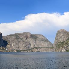
Hetch Hetchy
31.6 km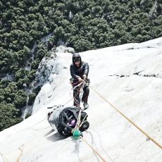
The Nose
8.9 km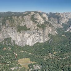
Yosemite Valley
9.8 km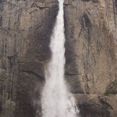
Yosemite Falls
5.3 km
Wawona Tree
25.8 km
Grizzly Giant
27.2 km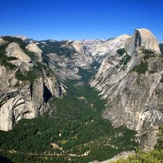
Glacier Point
3.4 km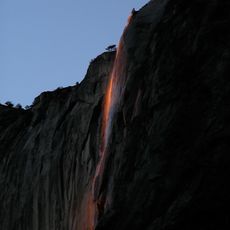
Horsetail Fall
8.1 km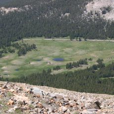
Tioga Pass
30.9 km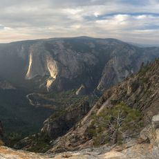
Taft Point
6.8 km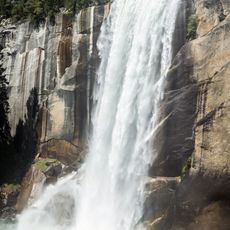
Vernal Fall
1.8 km
O'Shaughnessy Dam
31.7 km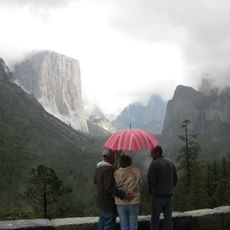
Tunnel View
12.6 km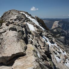
Clouds Rest
5.1 km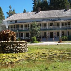
Wawona Hotel
25.1 km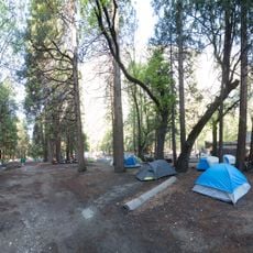
Camp 4
5.7 km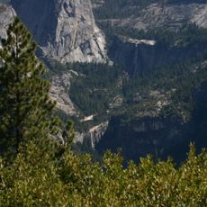
Nevada Fall
2 km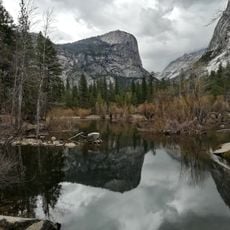
Mirror Lake
1.2 km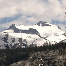
Mount Lyell
23.4 km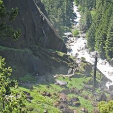
Mist Trail
1.8 km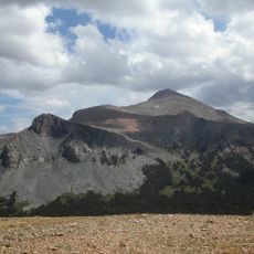
Mount Dana
32.9 km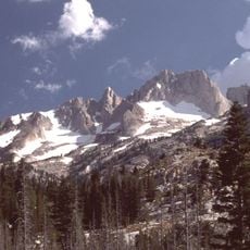
Matterhorn Peak
41.4 km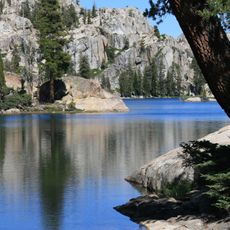
Emigrant Wilderness
46.9 km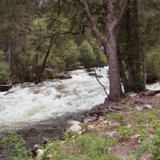
Happy Isles
2.2 km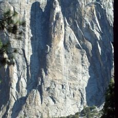
Lost Arrow Spire
5.1 km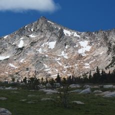
Vogelsang Peak
17 kmReviews
Visited this place? Tap the stars to rate it and share your experience / photos with the community! Try now! You can cancel it anytime.
Discover hidden gems everywhere you go!
From secret cafés to breathtaking viewpoints, skip the crowded tourist spots and find places that match your style. Our app makes it easy with voice search, smart filtering, route optimization, and insider tips from travelers worldwide. Download now for the complete mobile experience.

A unique approach to discovering new places❞
— Le Figaro
All the places worth exploring❞
— France Info
A tailor-made excursion in just a few clicks❞
— 20 Minutes