Chest opened
+${chestReward.xp} XP
Explorer
NOUVEAU ×${chestReward.collectible.quantity}
tapez pour fermer
Chest locked

Open chests in the app

Around Us is built for your phone — chests unlock when you walk, explore and capture nearby places.

Enable Location

We need your location to show you interesting places around you

Discover nearby places

Find interesting locations and hidden gems around you

Precise directions

Get accurate directions and distances to places

Your location is never shared with other users. It's only used when you tap the location button.

Sierra Army Depot

Log in to your account

Start exploring — it's free

Trusted by 72,878 travelers worldwide

Continue with Google
Continue with Apple
or

We will send you a code to connect

By continuing, you accept our Terms and Conditions and our Privacy Policy

Check your inbox

We've sent a pincode in your inbox. Please enter the code below.

Sierra Army Depot
Discussion Reviews 1 Photos
31.2k Popularity

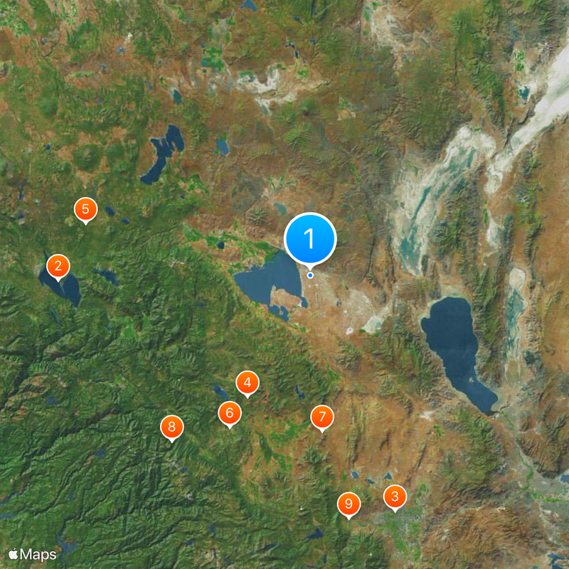
Sierra Army Depot, Military equipment storage facility in Herlong, California, US

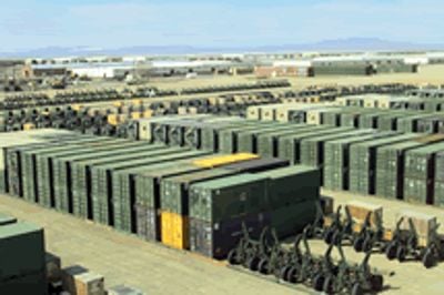
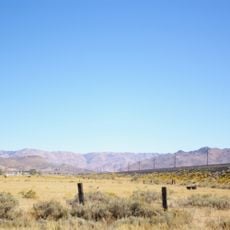
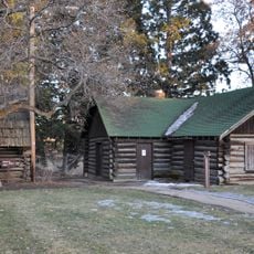
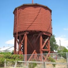
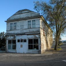
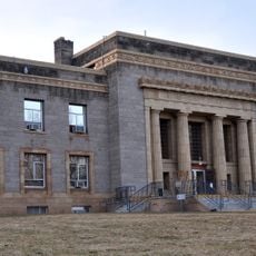
Sierra Army Depot is a military installation in the desert near the California-Nevada border, occupying approximately 36,000 acres of land. The facility contains more than 1,000 structures, including specialized ammunition magazines and storage buildings that have expanded over many decades.

The facility was established in 1942 during World War II as an ammunition storage site, positioned inland to protect against potential Japanese attacks. Over time it evolved into a center for managing and maintaining various types of military equipment.

The facility transformed from a basic storage depot into a specialized center that manages the preservation and distribution of military heritage equipment.

Access to the site is restricted and visitors must obtain authorization in advance. The depot operates a runway of approximately 10,000 feet for military aircraft operations.

The site has specialized detonation chambers designed for the safe destruction of explosives. These facilities play a critical role in the secure disposal of surplus ammunition supplies.

The community of curious travelers

AroundUs brings together thousands of curated places, local tips, and hidden gems, enriched daily by 60,000 contributors worldwide.

Start exploring
Location
Inception
1942
Elevation above the sea
1,220 m
GPS coordinates
40.26620,-120.15300
Latest update
December 20, 2025 01:32
Around this place
Lake Almanor
United States of America

Lake Almanor

85.6 km
Mackay Stadium
United States of America

Mackay Stadium

85 km
Plumas National Forest
United States of America

Plumas National Forest

46.4 km
Lassen National Forest
United States of America

Lassen National Forest

78.3 km
Western Pacific Railroad Museum
United States of America

Western Pacific Railroad Museum

58.4 km
Beckwourth Pass
United States of America

Beckwourth Pass

53 km
Plumas-Eureka State Park
United States of America

Plumas-Eureka State Park

73.4 km
1872 California-Nevada State Boundary Marker
United States of America

1872 California-Nevada State Boundary Marker

83.6 km
Crystal Peak
United States of America

Crystal Peak

79.1 km
Antelope Dam
United States of America

Antelope Dam

39.7 km
Reno Nevada Temple
United States of America

Reno Nevada Temple

84.3 km
Reno Air Defense Sector
United States of America

Reno Air Defense Sector

72.2 km
Anaho Island National Wildlife Refuge
United States of America

Anaho Island National Wildlife Refuge

64.7 km
Mackay School of Earth Sciences and Engineering
United States of America

Mackay School of Earth Sciences and Engineering

85.9 km
Canyon Dam
United States of America

Canyon Dam

80.3 km
Fleischmann Planetarium & Science Center
United States of America

Fleischmann Planetarium & Science Center

85.1 km
United States of America

UNLV Arboretum

85.2 km
Clio trestle
United States of America

Clio trestle

67.1 km
Hosselkus Limestone
United States of America

Hosselkus Limestone

53.4 km
University of Nevada Reno Historic District
United States of America

University of Nevada Reno Historic District

86 km
Dodge Reservoir
United States of America

Dodge Reservoir

78.2 km
Roop's Fort
United States of America

Roop's Fort

45.9 km
Gerlach Water Tower
United States of America

Gerlach Water Tower

80 km
Schroeder Mountain
United States of America

Schroeder Mountain

78 km
Standish Hall
United States of America

Standish Hall

25.3 km
Lassen County Court House
United States of America

Lassen County Court House

46.4 km
Lassen County Fairgrounds
United States of America

Lassen County Fairgrounds

44 km
Sandy Beach
United States of America

Sandy Beach

70.4 km
Show the full map
Reviews
Share your experience

No review yet

Discussions
Start a discussion...

No discussion yet

« Sierra Army Depot - Military equipment storage facility in Herlong, California, US » is provided by Around Us (aroundus.com). Images and texts are derived from Wikimedia project under a Creative Commons license. You are allowed to copy, distribute, and modify copies of this page, under the conditions set by the license, as long as this note is clearly visible.

Discover hidden gems everywhere you go!

From secret cafés to breathtaking viewpoints, skip the crowded tourist spots and find places that match your style. Our app makes it easy with voice search, smart filtering, route optimization, and insider tips from travelers worldwide. Download now for the complete mobile experience.

Around Us App Screenshot

A unique approach to discovering new places

Le Figaro

All the places worth exploring

France Info

A tailor-made excursion in just a few clicks

20 Minutes

Around Us
Travel Guide & Maps
Download

Send to your phone

QR Code
1

Open the camera app on your mobile.

2

Point at the QR code with your camera. A notification will appear.

3

Tap the notification to open the link.