Plumas-Eureka State Park, Mining museum and state park in Plumas County, California.
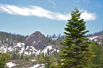
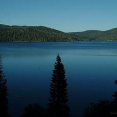
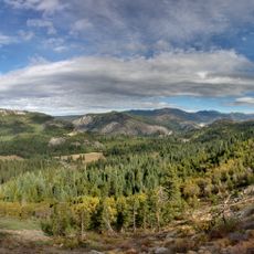
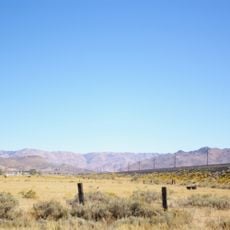
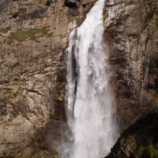
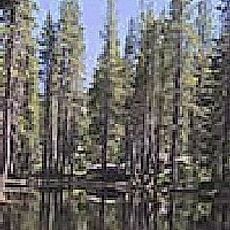
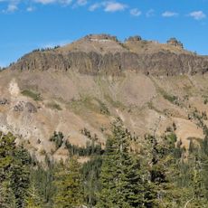
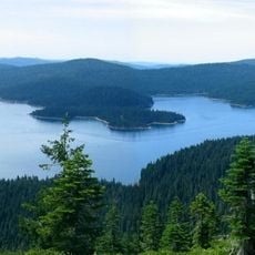
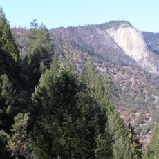
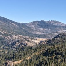
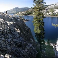
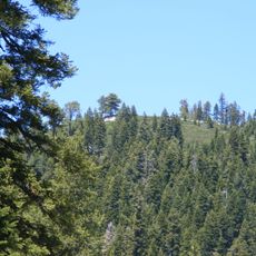
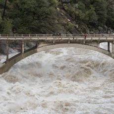
Plumas-Eureka State Park is a protected mountain landscape featuring granite peaks, mountain meadows, clear lakes, and thick forests in the Sierra Nevada. The terrain spans elevations from about 4,720 feet (1,440 m) to 7,447 feet (2,270 m), with numerous trails for hiking and multiple waterways for fishing throughout the grounds.
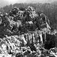
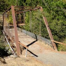
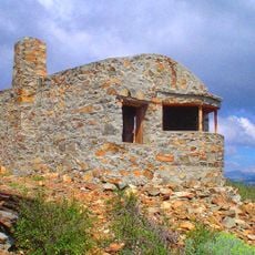
The area was developed during California's Gold Rush in the 1850s as a mining settlement. Surviving structures like the Mohawk Stamp Mill, blacksmith shop, mine office, and the 1859 Moriarity House represent the buildings and workings that supported the mining economy of that era.
The park's name references the Plumas region and the nearby Eureka Peak that dominates the landscape. Visitors can experience how mining heritage sites remain woven into the daily use of the space for outdoor recreation.
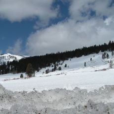
The park offers camping accommodations for both tent and RV campers spread throughout the grounds. Visitors should expect seasonal variations in accessibility, as snow may affect higher elevation areas and roads during winter months.
The Eureka Ski Bowl within the park has hosted the National Longboard Championship since 1993. This event continues a winter sports tradition that began in the 1800s, showing how the area has long served as a destination for snow-based activities.
The community of curious travelers
AroundUs brings together thousands of curated places, local tips, and hidden gems, enriched daily by 60,000 contributors worldwide.