Plumas County, Administrative division in Northern California, United States
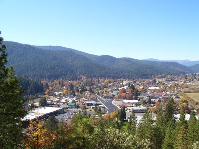
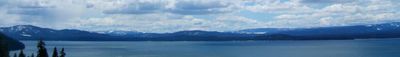
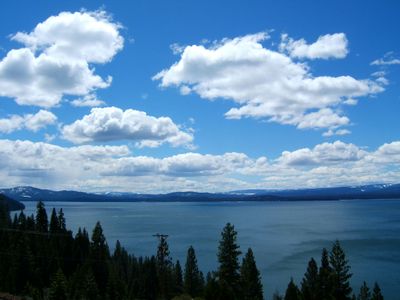
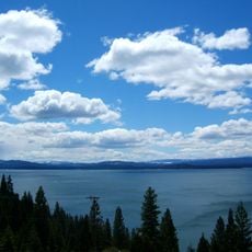
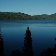
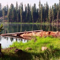
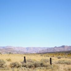
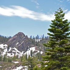
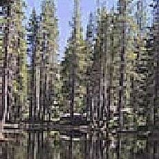
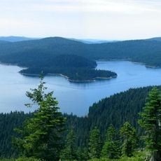
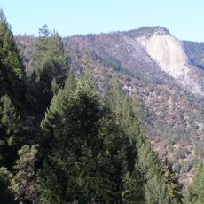
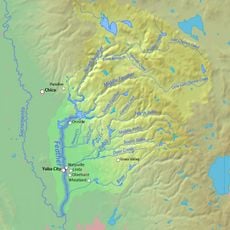
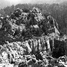
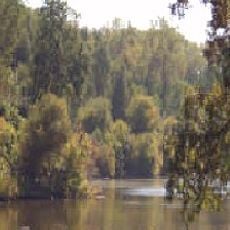
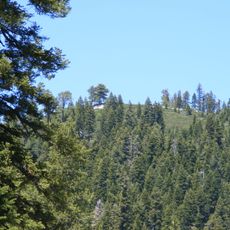
Plumas County is an administrative division in Northern California where the Sierra Nevada mountains meet the Cascade Range. The county encompasses mountainous terrain crossed by the Feather River and contains multiple national forests.
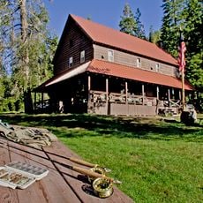
The region was home to the Mountain Maidu people before gold discoveries after 1848 brought miners and led to the county's formation in 1854. This mining era shaped the development of settlements and local infrastructure.
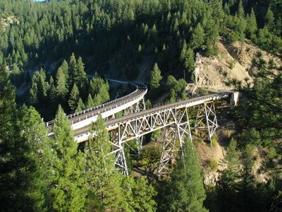
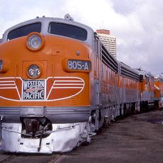
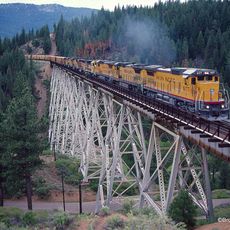
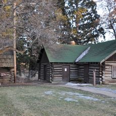
The Western Pacific Railroad Museum and Collins Pine Museum present exhibits documenting the evolution of transportation and forestry industries.
Visitors can access various public services and administrative offices that operate during regular business hours throughout the county. Summer months offer the best conditions for exploring, when mountain roads are most passable.
The area has two notable museums, the Western Pacific Railroad Museum and Collins Pine Museum, that showcase different aspects of local economic history. Together they document the importance of railroads and forestry to this mountain region's development.
Location: California
Inception: 1854
Capital city: Quincy
Shares border with: Lassen County, Sierra County, Yuba County, Butte County, Tehama County, Shasta County
Website: http://countyofplumas.com
GPS coordinates: 40.01000,-120.83000
Latest update: December 12, 2025 00:48
Lake Almanor
39 km
Plumas National Forest
38.3 km
Lassen National Forest
50 km
Western Pacific Railroad Museum
37.9 km
Beckwourth Pass
66.3 km
Feather Falls
55.8 km
Plumas-Eureka State Park
29.6 km
Lake Davis
29.3 km
Bucks Lake Wilderness
30.2 km
Drakesbad Guest Ranch
68.7 km
Little Grass Valley Reservoir
34.1 km
Bald Rock Dome
57.1 km
Antelope Dam
26.9 km
Bucks Lake
31.6 km
Poe Dam
56.1 km
Canyon Dam
28.6 km
Pulga Bridges
58.3 km
Clio trestle
36.3 km
Hosselkus Limestone
10.9 km
Butte Creek Ecological Reserve
50.7 km
Mount Ingalls
17.4 km
Mount Ina Coolbrith
67.9 km
North Fork Bridge
63.7 km
Mount Harkness Fire Lookout
61.7 km
Tobin Bridges
42.3 km
Roop's Fort
47.9 km
Warner Valley Ranger Station
67.1 km
Schroeder Mountain
49.8 kmVisited this place? Tap the stars to rate it and share your experience / photos with the community! Try now! You can cancel it anytime.
Discover hidden gems everywhere you go!
From secret cafés to breathtaking viewpoints, skip the crowded tourist spots and find places that match your style. Our app makes it easy with voice search, smart filtering, route optimization, and insider tips from travelers worldwide. Download now for the complete mobile experience.
A unique approach to discovering new places❞
— Le Figaro
All the places worth exploring❞
— France Info
A tailor-made excursion in just a few clicks❞
— 20 Minutes