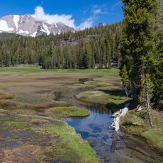
Bucks Lake Wilderness, Protected wilderness area in Plumas County, California.
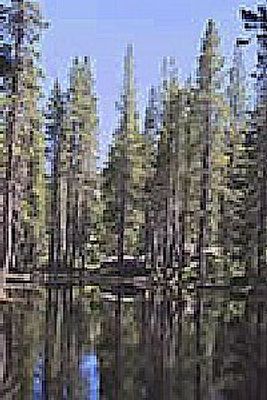
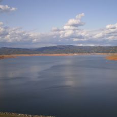
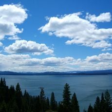
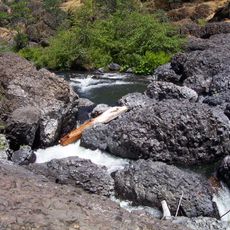
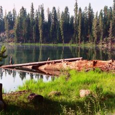
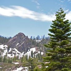
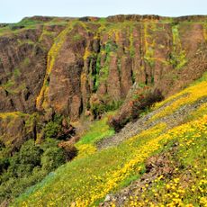
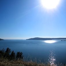
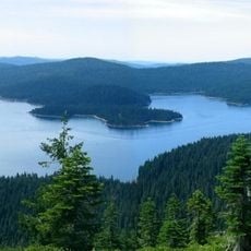
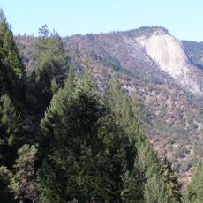
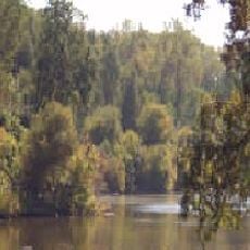
Bucks Lake Wilderness is a protected mountainous forest in Plumas County that combines high peaks with numerous alpine lakes set among dense conifer stands. The terrain rises and falls dramatically, creating sheltered valleys where water flows between granite shorelines and tree-covered slopes.
Indigenous peoples hunted and gathered here for centuries until European settlers arrived in the late 1800s seeking timber and minerals. The intensive resource extraction that followed eventually led to the area's protection as a wilderness preserve.
The area maintains strict conservation practices through the National Wilderness Preservation System, protecting natural habitats and wildlife species native to Sierra Nevada.
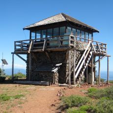
You can reach the area through Bucks Lake Recreation Area, which has campgrounds and day-use facilities for visitors. Various trails connect the lakes and ridges, ranging from short walks near the shore to longer backcountry routes.
Five different trout species and salmon inhabit the lakes and streams throughout the wilderness. This concentration of fish diversity is uncommon, drawing anglers who seek this unusual variety in one location.
The community of curious travelers
AroundUs brings together thousands of curated places, local tips, and hidden gems, enriched daily by 60,000 contributors worldwide.