Chest opened
+${chestReward.xp} XP
Explorer
NOUVEAU ×${chestReward.collectible.quantity}
tapez pour fermer

See the monuments around you in AR Open chests in the app

Around Us is built for your phone — point your camera at the streets and discover the monuments and places around you in augmented reality. Around Us is built for your phone — chests unlock when you walk, explore and capture nearby places.

Enable Location

We need your location to show you interesting places around you

Discover nearby places

Find interesting locations and hidden gems around you

Precise directions

Get accurate directions and distances to places

Your location is never shared with other users. It's only used when you tap the location button.

Acoma Pueblo

Log in to your account

Start exploring — it's free

Trusted by 86,921 travelers worldwide

Continue with Google
Continue with Apple
or

We will send you a code to connect

By continuing, you accept our Terms and Conditions and our Privacy Policy

Check your inbox

We've sent a pincode in your inbox. Please enter the code below.

Discussion Reviews 1 Photos
107k Popularity

Acoma Pueblo, Historic Native American settlement in Cibola County, New Mexico.

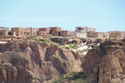
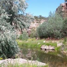
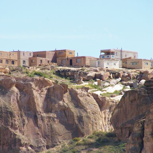
Acoma Pueblo is a Native American settlement in Cibola County, New Mexico, where houses made of sun-dried mud bricks stand on a sandstone plateau. The walls are built from multiple layers, and many buildings have small windows and flat roofs of timber beams and earth.

The settlement began in the early centuries of the Christian era, when ancestors of today's residents chose the rock as a refuge. In the 16th century, Spanish explorers encountered the settlement, and decades later a rebellion against the occupiers brought heavy losses.

Residents call their settlement Haaku, which means the place on the mesa in their language. Today only a few families live permanently on the plateau, while others return to make pottery or attend ceremonies.

Guided visits begin at the visitor center below the plateau, and the ascent follows stairs and paths that wind along the rock face. On certain days photography is restricted in parts of the settlement, and visitors should follow guidance from their tour leader.

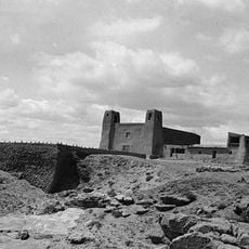
In the San Esteban del Rey church at the western edge of the plateau, heavy ceiling beams of pine were carried by men over 30 miles (48 kilometers). The floor of the interior is several steps lower than the surrounding ground, because earth was hauled up from the valley.

The community of curious travelers

AroundUs brings together thousands of curated places, local tips, and hidden gems, enriched daily by 60,000 contributors worldwide.
Start exploring
Location
GPS coordinates
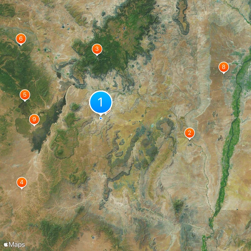
34.89719,-107.58242
Latest update
September 11, 2026 18:48
Around this place
United States of America

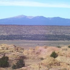
Los Lunas Decalogue Stone

34.2 mi
Mount Taylor
United States of America

Mount Taylor

23.7 mi
The Lightning Field
United States of America

The Lightning Field

39.7 mi
Bandera Volcano Ice Cave
United States of America

Bandera Volcano Ice Cave

29.1 mi
Bluewater Lake State Park
United States of America

Bluewater Lake State Park

40.6 mi
United States of America

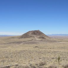
Enchanted Mesa

2.4 mi
Vulcan
United States of America

Vulcan

48.9 mi
El Malpais National Conservation Area
United States of America

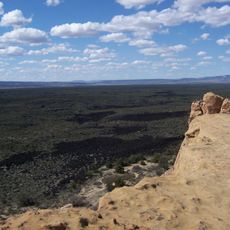
El Malpais National Conservation Area

25 mi
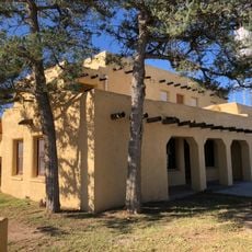
San Estevan Del Rey Mission Church
United States of America

San Estevan Del Rey Mission Church

30 ft
Ladron Peak
United States of America

Ladron Peak

42.8 mi
Black Volcano
United States of America

Black Volcano

48.7 mi
Cebolla Wilderness
United States of America

Cebolla Wilderness

21.7 mi
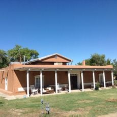
Acoma Curio Shop
United States of America

Acoma Curio Shop

12.9 mi
Datil-Mogollon Section
United States of America

Datil-Mogollon Section

22 mi
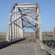
Rio Puerco Bridge
United States of America

Rio Puerco Bridge

37.5 mi
JA volcano
United States of America

JA volcano

48.6 mi
United States of America

Pottery Mound

48.6 mi
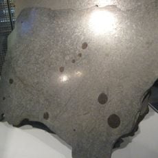
Grant meteorite
United States of America

Grant meteorite

22.5 mi
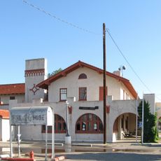
Belen Harvey House
United States of America

Belen Harvey House

49.1 mi
United States of America

San Jose de la Laguna Mission and Convento

14.5 mi
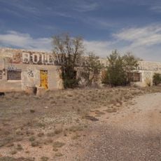
Bowlin's Old Crater Trading Post
United States of America

Bowlin's Old Crater Trading Post

35.2 mi
Grants-Milan Flight Service Station
United States of America

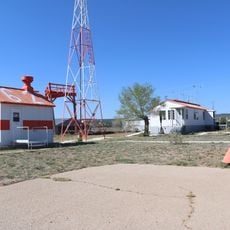
Grants-Milan Flight Service Station

25.8 mi
Charley's Automotive Service
United States of America

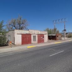
Charley's Automotive Service

23.9 mi
Tome Jail
United States of America

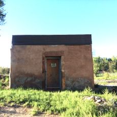
Tome Jail

49.6 mi
Belen City Hall
United States of America

Belen City Hall

48.8 mi
Felipe Chaves House
United States of America

Felipe Chaves House

48.5 mi
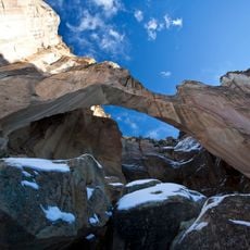
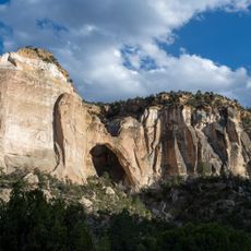
La Ventana Natural Arch
United States of America

La Ventana Natural Arch

17.5 mi
Los Lunas Museum of Heritage & Arts
United States of America

Los Lunas Museum of Heritage & Arts

48.6 mi
Show the full map
Reviews
Share your experience

No review yet

Discussions
Start a discussion...

No discussion yet

« Acoma Pueblo - Historic Native American settlement in Cibola County, New Mexico » is provided by Around Us (aroundus.com). Images and texts are derived from Wikimedia project under a Creative Commons license. You are allowed to copy, distribute, and modify copies of this page, under the conditions set by the license, as long as this note is clearly visible.

Discover hidden gems everywhere you go!

From secret cafés to breathtaking viewpoints, skip the crowded tourist spots and find places that match your style. Our app makes it easy with voice search, smart filtering, route optimization, and insider tips from travelers worldwide. Download now for the complete mobile experience.

Around Us App Screenshot

A unique approach to discovering new places

Le Figaro

All the places worth exploring

France Info

A tailor-made excursion in just a few clicks

20 Minutes

Around Us
Travel Guide & Maps
Download

Send to your phone

QR Code
1

Open the camera app on your mobile.

2

Point at the QR code with your camera. A notification will appear.

3

Tap the notification to open the link.