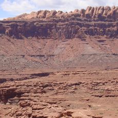
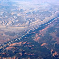
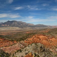
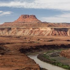
Henry Mountains, Mountain range in Garfield and Wayne Counties, Utah, US.
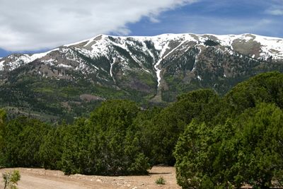
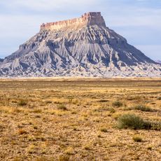
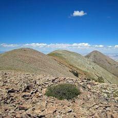
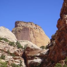
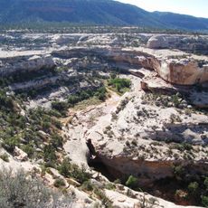
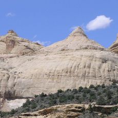
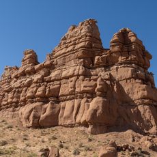
The Henry Mountains stretch across southwestern Utah and consist of five major peaks that rise above the surrounding terrain. These mountains formed when ancient molten rock intruded into existing sedimentary layers, creating their distinctive structure.
Almon Thompson first mapped these mountains in 1872, making them the last major mountain range added to maps of the contiguous United States. This late discovery highlighted how isolated and difficult to access the region remained during that era.
The Navajo Nation refers to this mountain range as Dził Bizhiʼ Ádiní, meaning "mountain whose name is missing" in their language. This name reflects the deep connection between the Navajo people and this landscape.
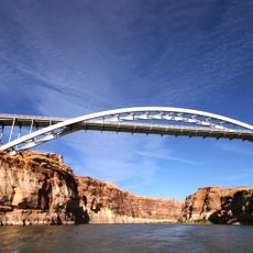
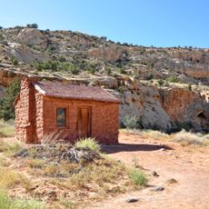
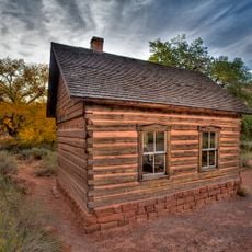
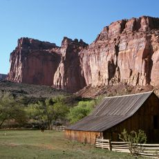
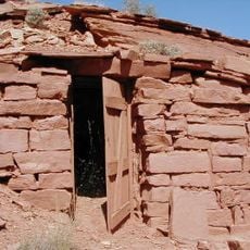
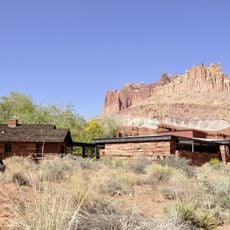
Access to the mountains is via maintained roads from Hanksville, though seasonal snowfall can affect travel conditions depending on the time of year. Visitors should be prepared for rugged terrain and plan their visit between May and October for optimal conditions.
The range is home to one of the few free-roaming bison herds in the nation, transplanted here from Yellowstone in the early 1940s. These animals roam freely across the landscape and demonstrate how protected land can support wildlife recovery.
The community of curious travelers
AroundUs brings together thousands of curated places, local tips, and hidden gems, enriched daily by 60,000 contributors worldwide.