
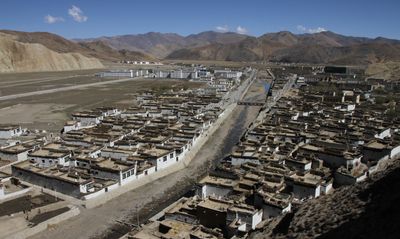
Shelkar, Tingri Xian town, in Tibetan autonomous region
Location: Tingri County
Elevation above the sea: 4,330 m
GPS coordinates: 28.66311,87.12132
Latest update: March 25, 2025 11:52
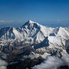
Mount Everest
77.6 km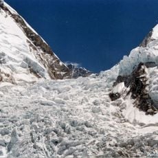
Khumbu Icefall
78.2 km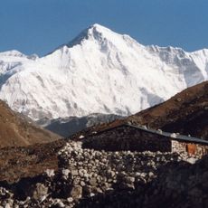
Cho Oyu
77.6 km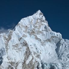
Nuptse
80.8 km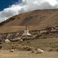
Rongbuk Monastery
59.5 km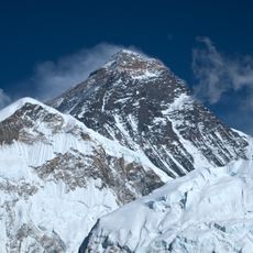
South Summit
77.9 km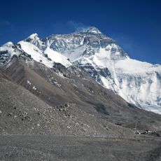
Rongbuk Glacier
67.3 km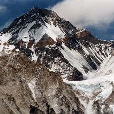
Changtse
73.9 km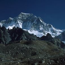
Gyachung Kang
72.9 km
Lhotse Shar
80.3 km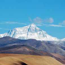
Qomolangma National Nature Preserve
62 km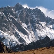
Lhotse Middle
79.5 km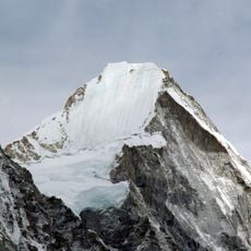
Lingtren
75.4 km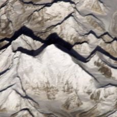
Kangshung Glacier
75.8 km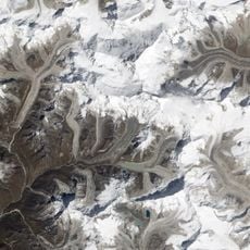
Lhotse Shar Glacier
80.2 km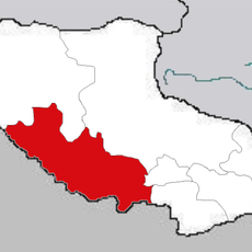
Rikaze Diqu
54.8 km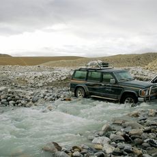
Qomolangma National Park
70.1 km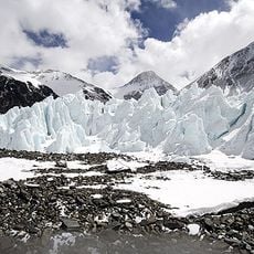
Khartaphu
68.1 km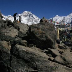
Hungchi
78.4 km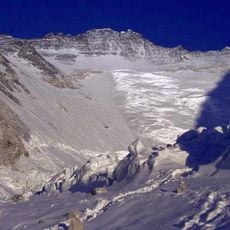
Western Cwm
79 km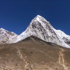
Kala Patthar
79.6 km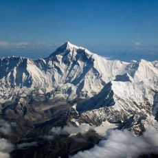
Shar Tse
80.6 km
Shelkar Chode
811 m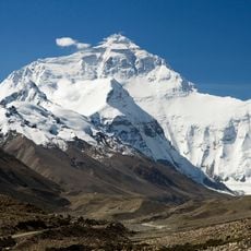
North Face
76.4 km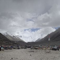
Everest Base Camp
63.8 km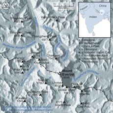
Kellas Rock Peak
64.4 km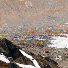
Everest Base Camp
78.5 km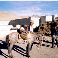
Dzong de Tingri
50.4 kmReviews
Visited this place? Tap the stars to rate it and share your experience / photos with the community! Try now! You can cancel it anytime.
Discover hidden gems everywhere you go!
From secret cafés to breathtaking viewpoints, skip the crowded tourist spots and find places that match your style. Our app makes it easy with voice search, smart filtering, route optimization, and insider tips from travelers worldwide. Download now for the complete mobile experience.

A unique approach to discovering new places❞
— Le Figaro
All the places worth exploring❞
— France Info
A tailor-made excursion in just a few clicks❞
— 20 Minutes