Santa Fe National Forest, National forest in northern New Mexico, United States
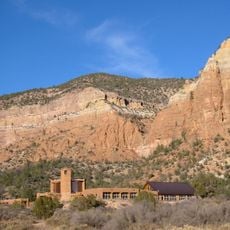
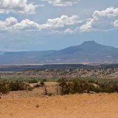
Santa Fe National Forest covers 1,558,452 acres of northern New Mexico, from 5,300 feet up to the 13,103-foot summit of Truchas Peak in the Pecos Wilderness. Its districts lie in the Jemez Mountains and the Sangre de Cristo Mountains, and headquarters are in the city of Santa Fe. The Jemez Ranger District borders the Valles Caldera National Preserve, administered by the National Park Service.
The Jemez and Pecos forest reserves were combined in 1915 to create this protected area under federal management. This merger established the foundation for protecting the region's forests and resources for future generations.
The forest borders Pueblo lands, and its districts take their names from nearby communities: Jemez Springs, Coyote, Cuba and Española. The Jemez Ranger District was created in 1905 as the Jemez Forest Reserve, and the Pecos/Las Vegas district in 1892 as the Pecos River Forest Reserve. Bandelier National Monument, created in 1916 from part of the forest, holds ancestral Pueblo sites.
The visitor center in Santa Fe city offers maps, information, and guidance about conditions in the different sections of the forest. Plan your visit according to seasonal weather changes and road conditions, which can vary significantly by location.
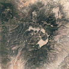
The Valles Caldera is not part of the forest: it is a separate national preserve, administered by the National Park Service, that borders the Jemez Ranger District on the west. The Jemez District itself was first set aside in 1905 as the Jemez Forest Reserve, and holds hot springs and the Jemez Soda Dam on the Jemez River.
The community of curious travelers
AroundUs brings together thousands of curated places, local tips, and hidden gems, enriched daily by 94,989 contributors worldwide.