
Huerfano County, Administrative division in southern Colorado, United States.
Huerfano County spans over diverse landscapes from 4,000 to 14,000 feet elevation, featuring mountains, valleys, rivers, and numerous recreational areas throughout its territory.
Established in 1861 from parts of Las Animas County, the region developed through mining operations and served as a significant point along the Santa Fe Trail.
The county maintains strong ties to its mining heritage through preserved historic buildings in Walsenburg and hosts regular community events celebrating local traditions.
The Board of County Commissioners conducts regular meetings to address community matters and maintains an official website with resources for residents and visitors.
The Spanish word 'huérfano' meaning orphan was chosen as the county name due to the numerous abandoned mines that dotted the landscape during its early development.
Location: Colorado
Inception: 1861
Capital city: Walsenburg
Shares border with: Pueblo County, Las Animas County, Costilla County, Alamosa County, Custer County, Saguache County
Website: http://huerfano.us
GPS coordinates: 37.69000,-104.96000
Latest update: May 27, 2025 11:49

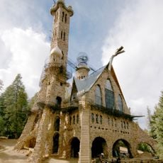
Bishop Castle
43 km
Blanca Peak
48 km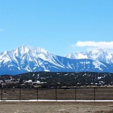
Spanish Peaks
34.9 km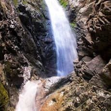
Zapata Falls
52.9 km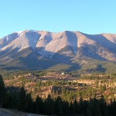
Spanish Peaks Wilderness
34.3 km
West Spanish Peak
35.1 km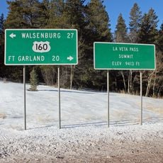
North La Veta Pass
21.9 km
Lathrop State Park
13.2 km
Huerfano Butte
13.7 km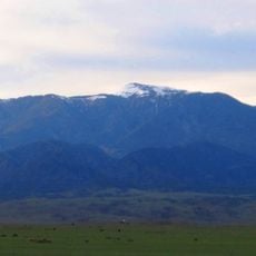
Greenhorn Mountain
21.8 km
Fort Garland
51.1 km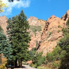
North Cheyenne Cañon Park
13.8 km
Little Bear Peak
49.3 km
Mount Lindsey
44.3 km
East Spanish Peak
33.2 km
Ludlow Tent Colony Site
51.3 km
Ellingwood Point
48.4 km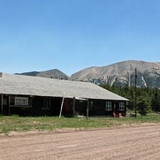
Mount Mestas
20.4 km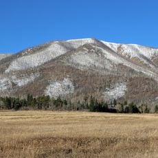
Iron Mountain
26.5 km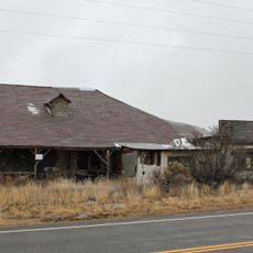
Montoya Ranch
11.5 km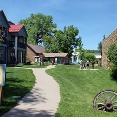
Francisco Plaza
20.8 km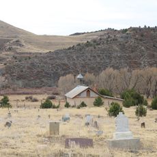
Our Lady of Guadalupe Church and Medina Cemetery
64 km
Butler House
57.1 km
Superintendent's Residence, Great Sand Dunes National Monument
49.4 km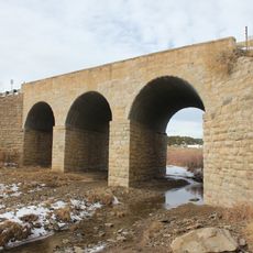
Bridge over Burro Cañon
66 km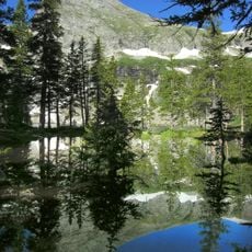
Lower Sand Creek Lake
57 km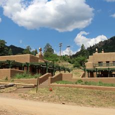
Monument Lake Park Building and Hatchery Complex
54.4 km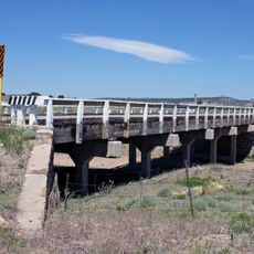
Maitland Arroyo Bridge
11.4 kmReviews
Visited this place? Tap the stars to rate it and share your experience / photos with the community! Try now! You can cancel it anytime.
Discover hidden gems everywhere you go!
From secret cafés to breathtaking viewpoints, skip the crowded tourist spots and find places that match your style. Our app makes it easy with voice search, smart filtering, route optimization, and insider tips from travelers worldwide. Download now for the complete mobile experience.

A unique approach to discovering new places❞
— Le Figaro
All the places worth exploring❞
— France Info
A tailor-made excursion in just a few clicks❞
— 20 Minutes