Interstate 70, Interstate highway between Baltimore and Utah, United States.
Interstate 70 is a transcontinental highway between Baltimore, Maryland, and Cove Fort, Utah, covering about 2151 miles (3463 kilometers). It crosses ten states and links the eastern seaboard with the mountain west through very different kinds of terrain.
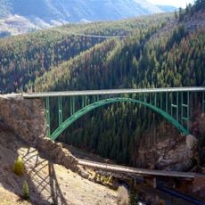
Construction began in 1956 as part of the national interstate system and was mostly complete by the 1970s. The final segment through Glenwood Canyon in Colorado was finished in 1992 and represents a technical achievement in road building.
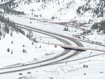
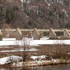
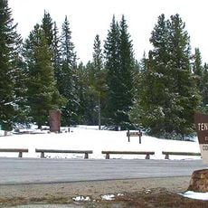
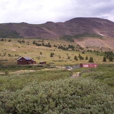
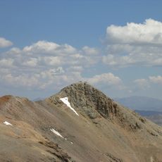
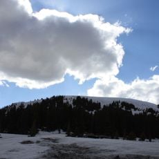
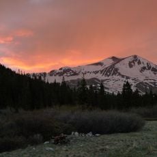
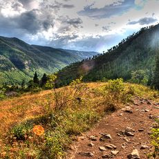
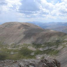
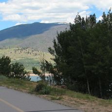
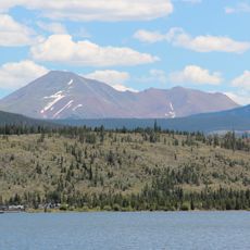
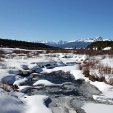
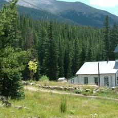
The route crosses many different landscapes, from the rolling hills of the Appalachian region to the wide plains of the Midwest and the steep slopes of the Rocky Mountains. Rest areas and truck stops along the road follow American tradition, with large parking lots and regional specialties sold at the attached shops.
The highway is open year-round, though snow and ice in winter months can cause closures, especially at higher elevations. Rest areas with facilities are spaced at regular intervals, particularly in the more densely settled eastern states.
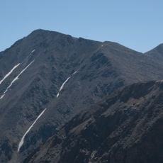
The Eisenhower Tunnel at 11,158 feet (3401 meters) is the highest point in the entire American interstate system and also the longest mountain tunnel in the country. In Glenwood Canyon, the roadway runs on multiple levels along the rock walls to protect the river below and the natural surroundings.
The community of curious travelers
AroundUs brings together thousands of curated places, local tips, and hidden gems, enriched daily by 60,000 contributors worldwide.