Chest opened
+${chestReward.xp} XP
Explorer
NOUVEAU ×${chestReward.collectible.quantity}
tapez pour fermer

See the monuments around you in AR Open chests in the app

Around Us is built for your phone — point your camera at the streets and discover the monuments and places around you in augmented reality. Around Us is built for your phone — chests unlock when you walk, explore and capture nearby places.

Enable Location

We need your location to show you interesting places around you

Discover nearby places

Find interesting locations and hidden gems around you

Precise directions

Get accurate directions and distances to places

Your location is never shared with other users. It's only used when you tap the location button.

Medicine Bow Mountains

Log in to your account

Start exploring — it's free

Trusted by 86,758 travelers worldwide

Continue with Google
Continue with Apple
or

We will send you a code to connect

By continuing, you accept our Terms and Conditions and our Privacy Policy

Check your inbox

We've sent a pincode in your inbox. Please enter the code below.

Medicine Bow Mountains
Discussion Reviews 1 Photos
15.3k Popularity

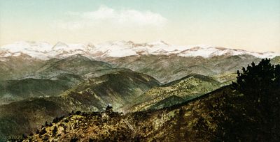
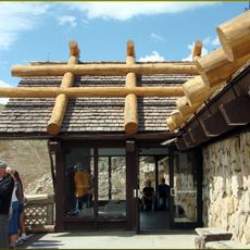
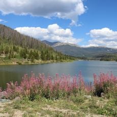
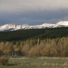
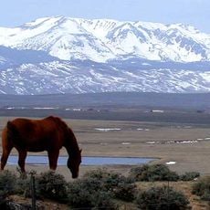
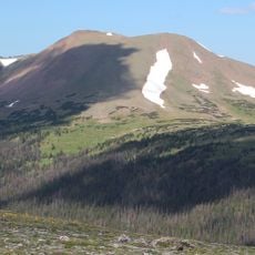
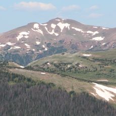
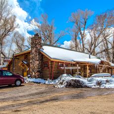
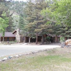
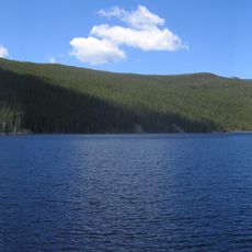
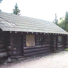
Medicine Bow Mountains, Mountain range in Colorado and Wyoming, United States.

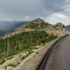
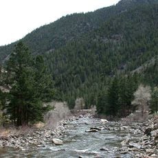
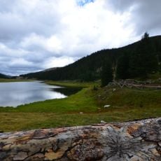
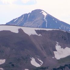
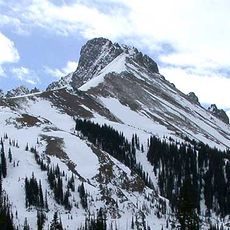
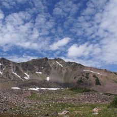
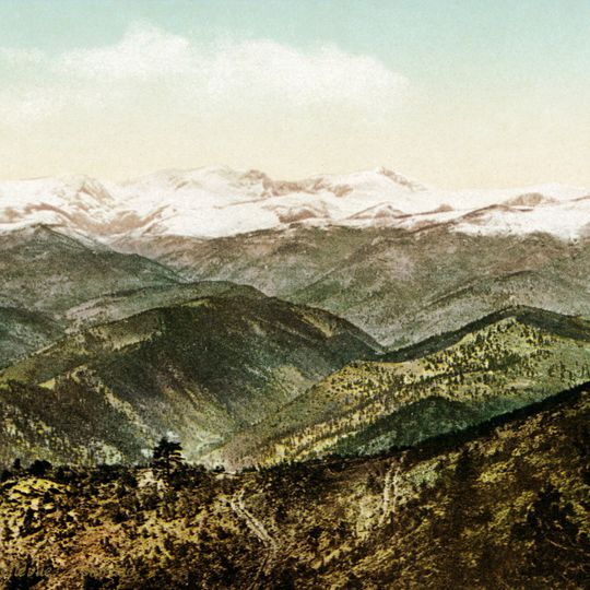
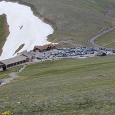
The Medicine Bow Mountains form a major range stretching across northern Colorado and southern Wyoming with distinct peaks and varied elevations. The landscape includes dense coniferous forests, mountain meadows, and numerous lakes nestled between rocky ridges.

The range formed roughly 70 million years ago during a major uplift period when continental forces pushed ancient rocks upward from the crust. This geological process created the elevation changes and distinctive rock structures visible in the mountains today.

The name comes from the medicine men of Ute and Cheyenne peoples who gathered healing plants in these mountains. Visitors walking the trails today can sense the cultural connections that shaped how people have moved through this landscape for generations.

The range offers numerous trails and paths suitable for different activity levels and abilities. Visitors should prepare for changing weather at altitude and bring adequate water and supplies when venturing into these mountains.

The rocks here contain quartzite layers formed from ancient marine sediments more than two billion years old. These rare materials make the mountains distinct from other ranges in the region and offer a window into Earth's distant past.

The community of curious travelers

AroundUs brings together thousands of curated places, local tips, and hidden gems, enriched daily by 60,000 contributors worldwide.
Start exploring
Location
Location
GPS coordinates
40.83000,-106.08000
Latest update
September 12, 2026 03:18
Around this place
Trail Ridge Road
United States of America

Trail Ridge Road

31.3 mi
Poudre Canyon
United States of America

Poudre Canyon

25.6 mi
Grand Ditch
United States of America

Grand Ditch

28.3 mi
Alpine Visitor Center
United States of America

Alpine Visitor Center

31.9 mi
State Forest State Park
United States of America

State Forest State Park

22.3 mi
Lulu City
United States of America

Lulu City

29.3 mi
Milner Pass
United States of America

Milner Pass

31.7 mi
Rawah Wilderness
United States of America

Rawah Wilderness

6.3 mi
Mount Richthofen
United States of America

Mount Richthofen

26.8 mi
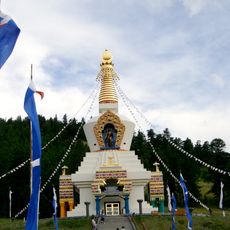
The Great Stupa of Dharmakaya
United States of America

The Great Stupa of Dharmakaya

29.1 mi
Nokhu Crags
United States of America

Nokhu Crags

25.8 mi
Arapaho National Wildlife Refuge
United States of America

Arapaho National Wildlife Refuge

17.1 mi
Mount Zirkel
United States of America

Mount Zirkel

30.4 mi
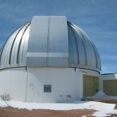
Wyoming Infrared Observatory
United States of America

Wyoming Infrared Observatory

19.2 mi
Clark Peak
United States of America

Clark Peak

17.3 mi
Hutton Lake Wildlife Refuge
United States of America

Hutton Lake Wildlife Refuge

30.9 mi
Specimen Mountain
United States of America

Specimen Mountain

30.2 mi
Northgate Canyon
United States of America

Northgate Canyon

18.2 mi
Iron Mountain
United States of America

Iron Mountain

25.3 mi
United States of America

Braddock Peak

25.8 mi
Fall River Pass Ranger Station
United States of America

Fall River Pass Ranger Station

31.9 mi
Woods Landing Dance Hall
United States of America

Woods Landing Dance Hall

19.7 mi
Arrowhead Lodge
United States of America

Arrowhead Lodge

24.8 mi
Comanche Reservoir
United States of America

Comanche Reservoir

28.3 mi
Milner Pass Road Camp Mess Hall and House
United States of America

Milner Pass Road Camp Mess Hall and House

31.9 mi
Fall River Pass Historic District
United States of America

Fall River Pass Historic District

31.9 mi
Alpine Ridge Trail
United States of America

Alpine Ridge Trail

31.8 mi
La Poudre Pass Ranger Station
United States of America

La Poudre Pass Ranger Station

27.9 mi
Show the full map
Reviews
Share your experience

No review yet

Discussions
Start a discussion...

No discussion yet

« Medicine Bow Mountains - Mountain range in Colorado and Wyoming, United States » is provided by Around Us (aroundus.com). Images and texts are derived from Wikimedia project under a Creative Commons license. You are allowed to copy, distribute, and modify copies of this page, under the conditions set by the license, as long as this note is clearly visible.

Discover hidden gems everywhere you go!

From secret cafés to breathtaking viewpoints, skip the crowded tourist spots and find places that match your style. Our app makes it easy with voice search, smart filtering, route optimization, and insider tips from travelers worldwide. Download now for the complete mobile experience.
Around Us App Screenshot

A unique approach to discovering new places

Le Figaro

All the places worth exploring

France Info

A tailor-made excursion in just a few clicks

20 Minutes

Around Us
Travel Guide & Maps
Download

Send to your phone

QR Code
1

Open the camera app on your mobile.

2

Point at the QR code with your camera. A notification will appear.

3

Tap the notification to open the link.