Umatilla, city in Umatilla County, Oregon, United States
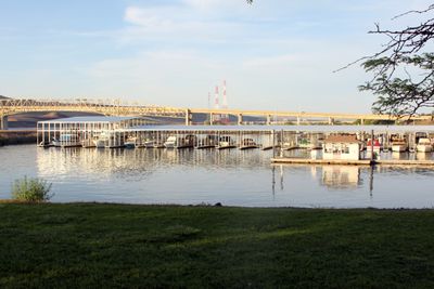
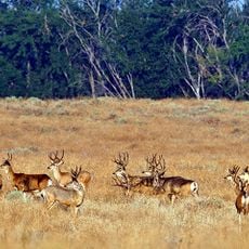
Umatilla is a small city in eastern Oregon that extends along the Columbia River and has roughly 7,000 residents. It is defined by natural landscapes, including the river, nearby wildlife refuge areas, parks with sports facilities, and river access points.
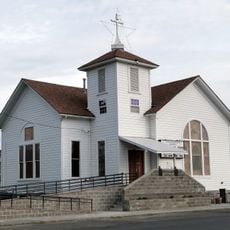
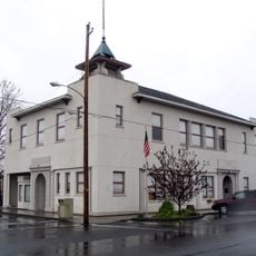
The region was originally home to the Umatilla, Walla Walla, and Cayuse tribes who depended on river and forest resources. European settlement began in the mid-1800s, and the town was officially established in 1864, after which it grew through farming and trade.
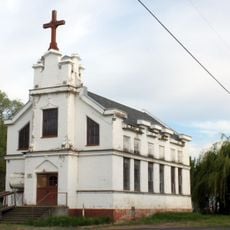
The name Umatilla comes from the Umatilla people who lived in this area for generations. The town honors this heritage through local events and cultural sites that keep the history of the native tribes alive.
The flat terrain and proximity to Interstate 82 make it easy to navigate and move around the city by car or bus, which connect to nearby towns. Semi-dry summers offer ideal conditions for outdoor activities like fishing, boating, and hiking, while milder winters allow year-round access to parks and trails.
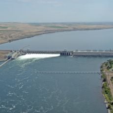
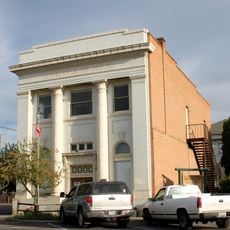
The Umatilla port area is a major hub for shipping and storage, a detail often overlooked by visitors who see it mainly as an outdoor destination. This economic role is visible in the daily activity along the river and underscores the town's importance as a regional trading center.
The community of curious travelers
AroundUs brings together thousands of curated places, local tips, and hidden gems, enriched daily by 60,000 contributors worldwide.