
Dayton, city in Washington, USA
Location: Columbia County
Elevation above the sea: 506 m
Website: http://www.daytonwa.com/
Website: http://daytonwa.com
GPS coordinates: 46.31972,-117.97778
Latest update: March 30, 2025 11:50
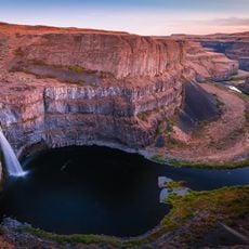
Palouse Falls
42.6 km
Mullan Road
53 km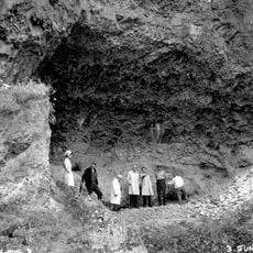
Marmes Rockshelter
37.1 km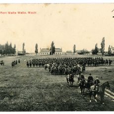
Fort Walla Walla
37 km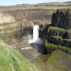
Palouse Falls State Park
43 km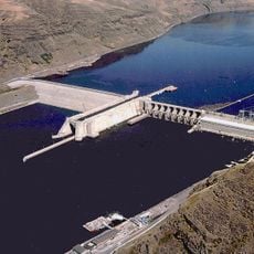
Lower Granite Dam
56.7 km
Columbia Plateau State Park Trail
57.2 km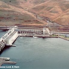
Little Goose Dam
30 km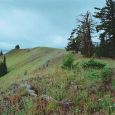
Wenaha–Tucannon Wilderness
41.3 km
Lower Monumental Dam
50.7 km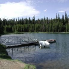
Jubilee Lake
54.4 km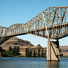
Snake River Bridge
35.3 km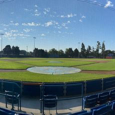
Borleske Stadium
38.6 km
Wenaha Wildlife Area
58.1 km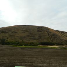
Lewis and Clark Trail-Travois Road
41.5 km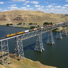
Joso High Bridge
36 km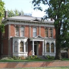
Kirkman House
39.4 km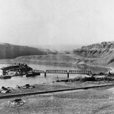
Riparia Bridge
29.7 km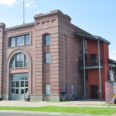
Electric Light Works Building
40 km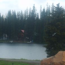
Langdon Lake
60.9 km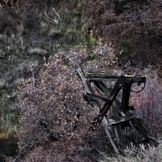
Interior Grain Tramway
59.8 km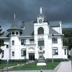
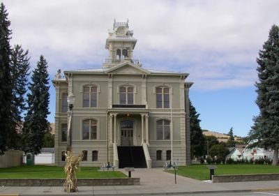
Garfield County Courthouse
33.7 km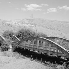
Indian Timothy Memorial Bridge
59.6 km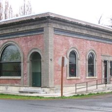
Bank of Starbuck
25 km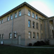
Preston Hall
14.7 km
Lyons Ferry State Park
38.4 km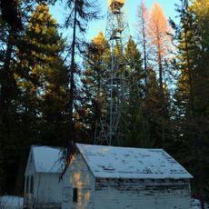
Hoodoo Ridge Lookout
50.2 km
Walla Walla Valley Traction Company Car Barn
40.5 kmReviews
Visited this place? Tap the stars to rate it and share your experience / photos with the community! Try now! You can cancel it anytime.
Discover hidden gems everywhere you go!
From secret cafés to breathtaking viewpoints, skip the crowded tourist spots and find places that match your style. Our app makes it easy with voice search, smart filtering, route optimization, and insider tips from travelers worldwide. Download now for the complete mobile experience.

A unique approach to discovering new places❞
— Le Figaro
All the places worth exploring❞
— France Info
A tailor-made excursion in just a few clicks❞
— 20 Minutes