Mullan Road, Historická silnice, resp. vozová cesta přes území amerického Severozápadu mezi řekami Missouri a Columbia, postavená v letech 1859 až 1860
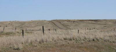
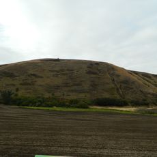
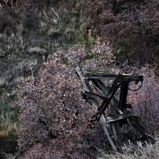
Mullan Road is a historic path in Idaho that runs through forested and mountainous terrain, built in the 19th century as a military and settler route. The road follows much of its original alignment and still shows visible cuts, worn sections, and traces of early construction work in several places.
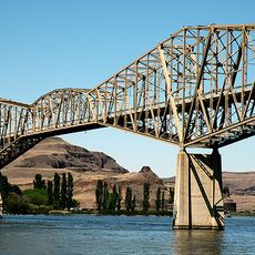
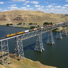
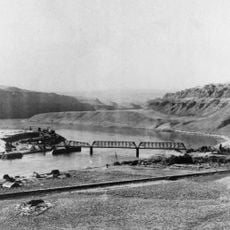
Mullan Road was built between 1859 and 1862 by Lieutenant John Mullan and his crew to link Fort Benton in Montana with Fort Walla Walla in Washington. The connection eased military supply and opened the way for faster settlement of the Northwest in the following decades.
The road is seen as a symbol of the opening of the American Northwest to settlers and trade. Along certain sections, the original path is still visible in the landscape, giving visitors a direct sense of how people once moved through this remote land.
Some sections of the road are only reachable on foot or with off-road vehicles, so planning ahead and choosing the right gear matters. Weather in the mountains can shift quickly, so sturdy footwear and extra layers are a good idea before setting out.
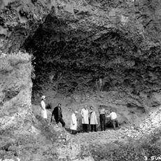
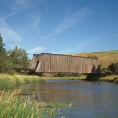
Mullan Road is one of the few 19th-century military roads in the United States to be recognized as a Historic Civil Engineering Landmark, which points to its construction methods rather than just its history. The entire route was built using only hand tools and animal power, with no mechanical equipment, through terrain that stopped many other attempts at road-building.
The community of curious travelers
AroundUs brings together thousands of curated places, local tips, and hidden gems, enriched daily by 60,000 contributors worldwide.