Enable Location

We need your location to show you interesting places around you

Discover nearby places

Find interesting locations and hidden gems around you

Precise directions

Get accurate directions and distances to places

Your location is never shared with other users. It's only used when you tap the location button.

Whitman County

Log in to your account

Start exploring — it's free

Trusted by 61,563 travelers worldwide

Continue with Google
Continue with Apple
or

We will send you a code to connect

By continuing, you accept our Terms and Conditions and our Privacy Policy

Check your inbox

We've sent a pincode in your inbox. Please enter the code below.

Whitman County, Administrative division in southeastern Washington, US

Description

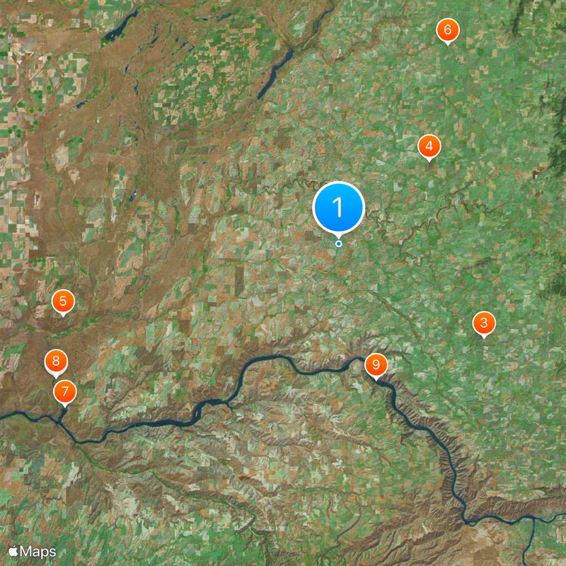
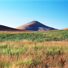
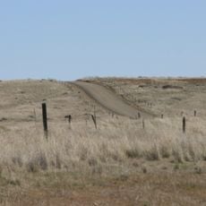
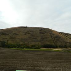
Whitman County is an administrative division in the Palouse region of southeastern Washington with rolling landscapes and extensive farmland. The terrain is dominated by agricultural activity, particularly large-scale grain cultivation.

History

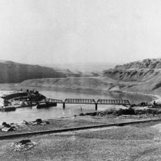
The area was established in 1871 from Stevens County and named after Marcus Whitman, a Presbyterian missionary. Whitman sought to work in the region and represents an early chapter in its European-American settlement history.

Culture

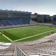
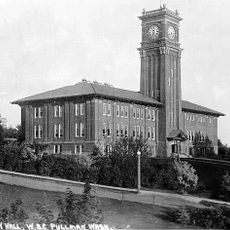
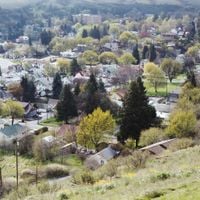
Washington State University in Pullman shapes the cultural rhythm with its students and research programs year-round. The university influences local events, galleries, and community gatherings throughout the county.

Practical

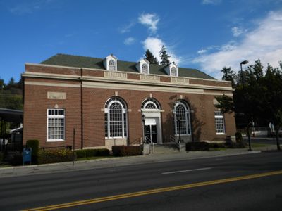
The area is best explored by car since agricultural areas are spread out and public transit is limited. Pullman in the center offers services and facilities for visitors staying in the region.

Did you know?

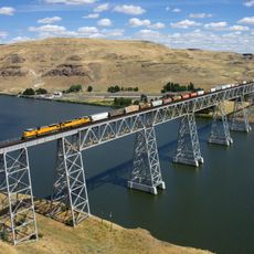
The region is a leading producer of specialized crops that extend well beyond local markets. Barley, lentils, and dried peas grow here in quantities that supply national and international food chains.

Location
Inception
1871
Capital city
Colfax
Shares border with
Spokane County, Benewah County, Latah County, Nez Perce County, Asotin County, Garfield County, Columbia County, Franklin County, Adams County, Lincoln County
GPS coordinates
46.89000,-117.52000
Latest update
December 20, 2025 13:35

AroundUs brings together thousands of curated places, local tips, and hidden gems, enriched daily by 60,000 contributors worldwide. Discover all places nearby (Washington).

Around this place
Palouse Falls
United States of America

Palouse Falls

59.3 km
Martin Stadium
United States of America

Martin Stadium

32.6 km
Steptoe Butte
United States of America

Steptoe Butte

23.2 km
Mullan Road
United States of America

Mullan Road

54 km
Palouse to Cascades State Park Trail
United States of America

Palouse to Cascades State Park Trail

43 km
Marmes Rockshelter
United States of America

Marmes Rockshelter

60.4 km
Palouse Falls State Park
United States of America

Palouse Falls State Park

59.1 km
Lower Granite Dam
United States of America

Lower Granite Dam

26.5 km
Pullman High School
United States of America

Pullman High School

30 km
United States of America

Red Brick Roads

31.5 km
Little Goose Dam
United States of America

Little Goose Dam

51.2 km
Steptoe Battlefield State Park Heritage Site
United States of America

Steptoe Battlefield State Park Heritage Site

39.5 km
Snake River Bridge
United States of America

Snake River Bridge

62.9 km
United States of America

Palouse Ridge Golf Club

33.4 km
United States of America

Steptoe Butte State Park

23.1 km
Lewis and Clark Trail-Travois Road
United States of America

Lewis and Clark Trail-Travois Road

47.5 km
Manning-Rye Covered Bridge
United States of America

Manning-Rye Covered Bridge

9 km
Jewett Observatory
United States of America

Jewett Observatory

33.2 km
Pullman Flatiron Building
United States of America

Pullman Flatiron Building

31.3 km
Bryan Hall
United States of America

Bryan Hall

32.3 km
Joso High Bridge
United States of America

Joso High Bridge

63.3 km
Rosalia Railroad Bridge
United States of America

Rosalia Railroad Bridge

38.9 km
St. Boniface Church, Convent and Rectory
United States of America

St. Boniface Church, Convent and Rectory

50.9 km
Riparia Bridge
United States of America

Riparia Bridge

55.9 km
United States of America

Lower Granite Lake

59.8 km
Dumas Seed Company warehouse
United States of America

Dumas Seed Company warehouse

31.3 km
Cordova Theatre
United States of America

Cordova Theatre

31.2 km
United Presbyterian Church
United States of America

United Presbyterian Church

31.6 km
Show the full map
Administrative divisions
« Whitman County - Administrative division in southeastern Washington, US » is provided by Around Us (aroundus.com). Images and texts are derived from Wikimedia project under a Creative Commons license. You are allowed to copy, distribute, and modify copies of this page, under the conditions set by the license, as long as this note is clearly visible.

Discover hidden gems everywhere you go!

From secret cafés to breathtaking viewpoints, skip the crowded tourist spots and find places that match your style. Our app makes it easy with voice search, smart filtering, route optimization, and insider tips from travelers worldwide. Download now for the complete mobile experience.

Around Us App Screenshot

A unique approach to discovering new places

Le Figaro

All the places worth exploring

France Info

A tailor-made excursion in just a few clicks

20 Minutes

Around Us
Travel Guide & Maps
Download

Send to your phone

QR Code
1

Open the camera app on your mobile.

2

Point at the QR code with your camera. A notification will appear.

3

Tap the notification to open the link.