Shoshone National Forest, Protected forest in Park County, Wyoming, United States
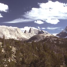
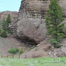
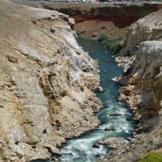
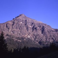
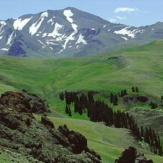
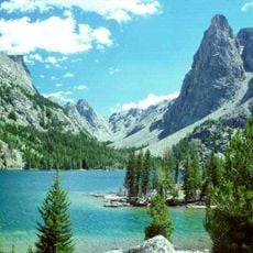
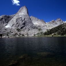
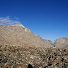
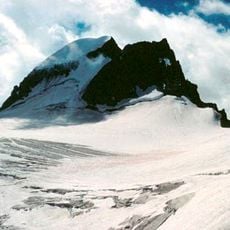
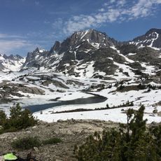
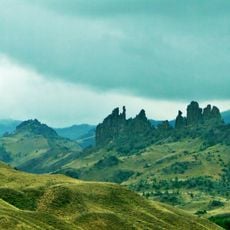
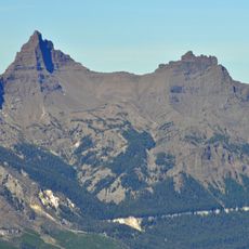
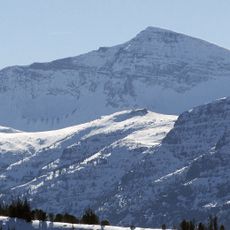
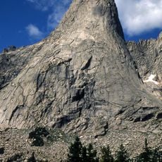
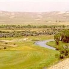
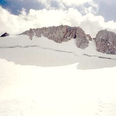
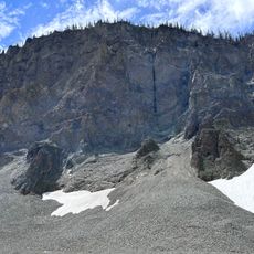
Shoshone National Forest covers nearly 2,500,000 acres in Wyoming, spanning the Absaroka Range, Beartooth Mountains and Wind River Range. Its elevation runs from 1,400 m near Cody to 4,207 m at Gannett Peak, the highest point in the state. The forest borders Yellowstone National Park to the west and contains more than 500 mountain lakes and 4,000 km of streams.
This forest was officially protected in 1891 and became the first national forest established in the United States. That founding moment launched the country's national forest protection program.
The forest is named after the Shoshone, who with the Lakota, Crow and Northern Cheyenne were the main tribes met by early European explorers. Mountainous parts were visited by the Shoshone and Sioux for spiritual healing and vision quests. Washakie, leader of the easternmost Shoshone from the early 1840s, negotiated 44,000,000 acres at the 1868 Fort Bridger Treaty Council; amendments reduced this to about 2,000,000 acres, today's Wind River Indian Reservation.
The forest has more than a thousand miles of hiking trails and several dozen campgrounds spread throughout, making it easy to access different areas. Visitors can enjoy activities like hiking, fishing, camping, and winter sports depending on the season.
Shoshone National Forest is part of the Greater Yellowstone Ecosystem, a nearly unbroken expanse of federally protected lands covering an estimated 20,000,000 acres. The forest itself covers nearly 2,500,000 acres in Wyoming. Its eastern boundary includes the Wind River Indian Reservation, which belongs to the Shoshone and Arapahoe Indians.
The community of curious travelers
AroundUs brings together thousands of curated places, local tips, and hidden gems, enriched daily by 93,703 contributors worldwide.