Chest opened
+${chestReward.xp} XP
Explorer
NOUVEAU ×${chestReward.collectible.quantity}
tapez pour fermer
Chest locked

Open chests in the app

Around Us is built for your phone — chests unlock when you walk, explore and capture nearby places.

Enable Location

We need your location to show you interesting places around you

Discover nearby places

Find interesting locations and hidden gems around you

Precise directions

Get accurate directions and distances to places

Your location is never shared with other users. It's only used when you tap the location button.

Northern Cheyenne Indian Reservation

Log in to your account

Start exploring — it's free

Trusted by 73,076 travelers worldwide

Continue with Google
Continue with Apple
or

We will send you a code to connect

By continuing, you accept our Terms and Conditions and our Privacy Policy

Check your inbox

We've sent a pincode in your inbox. Please enter the code below.

Discussion Reviews 1 Photos
31k Popularity

Northern Cheyenne Indian Reservation, Indigenous reservation in southeastern Montana, United States.

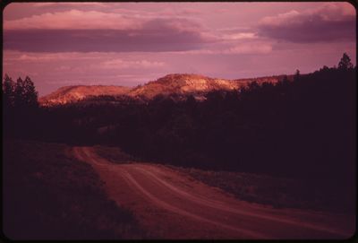
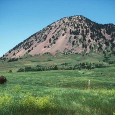
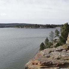
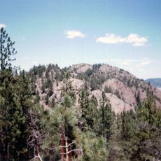
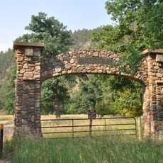
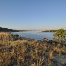
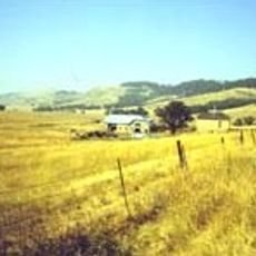
The Northern Cheyenne Indian Reservation is tribal land in southeastern Montana spanning a large area of grassland and river valleys. The territory sits between Tongue River and the Crow Reservation and is governed by the Northern Cheyenne Nation.

The reservation received federal recognition in 1884 through an executive order from President Chester Arthur and was originally called Tongue River Indian Reservation. The tribal land grew over the decades to support the Northern Cheyenne population's needs.

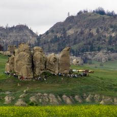
The Northern Cheyenne call themselves Tsis tsis'tas and gather for powwows during Memorial Day and Independence Day celebrations. These events bring people together through dancing, music, and shared family time that reflects their way of life.

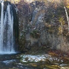
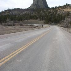
The best way to explore the reservation is by car, as roads connect different parts of the tribal land and important locations. Weather changes significantly with the seasons, so dress appropriately and check local conditions before visiting.

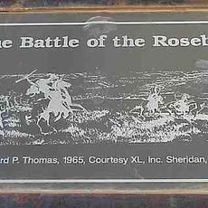
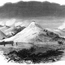
The reservation sits approximately 40 miles east of the Little Bighorn battlefield, where Northern Cheyenne warriors fought alongside Lakota forces in 1876. This historical place remains important to tribal identity and draws visitors interested in learning about these events.

The community of curious travelers

AroundUs brings together thousands of curated places, local tips, and hidden gems, enriched daily by 60,000 contributors worldwide.

Start exploring
Location
Location
Inception
1884
Capital city
Lame Deer
Operator
Northern Cheyenne Tribe of tNorthern Cheyenne Indian Reservation
GPS coordinates
45.53220,-106.68000
Latest update
December 20, 2025 01:44
Around this place
Devils Tower
United States of America

Devils Tower

186.7 km
Geographic center of the United States
United States of America

Geographic center of the United States

236.4 km
Bear Butte
United States of America

Bear Butte

281.7 km
Fort Phil Kearny
United States of America

Fort Phil Kearny

111.9 km
Spearfish Canyon
United States of America

Spearfish Canyon

251.8 km
Vore Buffalo Jump
United States of America

Vore Buffalo Jump

227.4 km
Tower Ladder
United States of America

Tower Ladder

186.8 km
Keyhole State Park
United States of America

Keyhole State Park

201.7 km
Medicine Rocks State Park
United States of America

Medicine Rocks State Park

180.7 km
Inyan Kara Mountain
United States of America

Inyan Kara Mountain

235.2 km
Rosebud Battlefield State Park
United States of America

Rosebud Battlefield State Park

41.8 km
Ranch A
United States of America

Ranch A

232.8 km
Sheridan Inn
United States of America

Sheridan Inn

83.7 km
United States of America

Sheridan Veterans Administration Medical Center

81.9 km
Tongue River Reservoir State Park
United States of America

Tongue River Reservoir State Park

49 km
United States of America

Capitol

204.4 km
Deer Medicine Rocks
United States of America

Deer Medicine Rocks

18.1 km
Frawley Ranch
United States of America

Frawley Ranch

261.7 km
D.C. Booth Historic National Fish Hatchery
United States of America

D.C. Booth Historic National Fish Hatchery

250.9 km
United States of America

Quarter Circle A Ranch

102.7 km
Wolf Mountains Battlefield
United States of America

Wolf Mountains Battlefield

28.2 km
Wyoming Highway 110
United States of America

Wyoming Highway 110

186.9 km
Trail End
United States of America

Trail End

84.4 km
Old Headquarters Area Historic District
United States of America

Old Headquarters Area Historic District

186.4 km
Roughlock Falls Nature Area
United States of America

Roughlock Falls Nature Area

252.5 km
Sheridan Flouring Mills, Inc.
United States of America

Sheridan Flouring Mills, Inc.

86.8 km
Carter County Museum
United States of America

Carter County Museum

170.6 km
United States of America

Fort Howes

50 km
Show the full map
Reviews
Share your experience

No review yet

Discussions
Start a discussion...

No discussion yet

« Northern Cheyenne Indian Reservation - Indigenous reservation in southeastern Montana, United States » is provided by Around Us (aroundus.com). Images and texts are derived from Wikimedia project under a Creative Commons license. You are allowed to copy, distribute, and modify copies of this page, under the conditions set by the license, as long as this note is clearly visible.

Discover hidden gems everywhere you go!

From secret cafés to breathtaking viewpoints, skip the crowded tourist spots and find places that match your style. Our app makes it easy with voice search, smart filtering, route optimization, and insider tips from travelers worldwide. Download now for the complete mobile experience.

Around Us App Screenshot

A unique approach to discovering new places

Le Figaro

All the places worth exploring

France Info

A tailor-made excursion in just a few clicks

20 Minutes

Around Us
Travel Guide & Maps
Download

Send to your phone

QR Code
1

Open the camera app on your mobile.

2

Point at the QR code with your camera. A notification will appear.

3

Tap the notification to open the link.