
McDougall Falls, cascata canadese
Location: British Columbia
Part of: Murtle River
GPS coordinates: 52.09190,-119.87400
Latest update: June 7, 2025 07:44
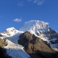
Mount Robson
123.4 km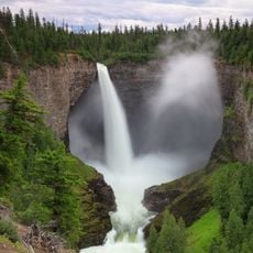
Helmcken Falls
25.8 km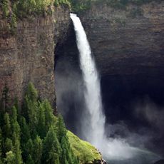
Wells Gray Provincial Park
32 km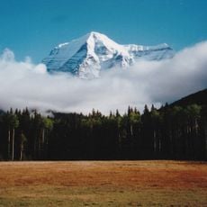
Mount Robson Provincial Park
111.7 km
Kinbasket Lake
97.5 km
Athabasca Pass
119.5 km
108 Mile Ranch
107.9 km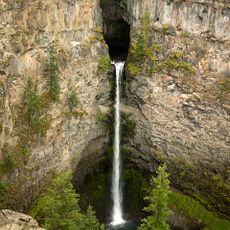
Spahats Creek Falls
41.1 km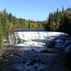
Dawson Falls
21.7 km
Clearwater River
28 km
Lone Butte
108.5 km
Mount Sir Wilfrid Laurier
79.6 km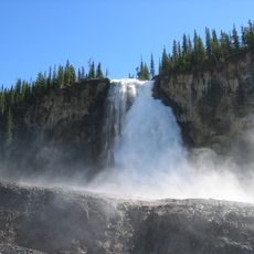
Emperor Falls
124.2 km
Moul Falls
31.1 km
Canim Falls
55.3 km
Resplendent Mountain
122.6 km
Rearguard Falls Provincial Park
104.2 km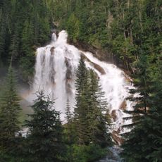
Pyramid Creek Falls Provincial Park
56.5 km
Adams Lake Provincial Park
123.8 km
Green Lake Provincial Park
118.6 km
Rearguard Falls
104.2 km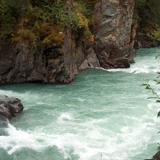
Overlander Falls
114.3 km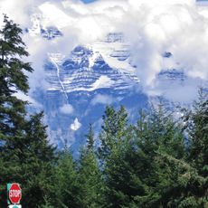
Mount Terry Fox Provincial Park
103.7 km
Canim Beach Provincial Park
74.7 km
Bridge Lake Provincial Park
88.5 km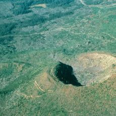
Flourmill Volcanoes
30.6 km
Cariboo Mountains Provincial Park
98.3 km
Caligata Lake Provincial Park
40 kmReviews
Visited this place? Tap the stars to rate it and share your experience / photos with the community! Try now! You can cancel it anytime.
Discover hidden gems everywhere you go!
From secret cafés to breathtaking viewpoints, skip the crowded tourist spots and find places that match your style. Our app makes it easy with voice search, smart filtering, route optimization, and insider tips from travelers worldwide. Download now for the complete mobile experience.

A unique approach to discovering new places❞
— Le Figaro
All the places worth exploring❞
— France Info
A tailor-made excursion in just a few clicks❞
— 20 Minutes