North Saskatchewan River, Glacial river in Alberta and Saskatchewan, Canada
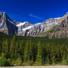
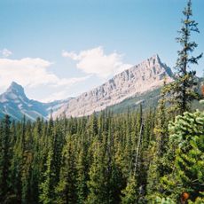
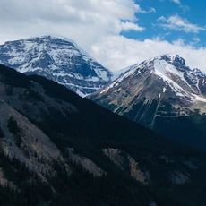
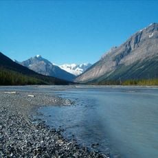
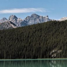
The North Saskatchewan River is a glacial waterway that begins in the Rocky Mountains and flows eastward through Alberta and Saskatchewan before joining another major river. It passes through river valleys with parks and recreation areas, creating natural green corridors through urban centers along its path.
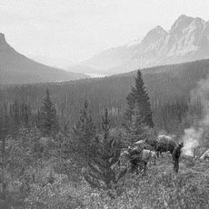
Early European traders explored and mapped this river starting in the mid-1700s, establishing trading posts along its banks. The waterway became important for commerce, and its current name reflects its geographic position between two major river systems.
The river's name comes from a Cree word that reflects the Indigenous peoples' deep connection to this waterway over many centuries. Today, the place holds meaning for local communities as a natural corridor that runs through the heart of their cities.
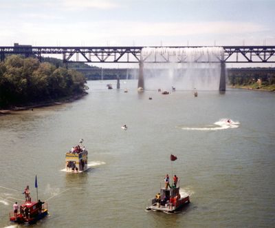
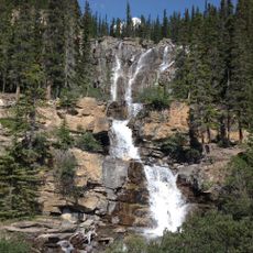
This river is best explored through the parks and trails that line its banks, particularly in urban areas where well-developed paths make access easy. Walking and cycling routes follow the valley throughout the year, offering different perspectives depending on the season and location.
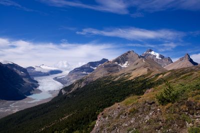
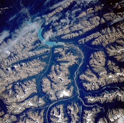
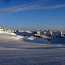
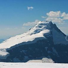
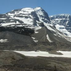
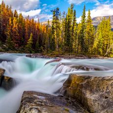
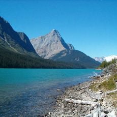
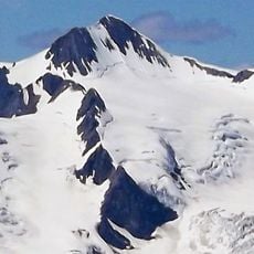
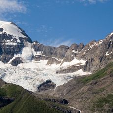
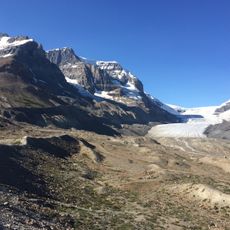
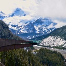
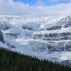
Meltwater from glaciers high in the Rocky Mountains feeds this river, giving its water a distinctive milky-green color that shifts with the seasons. This glacial source makes the river visibly different from other waterways, carrying mountain origins across hundreds of kilometers.
The community of curious travelers
AroundUs brings together thousands of curated places, local tips, and hidden gems, enriched daily by 60,000 contributors worldwide.