Pinheiros District, Administrative district in São Paulo, Brazil
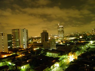
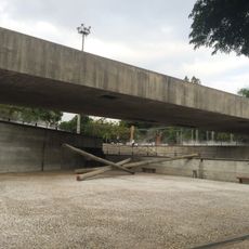
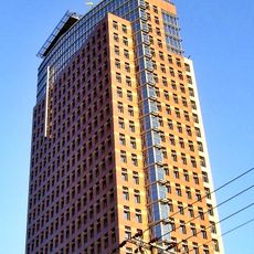
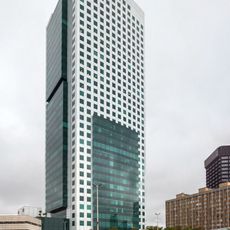
Pinheiros is an administrative district in São Paulo that spans multiple square kilometers and combines residential zones, business areas, and transportation networks in a densely populated part of the city. The region consists of various neighborhoods such as Jardim Europa and Jardim Paulistano, connected through major streets like Avenida Nações Unidas.
The area was originally covered by dense forests of pine trees before transforming into a residential neighborhood during the 20th century. This transformation made it a major part of growing São Paulo with an established infrastructure and population structure.
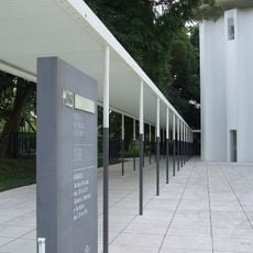
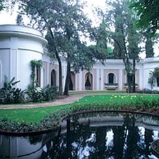
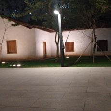
Jardim Europa and Jardim Paulistano shape the area as upscale residential neighborhoods with parks and local shops, where you experience the rhythm of a more affluent part of the city. The streets show a mix of older houses and modern buildings where families and professionals go about their daily lives.
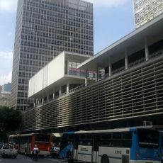
The district has good connections to other parts of São Paulo through main roads, making it easy to reach nearby areas like Morumbi and Jardim Paulista. Plan to use the major streets if you are navigating between different areas or taking public transportation.
The area is known for a high level of well-being among São Paulo's neighborhoods, visible in how homes and green spaces are maintained. These differences become immediately apparent when walking through the streets and observing the quieter, better-equipped residential blocks.
The community of curious travelers
AroundUs brings together thousands of curated places, local tips, and hidden gems, enriched daily by 60,000 contributors worldwide.