Colombia-Venezuela border
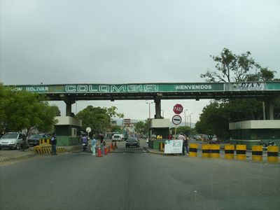
Colombia-Venezuela border, International border line between Colombia and Venezuela, South America
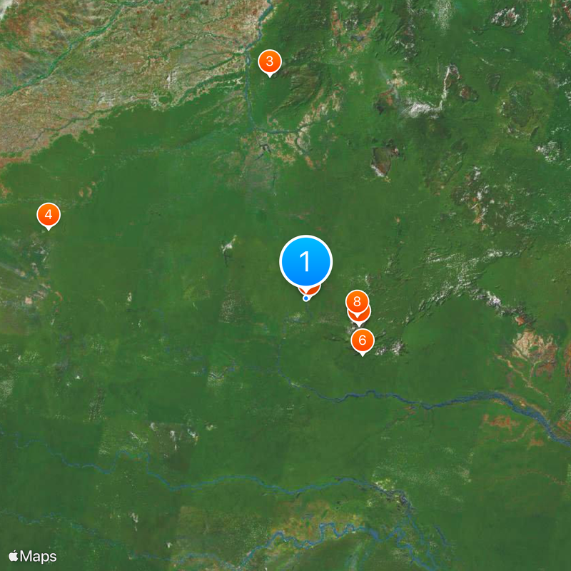
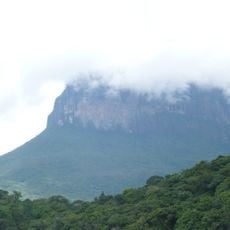
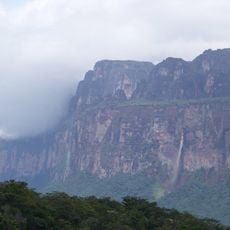
This international line runs for 2,219 kilometers (1,378 miles) through rivers, mountains and tropical rainforest in northern South America. It connects two countries that share landscapes ranging from Caribbean coastal strips to vast plains known as the Llanos.
The line was established in 1891 through a Spanish arbitration award as both nations worked to clarify their colonial inheritances. Its final shape was confirmed in 1941 through a treaty on limits and river navigation signed by both governments.
Several indigenous groups, including the Wayuu and the Barí, live across this territory and have maintained their languages and customs for centuries. Many families reside on both sides and regularly cross to visit relatives or trade at local markets.
Travelers should carry valid identification and use only official crossings in towns such as Cúcuta or San Cristóbal. Movement across the line can vary greatly depending on political conditions and time of day, so flexibility helps when planning.
Along the route, 603 physical markers trace the line while four major rivers form natural sections. The Río de Oro, Catatumbo, Táchira and Orinoco serve as geographic dividers in places between the two countries.
Part of: borders of Colombia, borders of Venezuela
GPS coordinates: 1.22778,-66.86944
Latest update: December 12, 2025 21:03
Pico da Neblina
107 km
Cerro Autana
408.9 kmThe Hub on Causeway
483.3 km
Piedra del Cocuy
5.5 km
Pico da Neblina National Park
144.4 km
Pico 31 de Março
106.9 km
Serranía La Neblina National Park
97.6 km
Piedra del Cocuy Natural Monument
5.5 km
Jaua-Sarisariñama National Park
484.2 km
Parima-Tapirapecó National Park
335.8 km
Yapacana National Park
273.6 km
Duida-Marahuaca National Park
314.3 km
Mamirauá Sustainable Development Reserve
410.2 km
Cachoeira do El Dorado
394.8 km
Cerro Duida
277.7 km
Morro dos Seis Lagos Biological Reserve
103.1 km
Serra do Aracá State Park
391.1 km
Forte de São José de Marabitanas
19.1 km
Cué-cué/Marabitanas Indigenous Territory
43 km
Auatí-Paraná Extractive Reserve
402.8 km
Cerros Camani y Morrocoy Natural Monument
459 km
Parú-Euaja Massif Natural Monument
388.1 km
Cerros Vinilla y Aratitiyope Natural Monument
185.4 km
Cuao-Sipapo y Moriche Massif Natural Monument
432.5 km
Monumento Natural Cerro Autana
408.9 km
Sipapo Forest Reserve
460.1 km
Sierra Unturan Natural Monument
170.6 km
Cerros Tapirapecó y Tamacuari Natural Monument
234.5 kmVisited this place? Tap the stars to rate it and share your experience / photos with the community! Try now! You can cancel it anytime.
Discover hidden gems everywhere you go!
From secret cafés to breathtaking viewpoints, skip the crowded tourist spots and find places that match your style. Our app makes it easy with voice search, smart filtering, route optimization, and insider tips from travelers worldwide. Download now for the complete mobile experience.
A unique approach to discovering new places❞
— Le Figaro
All the places worth exploring❞
— France Info
A tailor-made excursion in just a few clicks❞
— 20 Minutes