Inn, Alpine river in Grisons and Tyrol, Switzerland and Austria.
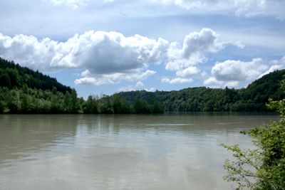
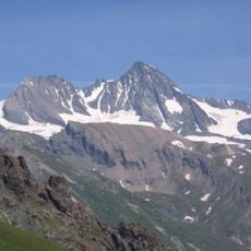
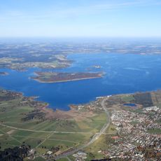
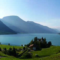
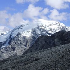
The Inn is an Alpine river in the cantons of Grisons and Tyrol, as well as Bavaria and Upper Austria. It begins as a small stream at Lake Lunghin above 2,400 meters (7,900 feet) and grows through the Engadine into a wide waterway that eventually joins the Danube near Passau.
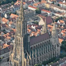
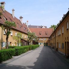
Roman merchants used the waterway as a link between southern and northern trading centers, leading to the founding of several settlements. During the Middle Ages, castles and monasteries arose along the banks to control the transport of goods on the water.
The waterway gave the Austrian state of Tyrol its name through its Latin designation, which remains visible in place names along its course. Bridges and riverbanks show centuries-old construction methods that recall the time when people had to protect their homes from floods.
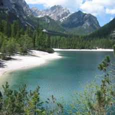
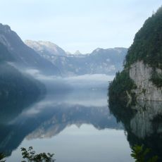
Walking paths follow the banks in many sections and allow visitors to experience the landscape up close. The current can become especially strong in spring after the snowmelt.
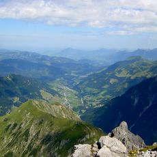
At the source of the waterway lies a point where the watersheds of three major European river systems meet. Water from this area can flow toward the North Sea, the Black Sea, or the Adriatic depending on its direction.
The community of curious travelers
AroundUs brings together thousands of curated places, local tips, and hidden gems, enriched daily by 60,000 contributors worldwide.