Khizi District, Administrative district in northeastern Azerbaijan
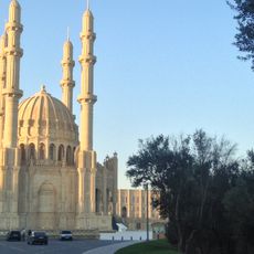
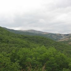
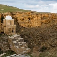
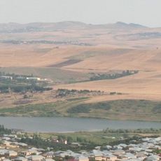
Khizi District is an administrative area in northeastern Azerbaijan, stretching from the Caspian coast inland toward mountain ranges. The landscape shifts between forested hills, river valleys, and semi-desert zones, with several rivers crossing the territory and feeding local farmland.
The district was established as an administrative unit in 1930 during the Soviet period. When Azerbaijan gained independence in 1991, the district kept its boundaries and administrative role largely unchanged.
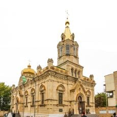
Azerbaijani and Tat communities live side by side in the villages of the district, each with their own language and way of life. Visitors passing through the rural areas can observe how pastoral routines still shape the rhythm of daily life here.
The district covers a wide range of terrain, so it helps to decide in advance whether you want to explore the coastal edge, the forested hills, or the semi-desert interior. Having your own transport makes moving between these areas much easier, as distances can be long.
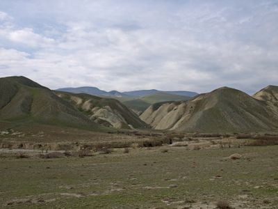
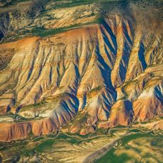
West of the village of Gilazi, a series of hills known as the Candy Cane Mountains display layers of red, white, and other earthy tones across their slopes. These striped rock formations are the result of natural geological layering and are visible directly from the road passing through the area.
The community of curious travelers
AroundUs brings together thousands of curated places, local tips, and hidden gems, enriched daily by 60,000 contributors worldwide.