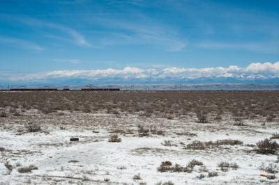
Kur-Araz Lowland, Extensive lowland region in central-southern Azerbaijan
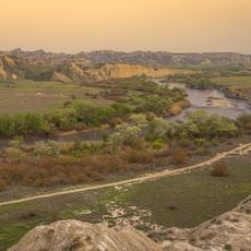
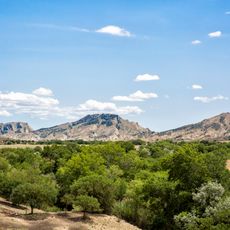
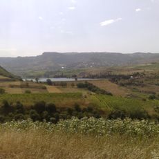
The Kur-Araz Lowland is a large flat region in central-southern Azerbaijan lying between mountain ranges and the Caspian Sea coast. Two major rivers flow through this terrain and shape the landscape with their water systems.
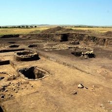
People settled in this area during the Bronze Age and developed early farming techniques that later spread to other parts of the Caucasus region. These methods shaped how agriculture developed across the surrounding lands.
The meeting of two major rivers created fertile soil where Azerbaijani farming communities developed their agricultural ways over generations. You can still see how people organize and work the land in ways shaped by these long traditions.
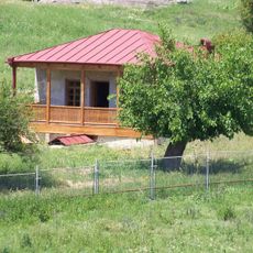
The region is crossed by irrigation channels that distribute water across the fields for growing many different crops. The best time to explore is during the warmer months when fields are green and the land shows full farming activity.
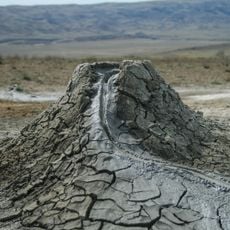
Sediments deposited by the rivers over many thousands of years have created a natural depression where parts of the landscape sit below sea level. This unusual geological condition has shaped the land and becomes visible when looking closely at the terrain.
The community of curious travelers
AroundUs brings together thousands of curated places, local tips, and hidden gems, enriched daily by 60,000 contributors worldwide.