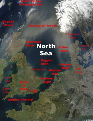
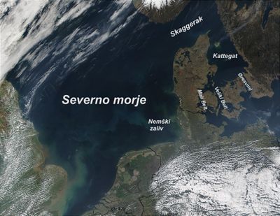
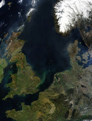
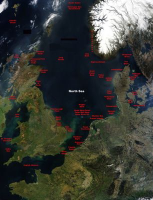
North Sea, Marginal sea between Great Britain, Norway, Denmark, Germany, Netherlands, Belgium and France.
The North Sea lies between Great Britain, Norway, Denmark, Germany, the Netherlands, Belgium and France, covering an area where the water mostly remains shallow. It connects south through the English Channel and north through open passages to the Atlantic.
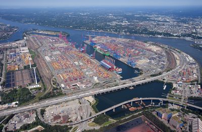
After the last ice age ended around 20000 years ago, melting glaciers filled the basin with water and permanently connected formerly dry land to the ocean. Over centuries, these waters shaped coastlines and created conditions for settlement, trade and fishing.
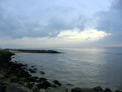
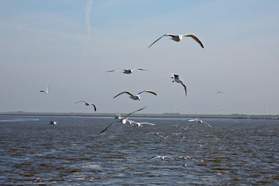
Coastal towns live by tides and the rhythm of fishing seasons, with daily routines shaped by the weather and the sea. Local markets and harbors show how communities prepare boats, mend nets and sell fish straight from the docks.
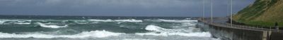
In winter the water cools to around 6 degrees Celsius (43 degrees Fahrenheit), rising to about 17 degrees Celsius (63 degrees Fahrenheit) in summer, which affects both recreational activities and fish movements. Tides can be strong and access to beaches, harbors and coastal sections changes noticeably throughout the day.
The Norwegian Trench reaches depths of around 700 meters (2300 feet) and forms a distinct geological depression along the southern Norwegian coast. This formation contrasts with the otherwise shallow waters and creates particular currents and living conditions beneath the surface.
The community of curious travelers
AroundUs brings together thousands of curated places, local tips, and hidden gems, enriched daily by 60,000 contributors worldwide.