Chest opened
+${chestReward.xp} XP
Explorer
NOUVEAU ×${chestReward.collectible.quantity}
tapez pour fermer

See the monuments around you in AR Open chests in the app

Around Us is built for your phone — point your camera at the streets and discover the monuments and places around you in augmented reality. Around Us is built for your phone — chests unlock when you walk, explore and capture nearby places.

Enable Location

We need your location to show you interesting places around you

Discover nearby places

Find interesting locations and hidden gems around you

Precise directions

Get accurate directions and distances to places

Your location is never shared with other users. It's only used when you tap the location button.

Rainy River

Log in to your account

Start exploring — it's free

Trusted by 81,240 travelers worldwide

Continue with Google
Continue with Apple
or

We will send you a code to connect

By continuing, you accept our Terms and Conditions and our Privacy Policy

Check your inbox

We've sent a pincode in your inbox. Please enter the code below.

Rainy River
Discussion Reviews 1 Photos
12.2k Popularity

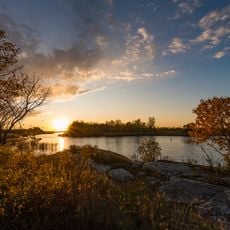
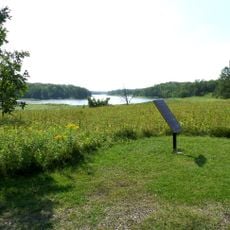
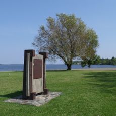
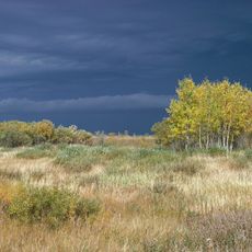
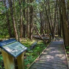
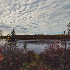
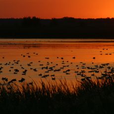
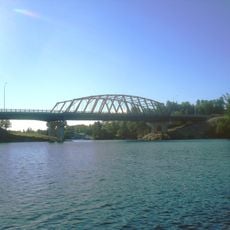
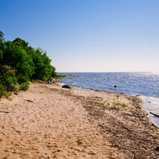
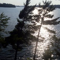
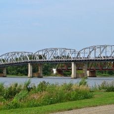
Rainy River, Border river between Minnesota and Ontario, United States and Canada

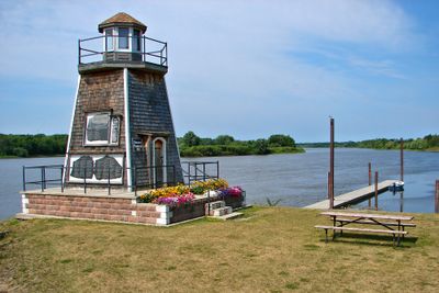
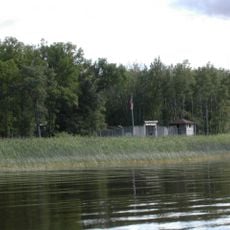
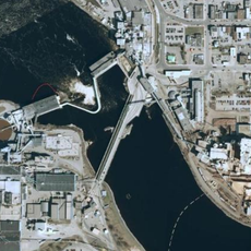
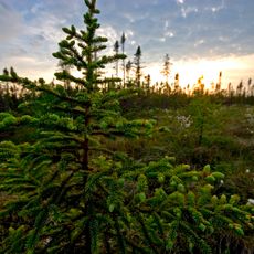
The Rainy River flows roughly 85 miles from Rainy Lake to Lake of the Woods, forming the boundary between Minnesota and Ontario. Forests and wetlands line the banks throughout its course.

French fur traders named the river 'Rivière à la Pluie' in the 1600s, establishing a major trade corridor. This route connected Indigenous communities and European settlers for centuries.

The river is known as 'Gojiji-ziibi' in the Ojibwe language and remains central to the Couchiching First Nation. The community continues to maintain its connection to this area through traditional practices and land use.

Boat launches are available in International Falls, Minnesota, and Fort Frances, Ontario, for river access. Fishing requires a valid license from the respective country.

The river holds a remarkable record for a white sucker specimen that was caught near Loman, Minnesota. The catch weighed 6 pounds 8 ounces, an exceptional size for this fish species.

The community of curious travelers

AroundUs brings together thousands of curated places, local tips, and hidden gems, enriched daily by 60,000 contributors worldwide.
Start exploring
Location
Location
GPS coordinates
48.84028,-94.68444
Latest update
December 7, 2025 20:46
Around this place
Fort Saint Charles
United States of America

Fort Saint Charles

62 km
Fort Frances – International Falls International Bridge
Canada

Fort Frances – International Falls International Bridge

97.7 km
Big Bog State Recreation Area
United States of America

Big Bog State Recreation Area

73.2 km
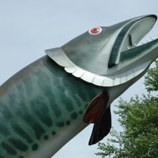
Husky the Muskie
Canada

Husky the Muskie

104.4 km
Grand Mound
United States of America

Grand Mound

80.3 km
United States of America

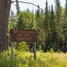
Northwest Angle State Forest

55.7 km
Zippel Bay State Park
United States of America

Zippel Bay State Park

13.1 km
Kay-Nah-Chi-Wah-Nung
Canada

Kay-Nah-Chi-Wah-Nung

49.7 km
Fort Saint Pierre
Canada

Fort Saint Pierre

100.3 km
Agassiz National Wildlife Refuge
United States of America

Agassiz National Wildlife Refuge

108 km
Hayes Lake State Park
United States of America

Hayes Lake State Park

65.1 km
Franz Jevne State Park
United States of America

Franz Jevne State Park

49.7 km
Agassiz Wilderness
United States of America

Agassiz Wilderness

104.1 km
Sioux Narrows Bridge
Canada

Sioux Narrows Bridge

76.8 km
Baudette – Rainy River International Bridge
United States of America

Baudette – Rainy River International Bridge

15.1 km
Birch Point Provincial Park
Canada

Birch Point Provincial Park

54.2 km
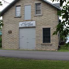
Finstad's Auto Marine Shop
United States of America

Finstad's Auto Marine Shop

101.3 km
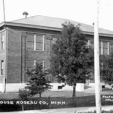
Roseau County Courthouse
United States of America

Roseau County Courthouse

79.2 km
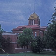
Koochiching County Courthouse
United States of America

Koochiching County Courthouse

97.3 km
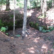
Gold Mine Sites
United States of America

Gold Mine Sites

114.5 km
Sioux Narrows Provincial Park
Canada

Sioux Narrows Provincial Park

79.8 km
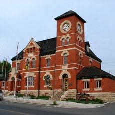
Old Post Office Building
Canada

Old Post Office Building

104.3 km
Agassiz Headquarters Fire Observation Tower
United States of America

Agassiz Headquarters Fire Observation Tower

113.1 km
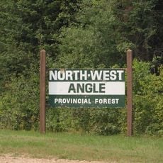
Northwest Angle Provincial Forest
Canada

Northwest Angle Provincial Forest

70.3 km
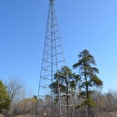
Faunce Lookout Tower
United States of America

Faunce Lookout Tower

33.8 km
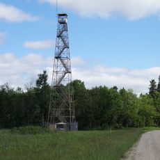
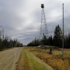
Rapid River Fire Tower
United States of America

Rapid River Fire Tower

30.6 km
Black Bay Lookout Tower
United States of America

Black Bay Lookout Tower

114.2 km
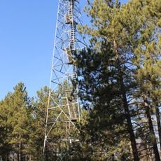
Linder Fire Tower
United States of America

Linder Fire Tower

71.5 km
Show the full map
Reviews
Share your experience

No review yet

Discussions
Start a discussion...

No discussion yet

« Rainy River - Border river between Minnesota and Ontario, United States and Canada » is provided by Around Us (aroundus.com). Images and texts are derived from Wikimedia project under a Creative Commons license. You are allowed to copy, distribute, and modify copies of this page, under the conditions set by the license, as long as this note is clearly visible.

Discover hidden gems everywhere you go!

From secret cafés to breathtaking viewpoints, skip the crowded tourist spots and find places that match your style. Our app makes it easy with voice search, smart filtering, route optimization, and insider tips from travelers worldwide. Download now for the complete mobile experience.
Around Us App Screenshot

A unique approach to discovering new places

Le Figaro

All the places worth exploring

France Info

A tailor-made excursion in just a few clicks

20 Minutes

Around Us
Travel Guide & Maps
Download

Send to your phone

QR Code
1

Open the camera app on your mobile.

2

Point at the QR code with your camera. A notification will appear.

3

Tap the notification to open the link.