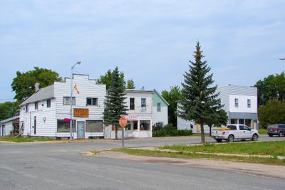
Rainy River, town in Ontario, Canada
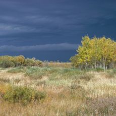
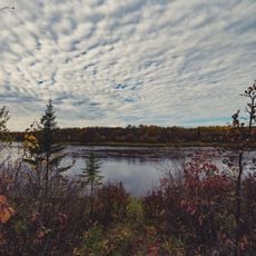
Rainy River is a small town in northwestern Ontario situated directly on the border with the United States. It sits along the river that shares its name and is defined by open spaces, trees, and water that shape the community.
The town grew as a key railway junction, with the railroad shaping the region and its communities. At the Railroad 4008 Heritage Museum, visitors can see the old locomotive and learn how rail transport influenced the area's development.
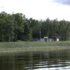
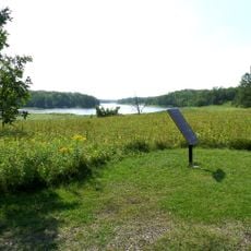
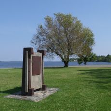
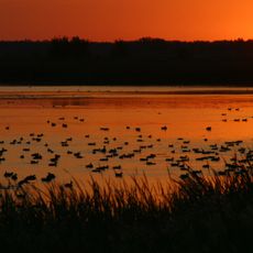
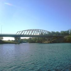
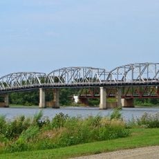
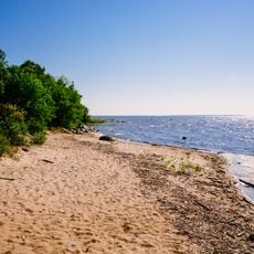
The town takes its name from the river that forms the border between Canada and the United States. Water is woven into daily life here, with boats on the river and people gathering along the banks.
The town is best visited during summer and fall when the weather is mild and nature displays its colors. The Visitor Centre on Highway 11 provides maps and information for planning day trips to local attractions.
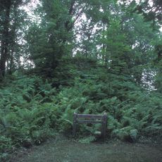
The Norlund Chapel is one of the smallest churches in North America and attracts visitors interested in local architecture. Its unusual size and simple beauty make it a surprising find for travelers exploring the area.
The community of curious travelers
AroundUs brings together thousands of curated places, local tips, and hidden gems, enriched daily by 60,000 contributors worldwide.